Fifty-nine bridges, hundreds of curves and a rainforest that never quite lets go of the road. How to drive to Hāna well: what to book, where to stop and how to be a good guest.
A road built for patience
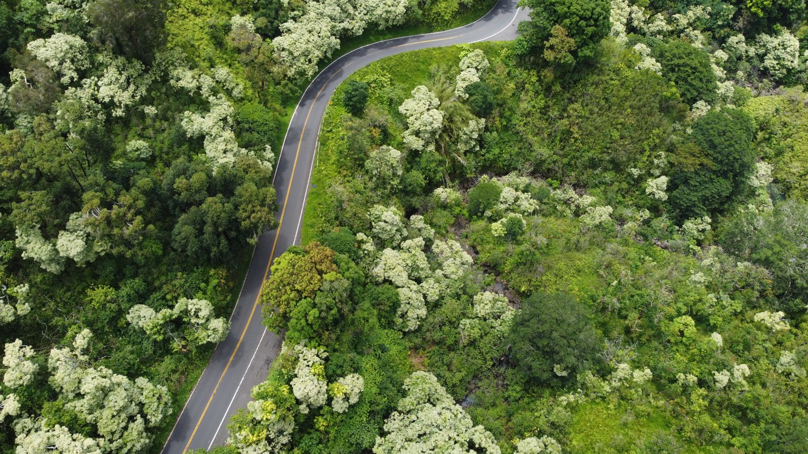
Just past Haʻikū the houses thin out, the road narrows and the first of the one-lane bridges appears around a blind bend. A pickup coming the other way flashes its lights, you wave it through, and somewhere below a waterfall drops into a pool you cannot quite see. That is the rhythm of the Hāna Highway for the next few hours: slow, green, wet and absurdly beautiful.
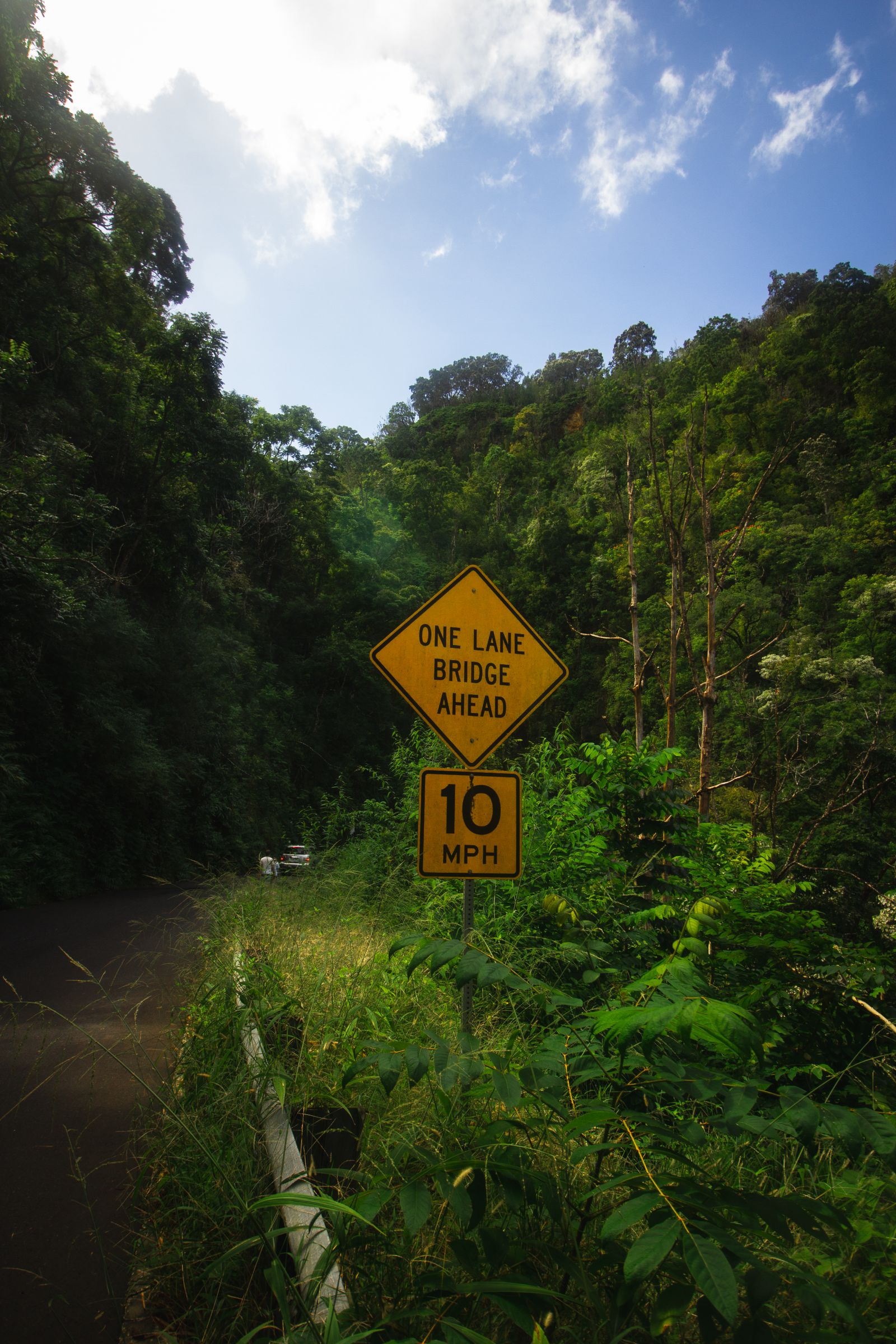
The road follows Maui's windward north-east coast from Kahului to Hāna, about 84 km (52 miles) of which the famous part is roughly the last 50 km. It opened all the way to Hāna on 18 December 1926, but it was not fully paved until the 1960s, and many of its concrete and steel bridges are older than the road itself. In 2001 it was listed on the National Register of Historic Places. Count on around 620 curves and 59 bridges, 46 of them only one car wide.
How the mile markers work
Almost every guide, including this one, uses mile markers, and they can confuse first-timers. The highway is Route 36 from Kahului to just past Haʻikū, then becomes Route 360. The markers reset to zero where Route 360 begins, so “mile 17” means 17 miles along Route 360, not from the airport. In Hāna town, Route 360 ends near mile 34. Beyond Hāna the road continues as Route 31 towards Kīpahulu, with its own markers.
The stops below are rough positions; small yellow markers can be hidden by vegetation, so watch your odometer as well.
The best stops, in order
| Approx. marker | Stop | Notes |
|---|---|---|
| Pāʻia (before Rt 360) | Pāʻia town | Last easy fuel, coffee and picnic supplies |
| Rt 360, around 2 | Twin Falls | Short walk to falls on private farmland; parking fee and farm stand |
| Around 12 | Kaumahina State Wayside | Restrooms and a coastal view |
| Around 17 | Keʻanae Peninsula | Lava coast, taro patches and a historic church; famous banana bread nearby |
| Around 19 | Wailua valley lookouts and roadside falls | Pull fully off the road or skip it |
| Around 22 | Puaʻa Kaʻa State Wayside | Small falls and pools beside the road |
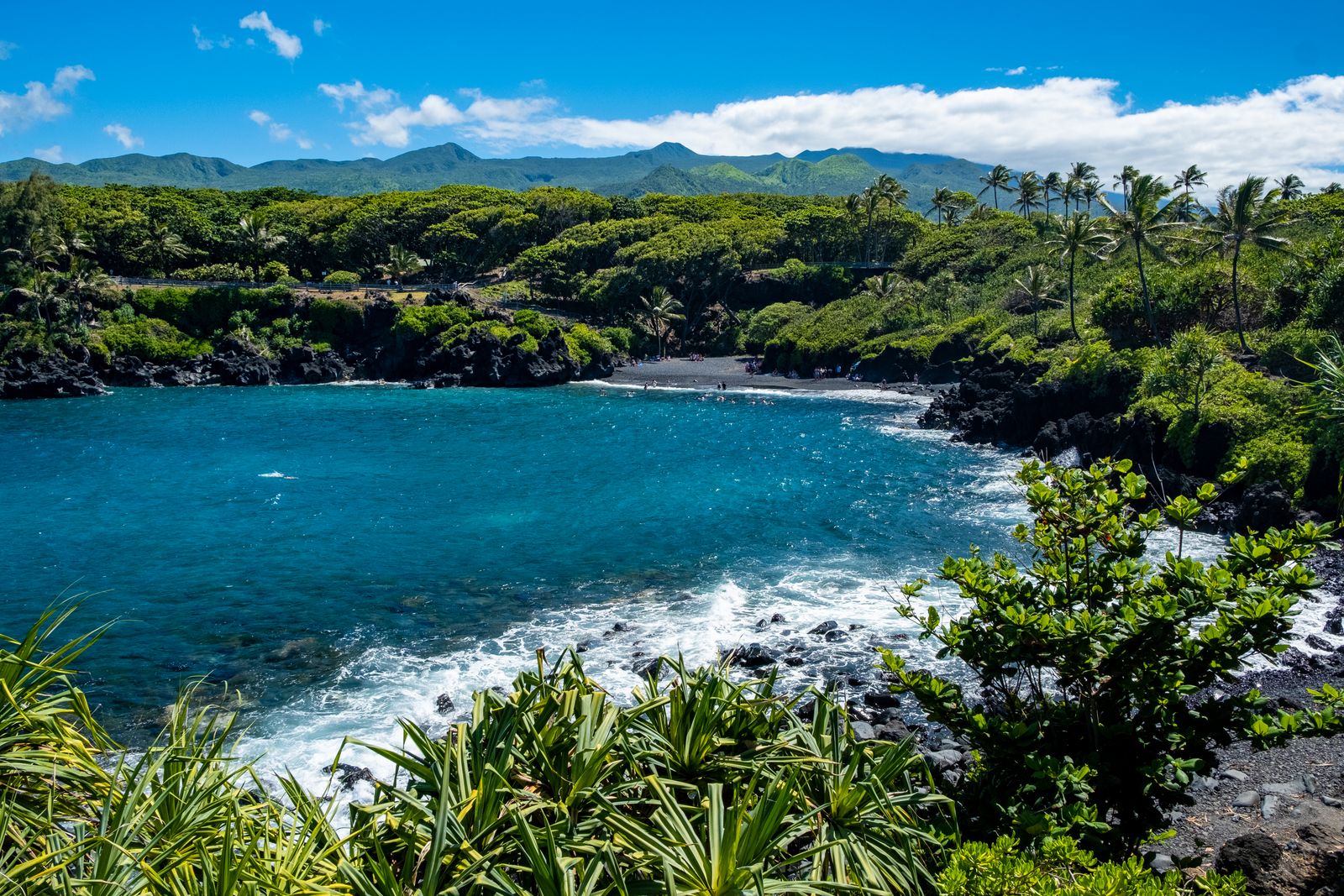
| Around 32 | Waiʻānapanapa State Park | Black-sand beach and coastal trail; reservation required |
| Around 34 | Hāna town | Hāna Bay, small shops, lunch |
| Rt 31, mile 42 | Kīpahulu, Haleakalā National Park | ʻOheʻo Gulch and the Pīpīwai Trail; park fee |
You will not do all of these, and you should not try. Pick four or five, give each a proper stop, and accept that the drive itself is the attraction. Waterfalls that require crossing fences or private land are not shortcuts to an adventure: many are on private property, and trespassing on them is a long-running sore point with east Maui residents.
Waiʻānapanapa: book before you go
Waiʻānapanapa State Park, with its black-sand beach, sea arch, lava caves and the old coastal path towards Hāna, is the one stop non-residents cannot just turn up to. As of October 2026, reservations are required for both entry and parking through the state's Go State Parks website. They open 30 days ahead, one day at a time, at midnight Hawaiʻi time. Non-residents pay $5 per person for entry (children 3 and under free) and $10 per vehicle for parking per time slot. Slots are a few hours long, such as 7am to 10am, and you must leave when yours ends. Walk-ins are turned away unless you are a Hawaiʻi resident with ID.
Book a late-morning or early-afternoon slot to fit a mid-morning start from the central valley. The ocean here is often rough, with strong currents and no lifeguard, so treat the beach as a place to look rather than swim. Camper van camping at the park is unavailable until about March 2027 while new restrooms are built.
Hāna town and Kīpahulu
Hāna is a small, close-knit community, not a resort. There is a bay, a beach park, a couple of general stores, food trucks and a quiet pace. The country around it is cattle land and forest. Hāmoa Beach, a short drive south, is one of the prettiest beaches on Maui, but heed the waves in winter.
About 16 km (10 miles) further, past Hāna on Route 31, is the Kīpahulu District of Haleakalā National Park. As of October 2026 entry is $30 per private vehicle, valid for three days and covering the summit district too, so keep your receipt if you plan to see sunrise at Haleakalā. The short Kūloa Point loop leads to the tiered pools of ʻOheʻo Gulch. Note that the park prohibits entering the stream anywhere in the park, so these are pools to admire, not swim in.
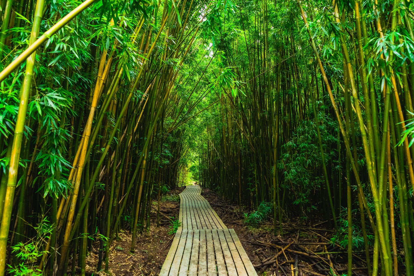
The highlight is the Pīpīwai Trail: about 6.4 km (4 miles) return, climbing past an overlook of Makahiku Falls and a huge banyan, then through a dense bamboo forest on boardwalks to Waimoku Falls, which drops about 120 m (400 ft). Allow three hours, start by early afternoon at the latest, and turn back if the stream is rising.
Driving etiquette and the back road
East Maui residents use this road to get to work, school and the doctor. Being a good guest makes a real difference:
- Pull over when someone is behind you. Locals drive it daily and will be faster.
- One-lane bridges: yield when the sign says so, and let a small group of cars from the other side cross in turn before you go.
- Never stop on the road or on a bridge for photos. Park only where all four wheels are off the tarmac.
- Respect no-parking signs and private gates. Fines and towing are real, and so is the resentment.
- Fill up in Pāʻia or Kahului, and pack food and water.
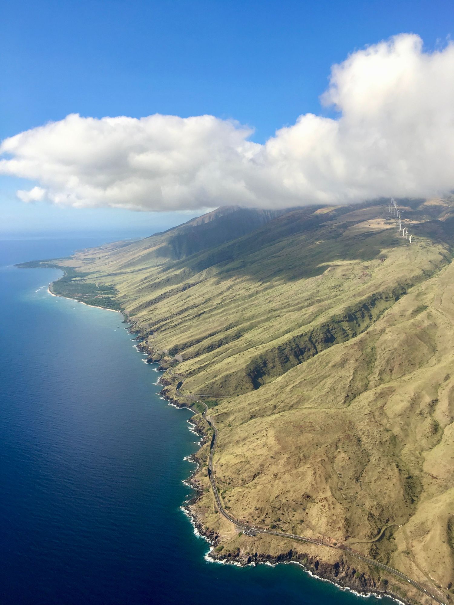
Beyond Kīpahulu the road continues around the south side of Haleakalā as the Piʻilani Highway, the so-called back road. It is narrow, with blind cliffside bends, rough and sometimes unpaved stretches, and few services. Some car rental contracts restrict or exclude it, so read yours. After heavy rain or storm damage it can close. Most first-time visitors are better off returning the way they came.
Timing, safety and weather
Leave early, ideally by 7am, to stay ahead of the tour vans and give yourself time to drive back in daylight; the road is far harder in the dark. Rain is part of the deal on this coast and falls in every month, but a grey day is often the most atmospheric. The real hazard is flash flooding: streams can rise within minutes from rain you cannot see falling upslope. Never cross a flooded stream and never swim below a waterfall during or after heavy rain. Falling rocks are a risk at the base of cliffs and falls too.
Storms can close parts of the route. In late September 2026 Maui's state parks, including the waysides along this road and Waiʻānapanapa, closed briefly for storm safety before reopening in early October. Check the state parks notices and Maui County road updates the night before.
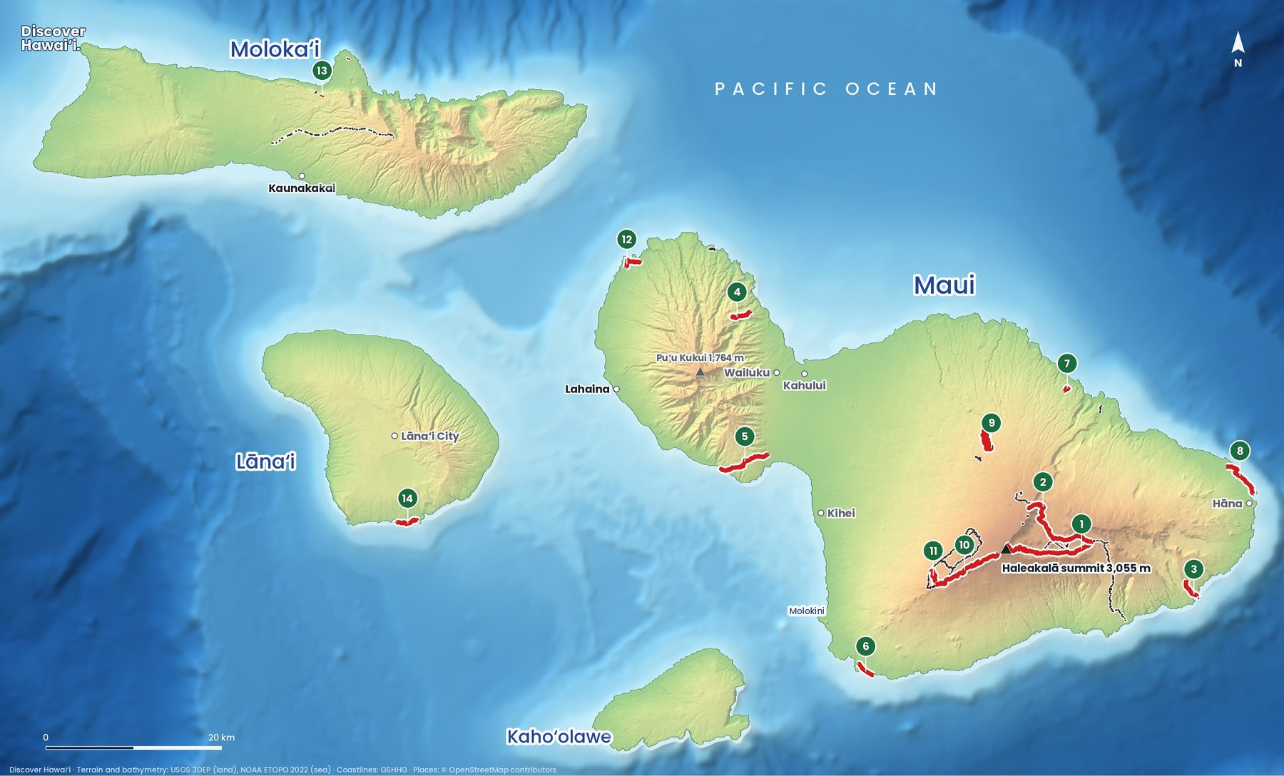
If you would rather not drive, guided tours and GPS audio-guide apps both work well. For a wider Maui plan, see things to do on Maui, our Maui hiking trails map, the Maui island page and, for booking the island's other permits, what to reserve before you go. If you have a spare half-day on the other side of the island, ʻĪao Valley is another lush, easy stop.
Quick answers
Do you need a reservation for the Road to Hāna?
Not for the road itself. Non-residents do need advance entry and parking reservations for Waiʻānapanapa State Park, which open 30 days ahead on the state's Go State Parks site.
How long does the Road to Hāna take?
About 2.5 hours each way from Kahului without stops. With stops and the drive back, plan a full day of 10 to 12 hours, or stay overnight in Hāna.
Can you swim at the Seven Sacred Pools (ʻOheʻo)?
No. Haleakalā National Park prohibits entering the stream anywhere in the park, including the pools at ʻOheʻo Gulch, because of flash floods and falling rocks.
Is the back road from Hāna safe?
The Piʻilani Highway is narrow, rough in places and remote, and some rental contracts restrict it. Most first-time visitors should drive back the way they came.
What mile marker is Hāna?
Hāna town is around mile 34 on Route 360. The markers start from zero where Route 360 begins past Haʻikū, not at the airport.
Facts checked October 2026. Reservations, fees, opening hours and trail or road closures change often in Hawaii, so confirm with the official source before you go.
- Waiʻānapanapa State Park (Hawaiʻi DLNR Division of State Parks)
- Waiʻānapanapa reservations FAQ (Go State Parks Hawaiʻi)
- Important park notices (Hawaiʻi DLNR Division of State Parks)
- Fees and passes, Haleakalā National Park (NPS)
- Kīpahulu Campground, Haleakalā National Park (NPS)
- Pools of ʻOheʻo (Go Hawaiʻi)
- Hana Highway (AARoads Wiki)
- Hiking the Pipiwai Trail to Waimoku Falls (Hawaii Magazine)