A 135-metre waterfall a short walk from the car park, and a sacred valley best seen from the cliff top. Here is what has changed on the Hāmākua Coast, and how to plan a day there properly.
Rain, ginger and a 135-metre drop
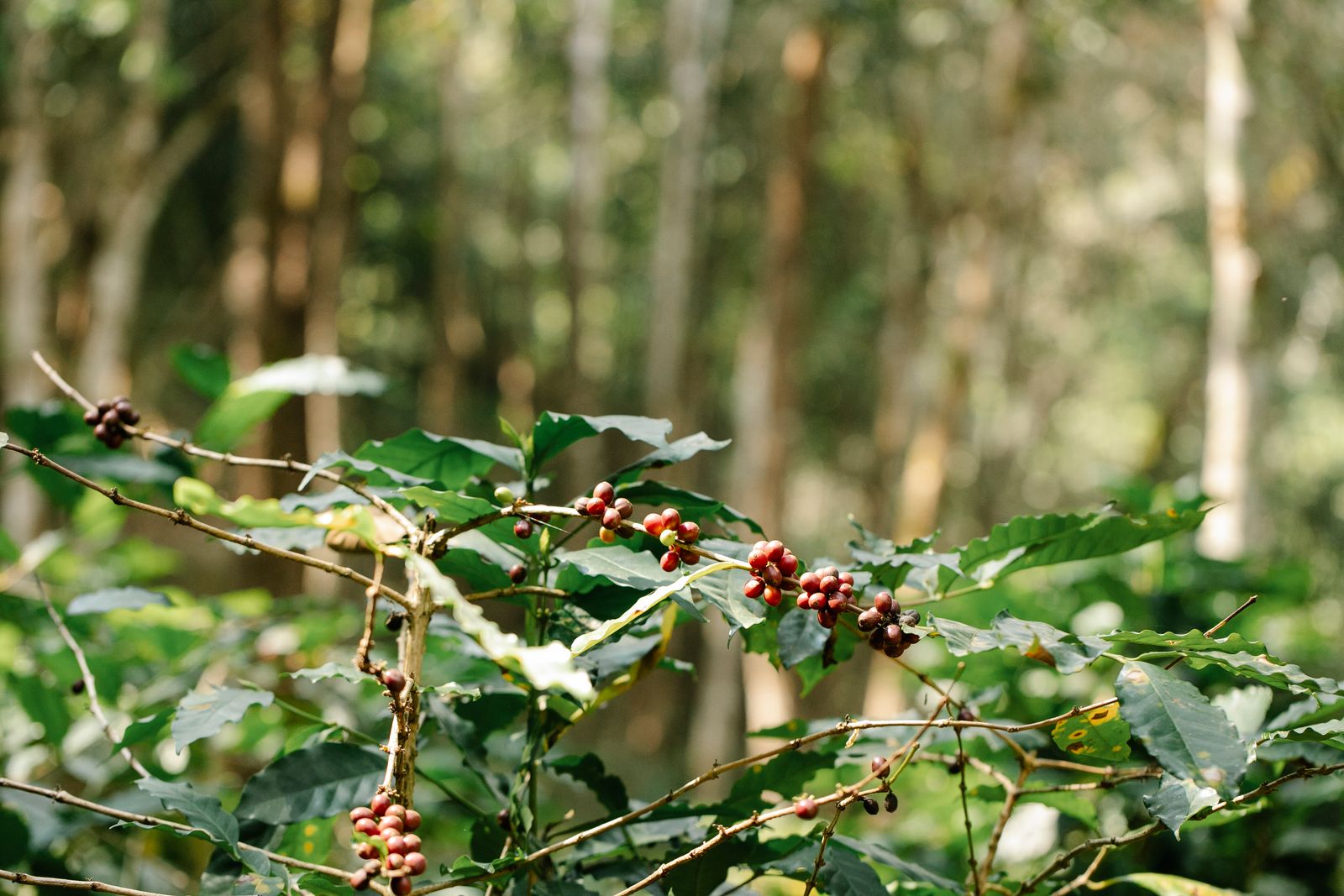
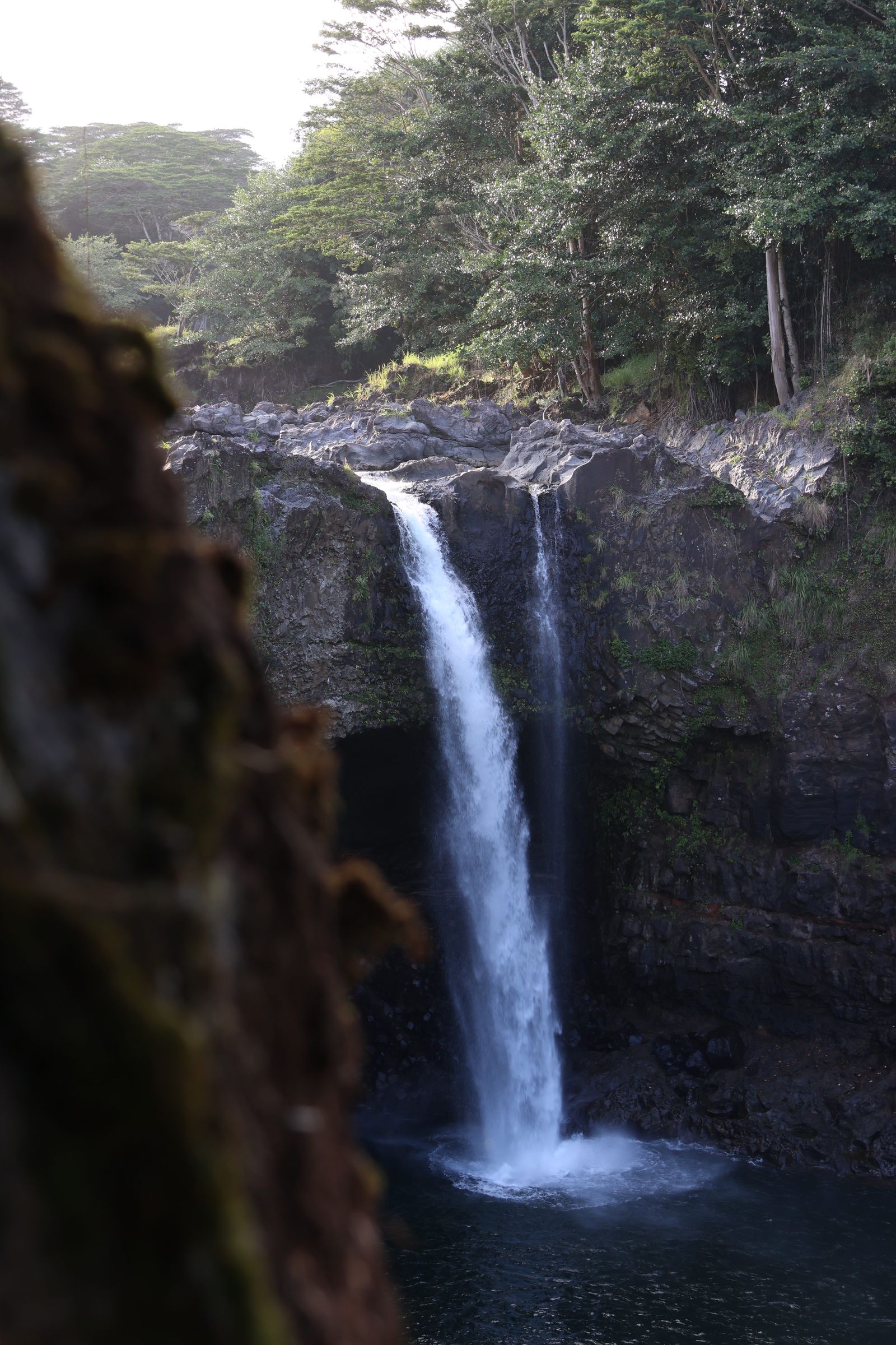
The rain stops just as you leave the car park in Honomū. The path drops into a tunnel of bamboo, wild ginger and giant philodendron, every leaf dripping. You hear ʻAkaka Falls before you see it: a low, steady roar. Then the trees open and a single white ribbon of water falls 442 feet (about 135 metres) into a fern-lined gorge.
A little further up the Hāmākua Coast, the road ends at a cliff edge above Waipiʻo Valley, a deep green amphitheatre of taro patches, waterfalls and black sand. Together they make one of the classic day trips on Hawaiʻi Island, but the rules for both have changed in recent years, so it pays to check before you go.
ʻAkaka Falls State Park: fees, hours and the loop
ʻAkaka Falls State Park covers about 26 hectares (65 acres) of rainforest above the village of Honomū, roughly 20 minutes' drive north of Hilo. A paved 0.4-mile (650-metre) loop passes viewpoints over Kahuna Falls and ends at the main lookout over ʻAkaka. It is short but has many steps, and it is not wheelchair accessible.
Fees and hours (as of October 2026): the park is open daily from 8.30 am to 5 pm. Non-residents pay $5 per person to enter (children 3 and under are free) and $10 per vehicle to park. Hawaiʻi residents enter and park free with ID. Payment is by card only, and Hawaiʻi State Parks advises paying before you arrive because mobile reception at the park is poor. No timed reservation is listed for ʻAkaka, unlike some state parks.
When we checked in October 2026, the park's notices said part of the trail was closed after fallen trees, so check the State Parks page on the morning you go. Stay on the paved path, and do not climb barriers for a better view: the gorge sides are steep and slick.
Waipiʻo Valley: the Valley of the Kings
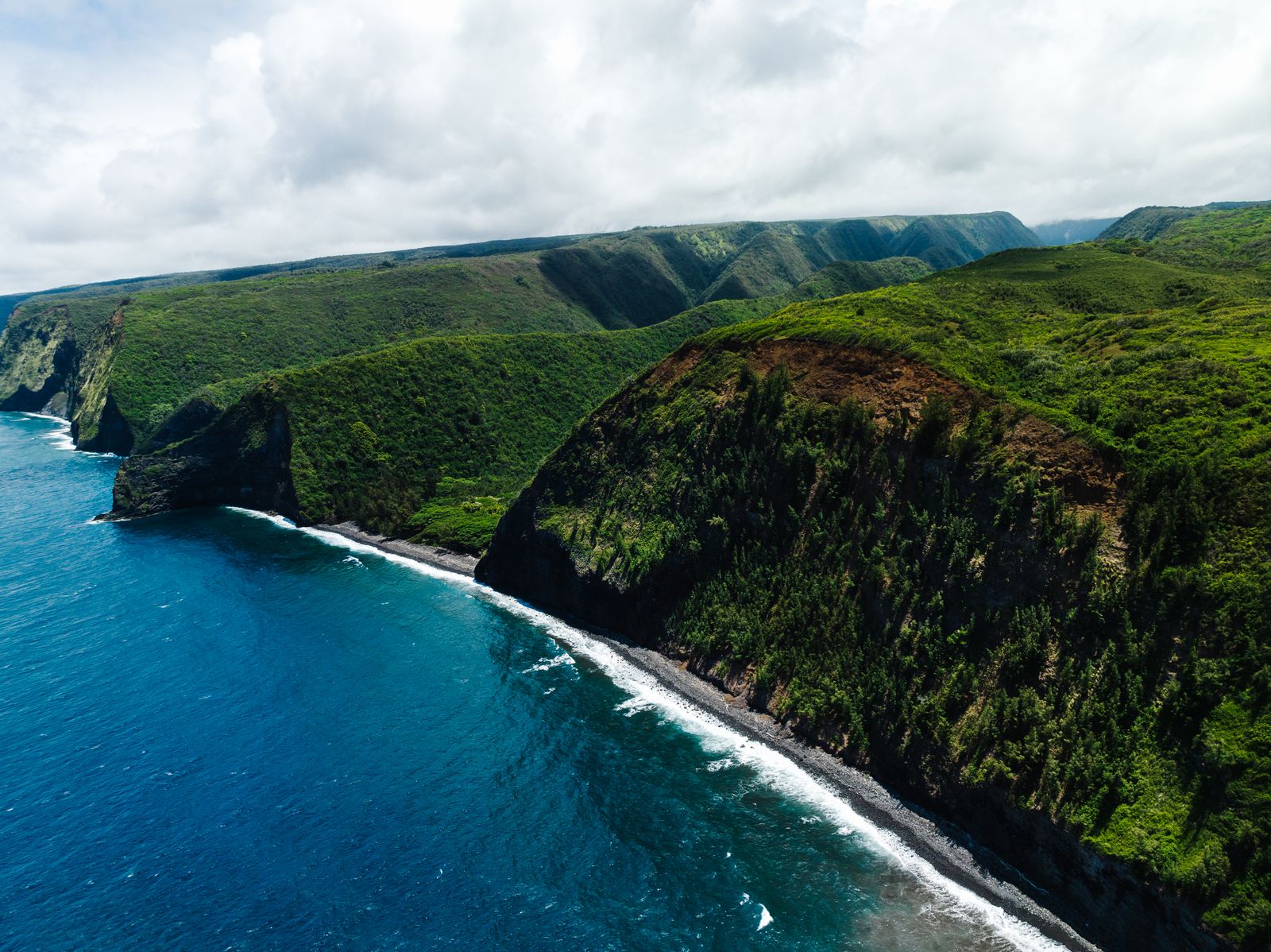
Waipiʻo is the largest of the valleys cut into the old Kohala volcano, and one of the most important places in Hawaiian history. It was a home of ruling chiefs, including Līloa, and it is often called the Valley of the Kings. For centuries its streams fed loʻi kalo (taro fields) that supported a large population, and families still farm taro there today.
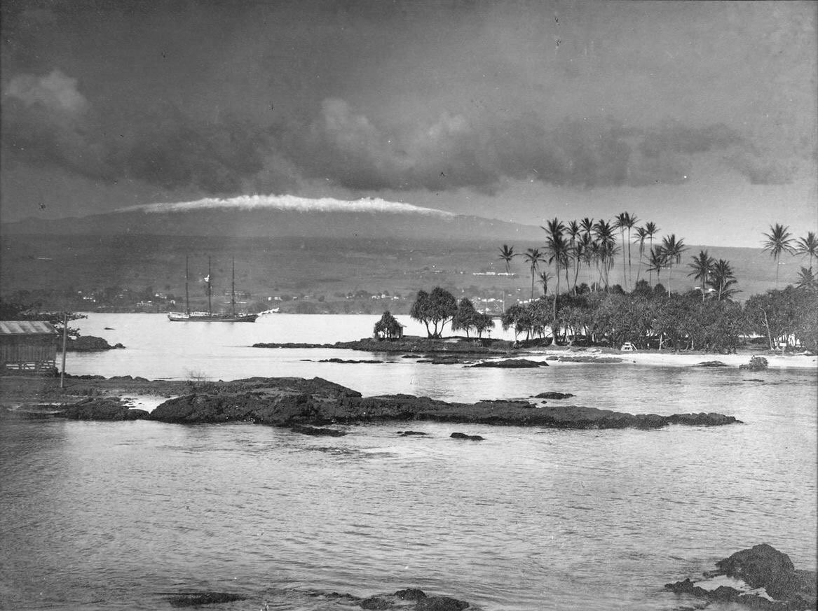
The valley has also suffered. The tsunami of April 1946 swept into it, and many residents left afterwards, a story told in our article on the Hilo tsunamis of 1946 and 1960. Hiʻilawe, one of the tallest waterfalls in the islands, plunges from the back of the valley, and the beach at the mouth is black sand with powerful surf and currents.
Who can go down the Waipiʻo road?
The road from the lookout into the valley is often described as one of the steepest roads in the United States, and it has been under emergency rules since 2022 because of safety concerns about its condition. The rules have been renewed many times. The latest we found, issued by the Mayor of Hawaiʻi County on 1 July 2026, keep the road closed to pedestrians, horse riders and open vehicles such as ATVs.
The only exceptions are Hawaiʻi County residents, permitted, licensed and insured tour operators, and Native Hawaiians exercising traditional and customary rights. Vehicles must be low-range four-wheel drive (all-wheel drive does not count), and the road can be shut completely in bad weather or during repairs.
- For most visitors: enjoy the valley from the lookout at the end of Highway 240, past Kukuihaele.
- To go down: book a tour with an operator that holds a current permit from the Mayor's Office, and ask to see it.
- Do not walk the road: it is against the rules and it is genuinely dangerous.
- Check before you go: rules are renewed every few months on the County of Hawaiʻi website.
The valley floor is home to families and farms, much of it private land. Even with a tour, stay on the route, do not enter taro patches and do not swim at the river mouth.
What you see from the Waipiʻo lookout
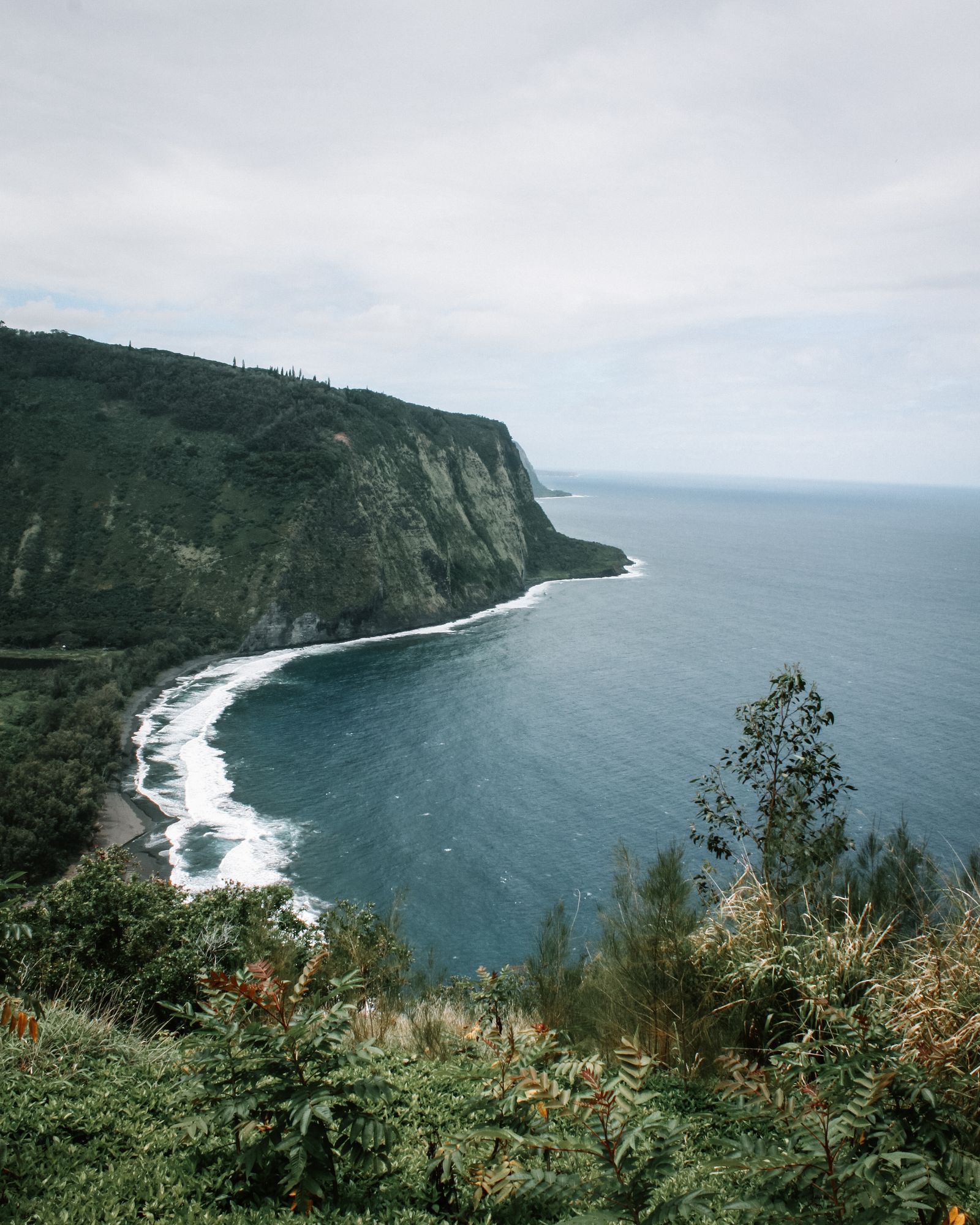
The lookout sits on the rim of the valley's eastern wall, high above the sea. On a clear day you can follow the black-sand beach across the valley mouth, the river winding through green fields and the sheer western cliffs folding away towards Kohala. Waterfalls thread down the back walls after rain, and on some days you can pick out the long white line of Hiʻilawe deep inside the valley.
It is a place to slow down. Many Hawaiians regard Waipiʻo as sacred, the resting place of chiefs and a centre of old religious life, and families who live below still farm and fish there. Keep voices low, do not fly drones over homes and farms, and leave nothing behind. If the car park is full, do not park on verges or block residents' driveways in Kukuihaele; come back a little later instead.
The Hāmākua Coast drive
Highway 19 between Hilo and Honokaʻa crosses a series of gulches and old sugar towns, with the sea far below. This was cane country for more than a century, and the plantation story is told in our history of Hawaii's sugar plantations.
- Honomū: the little village below ʻAkaka, with cafés and plantation-era storefronts.
- Laupāhoehoe Point: a lava peninsula and county park with a memorial to the teachers and children lost in the 1946 tsunami. The sea here is not for swimming.
- Honokaʻa: an old sugar town with a main street of wooden shops, the last stop before the lookout.
- Waipiʻo Valley Lookout: the finale, about 15 minutes beyond Honokaʻa.
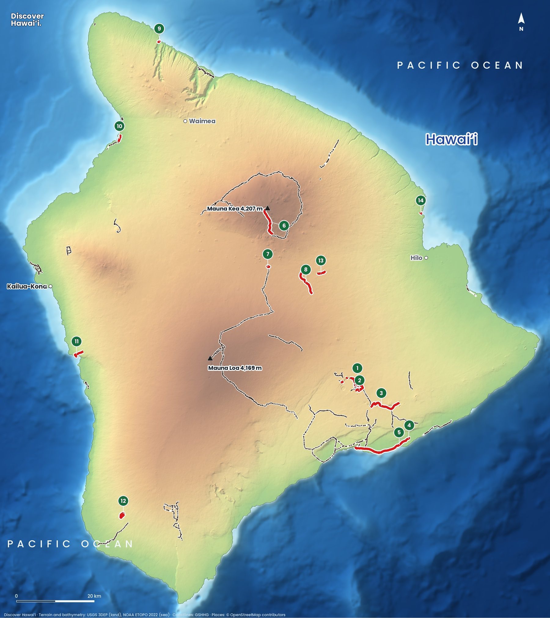
For trails on this side of the island and beyond, see our Big Island hiking trails map.
If you have time, slow down on the old Hāmākua road loops that leave the highway near Honomū and Pepeʻekeo. These narrow scenic routes dip into stream gulches lined with tropical trees and offer glimpses of the coast that the main road misses. Drive them slowly: they are used by locals, cyclists and farm vehicles, and parking on the narrow shoulders is not allowed in many places.
Drive times at a glance
All times are approximate and assume no roadworks or traffic. The Hāmākua road is winding, so allow extra time for viewpoints.
| Route | Approx. drive | Notes |
|---|---|---|
| Hilo to ʻAkaka Falls | 20 to 25 min | Via Highway 19 and Honomū |
| ʻAkaka Falls to Honokaʻa | 45 min | Stop at Laupāhoehoe Point on the way |
| Honokaʻa to Waipiʻo lookout | 15 min | Highway 240 through Kukuihaele |
| Kailua-Kona to Waipiʻo lookout | About 1 hr 45 min | Via Waimea |
Best time and safety
The Hāmākua Coast is the wet side of the island, and that is why the waterfalls are so good. Mornings are often clearer, with showers building in the afternoon. After heavy rain ʻAkaka is at its most powerful, but streams across the island can rise in minutes, so never cross a stream in flood or stand in a streambed under a waterfall.
- Timing: reach ʻAkaka soon after it opens at 8.30 am, then drive north to the Waipiʻo lookout for midday views.
- From Kona: allow a full day, or loop over Waimea and back via the Saddle Road.
- Bring: a rain jacket, insect repellent and shoes with grip for wet steps.
- Respect closures: fines apply on closed trails and roads, and rescues put others at risk.
Pair the day with a night in Hilo; our comparison of Kona and Hilo helps you choose a base, and things to do on the Big Island fills in the rest.
Quick answers
How much does it cost to visit Akaka Falls?
As of October 2026, non-residents pay $5 per person to enter and $10 per vehicle to park, by card only. Children 3 and under and Hawaiʻi residents with ID are free.
How long is the Akaka Falls walk?
The paved loop is 0.4 miles (about 650 metres) and takes 30 to 45 minutes with stops. It has many steps and is not wheelchair accessible.
Can you hike down into Waipio Valley?
Not at the moment. Under the County of Hawaiʻi emergency rules renewed in July 2026, the Waipiʻo Valley road is closed to pedestrians. Only county residents, permitted tour operators and Native Hawaiians exercising traditional rights may use it, in low-range four-wheel-drive vehicles.
Can you still see Waipio Valley?
Yes. The lookout at the end of Highway 240, past Kukuihaele, gives the classic view of the valley, its cliffs and the black-sand beach.
Do you need a reservation for Akaka Falls?
No timed reservation is listed as of October 2026, but State Parks advises paying entry and parking online before you arrive because mobile reception is poor.
Facts checked October 2026. Reservations, fees, opening hours and trail or road closures change often in Hawaii, so confirm with the official source before you go.