A crescent of sand nearly 2 miles long, green mountains streaked with waterfalls, a pier from the rice-shipping days and a valley of taro. Hanalei is the heart of Kauaʻi's north shore. Here is how to enjoy it, in summer calm and winter surf.
The king's yacht
On 5 April 1824 the royal yacht of King Kamehameha II, the Haʻaheo o Hawaiʻi (Pride of Hawaiʻi), sailed into Hanalei Bay and struck a reef about 100 yards offshore in the bay's south-west corner. The ship, once a luxury American vessel bought for the king, was lost. Its wreck lay in shallow water for more than 170 years until Smithsonian archaeologists excavated it between 1995 and 2000, recovering more than 1,200 artefacts.
That shallow reef is a reminder of what Hanalei is like. On a summer morning the bay looks like a lake. In winter, the same water can hold some of the biggest surf on the island. Both are part of its character, and knowing which season you are in is the key to enjoying it safely.
Why Hanalei is special
Hanalei Bay is the largest bay on Kauaʻi's north shore, with nearly 2 miles (3.2 km) of sand curving beneath steep, green mountains. In wet weather many waterfalls run down the cliffs behind it. The small town of Hanalei sits at the middle of the bay, and the Hanalei River flows out at its eastern end beside the pier.
People have farmed this valley for centuries. Hawaiians grew kalo (taro) in its wetlands; from the 1860s rice became the main crop, much of it grown by Chinese immigrant farmers, and was shipped to Honolulu; today taro is back, and some of the families who farm it have worked this land for generations. The Waiʻoli mission has had a church and school here since the 1830s. Hollywood came later: the pier and bay were used in South Pacific, released in 1958, and Hanalei appears in The Descendants (2011).
Hanalei Pier
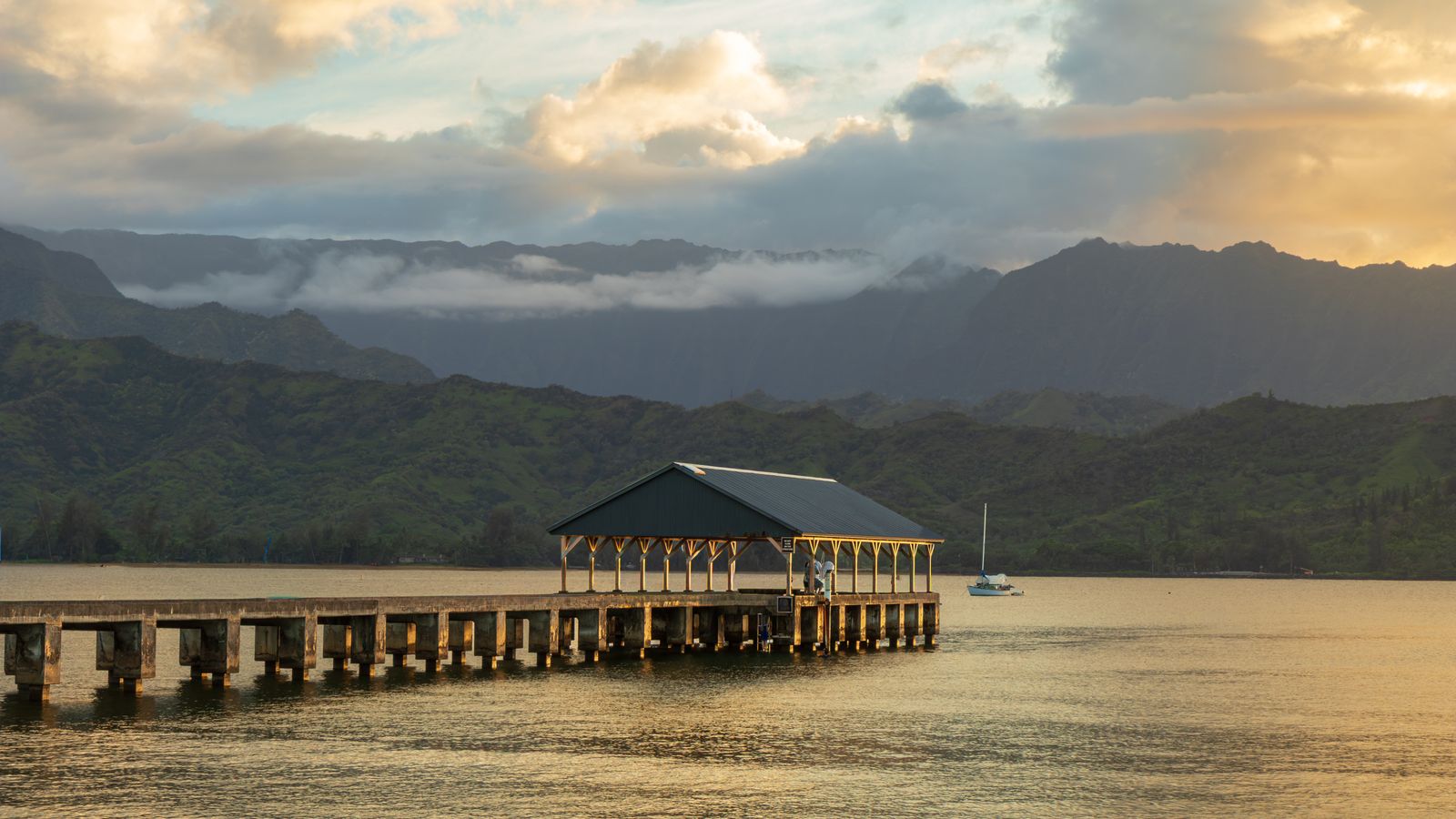
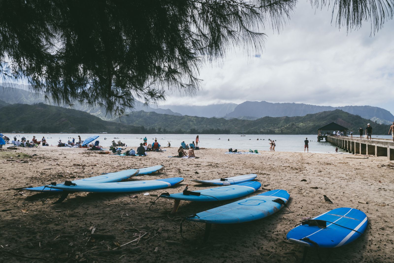
The pier at the eastern end of the bay was first built of wood before 1892 to help farmers ship their crops. It was lengthened to about 100 metres (340 feet) in 1912 and given a concrete deck in 1922. Rice exports faded after annexation, when Hawaiian rice could not compete with California's, and the pier stopped being used for shipping in 1933.
Since then it has been a gathering place for the town: fishing, jumping, picnicking and watching the sunset. It was listed on the National Register of Historic Places in 1979, damaged by Hurricane ʻIniki in 1992, and its roof at the far end was restored with money raised by the Hanalei Rotary Club in 2012 and 2013. The beach beside it, known locally as Black Pot, is the bay's main family spot.
The taro fields and the wildlife refuge
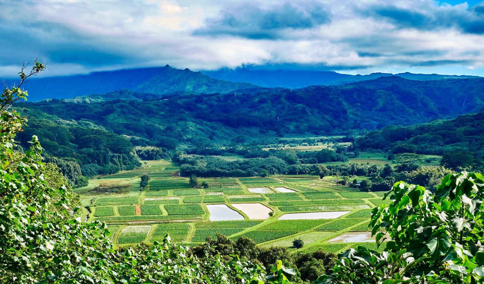
Just before you drop down into Hanalei, the road from Princeville passes a view over the Hanalei Valley: a patchwork of flooded taro patches beneath the mountains, with the river winding through. Much of the valley floor is the Hanalei National Wildlife Refuge, established in 1972 and covering 917 acres. According to the US Fish and Wildlife Service, the refuge produces more than 40 per cent of Hawaiʻi's kalo, the root used to make poi.
The wet taro fields also shelter endangered Hawaiian waterbirds, including the aeʻo (Hawaiian stilt), ʻalae keʻokeʻo (Hawaiian coot), ʻalae ʻula (Hawaiian moorhen) and koloa maoli (Hawaiian duck). The refuge itself is closed to the public, and the farms are private. The best place to look is the refuge viewpoint near the Princeville town centre, opened on 30 April 2024, with two lookouts, about 25 parking spaces, displays and toilets. Its listed hours are Tuesday to Saturday, 8.30 a.m. to 4.30 p.m., but check before you go. The older roadside pull-out on the highway fills by mid-morning.
The one-lane bridges
At the bottom of the hill you cross the Hanalei River on a narrow steel truss bridge. The original was built in 1912; the present bridge is an exact replica, rededicated in 2003. Beyond the town, more one-lane bridges carry the road towards Wainiha and Hāʻena. They limit the size of vehicles that can reach the north shore, and many residents value them for exactly that reason.
- Take turns in groups. Let the line of cars from the other side finish crossing, then your side goes, usually a handful of cars at a time.
- Wave a shaka to say thanks.
- Do not stop on or near the bridges for photos.
Storms test this road. Hurricane Lowell in September 2026 damaged homes along the north shore and flooded the highway, and Wainiha lost a sandbar. Drive slowly, give way to work crews, and remember that many people here are still repairing houses.
Swimming, surfing and winter waves
Summer. From about May to September, Hanalei is usually calm and one of the best swimming bays on Kauaʻi. Families swim near the pier, paddleboarders head up the river, and beginners take surf lessons on small waves.
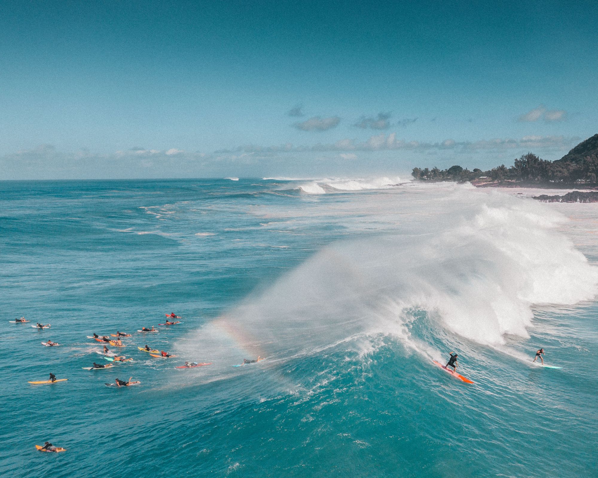
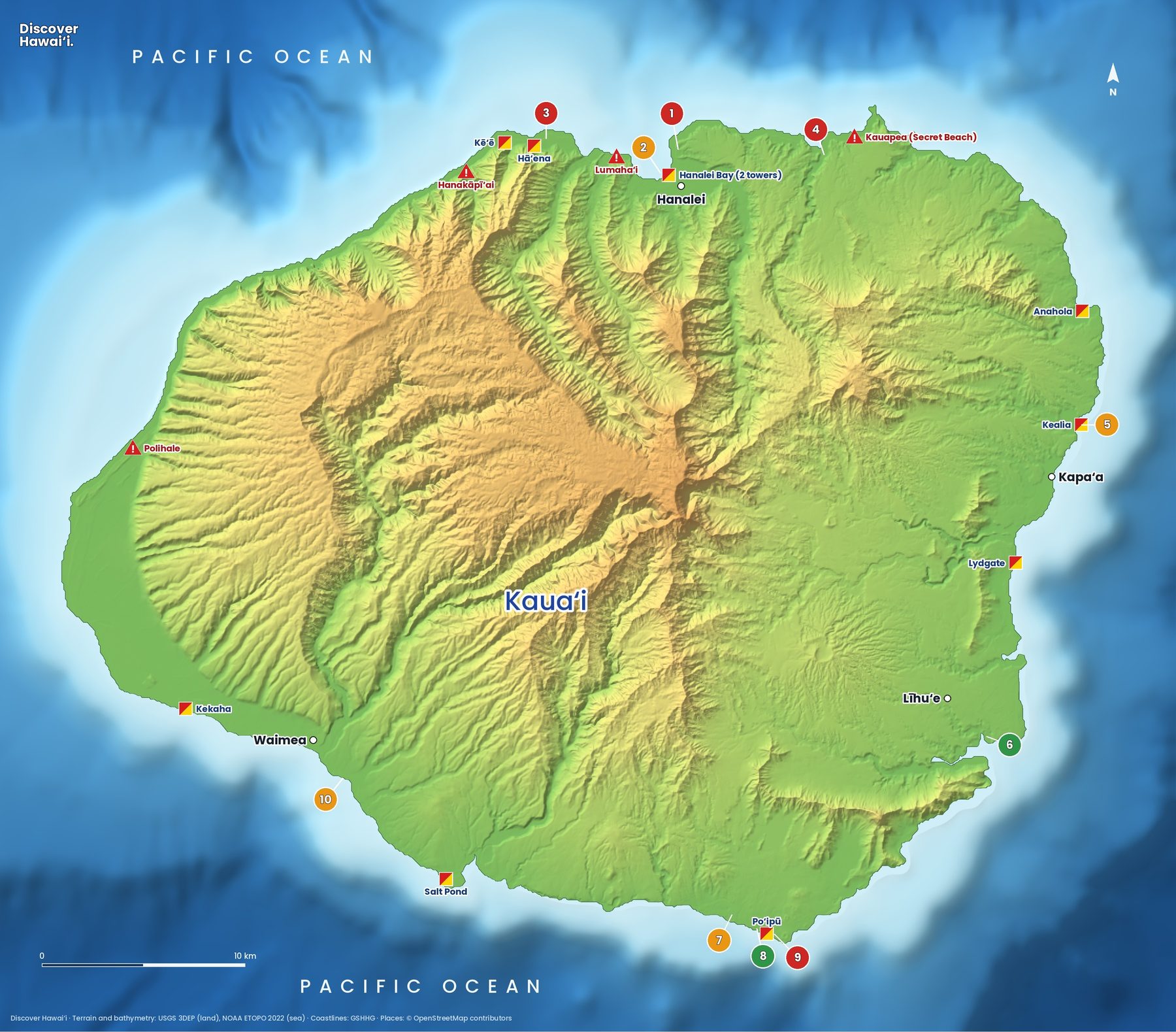
Winter. From around October to April, north swells reach the bay, and the outer reefs produce big, powerful waves for experienced surfers. Strong rip currents and heavy shore break make swimming dangerous on those days, even when the beach looks inviting. Watch from the sand, swim only where there is a staffed lifeguard tower and the lifeguards say it is safe, and stay out of the river mouth after heavy rain, when the water is brown and can carry bacteria.
See our guides to where to surf in Hawaiʻi and Hawaii ocean safety, and the Kauaʻi snorkelling and diving map for calmer spots.
A day in Hanalei, season by season
The north shore is the wettest coast on Kauaʻi, and the weather here changes by the hour. Showers often pass quickly and leave rainbows over the bay, but a heavy storm can flood the Hanalei River and close the highway at the bridge. In April 2018 record rain caused floods and landslides that cut off Hāʻena, and the road and parks west of Hanalei did not fully reopen until June 2019. If a flood warning is issued, do not try to drive through water on the road.
A good summer day might look like this: the refuge viewpoint when it opens, a swim near the pier mid-morning while the sea is glassy, lunch in town, then an afternoon paddle up the slow, green Hanalei River on a rented kayak or board. Finish on the pier at sunset, when families and fishermen gather and the mountains turn gold.
In winter, swap the swim for watching the surf from the beach park, and go early for parking. Whatever the month, keep valuables out of sight in the car, and take your rubbish with you: the bins fill quickly on busy days.
Hanalei town and what to combine
Hanalei town is small and walkable: surf shops, galleries, food trucks, shave ice and a handful of restaurants along the main road. The Waiʻoli Mission House tells part of the north shore's history, and ukulele concerts are held at the community centre. Parking is tight, so arrive early and use the beach car parks rather than residential streets.
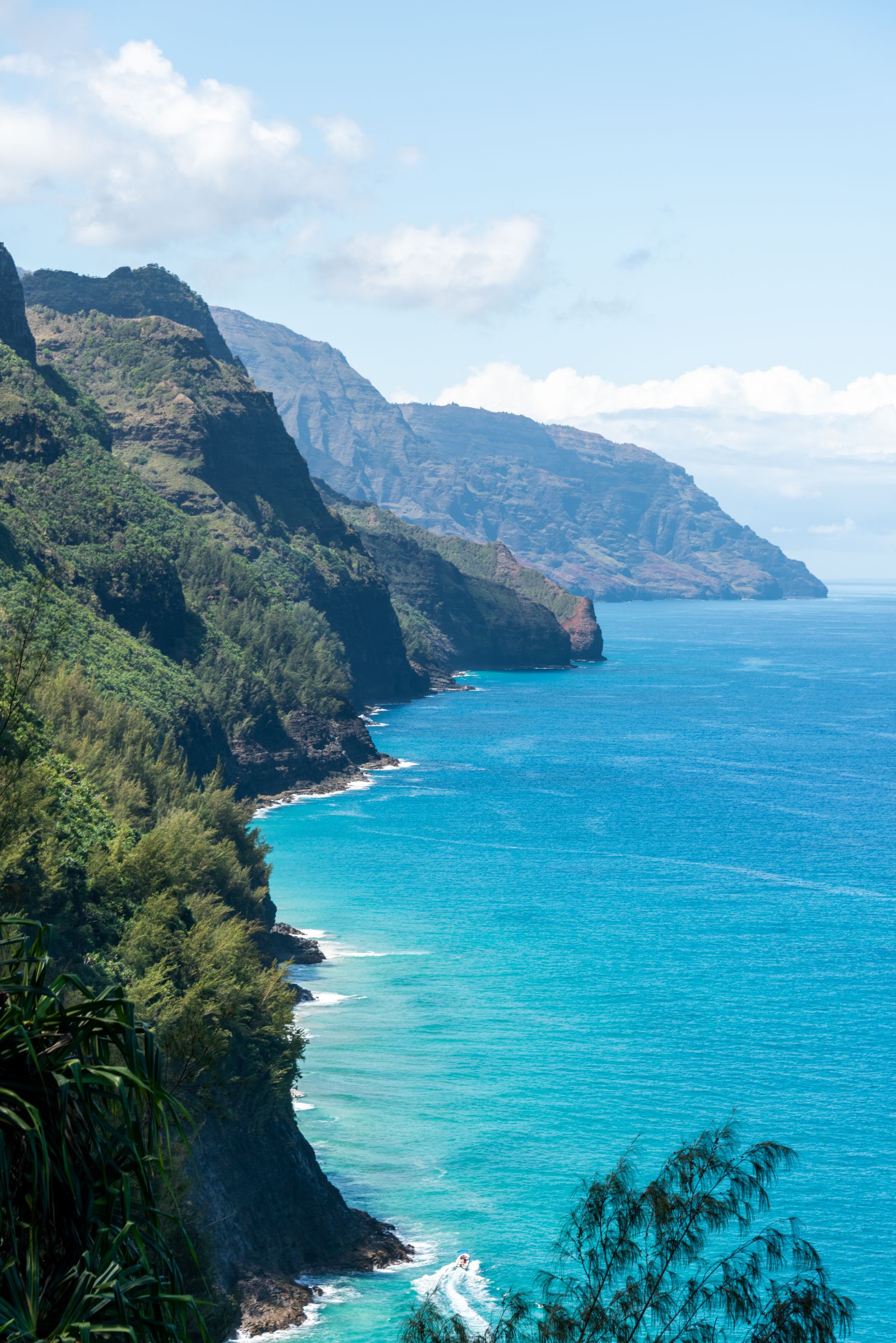
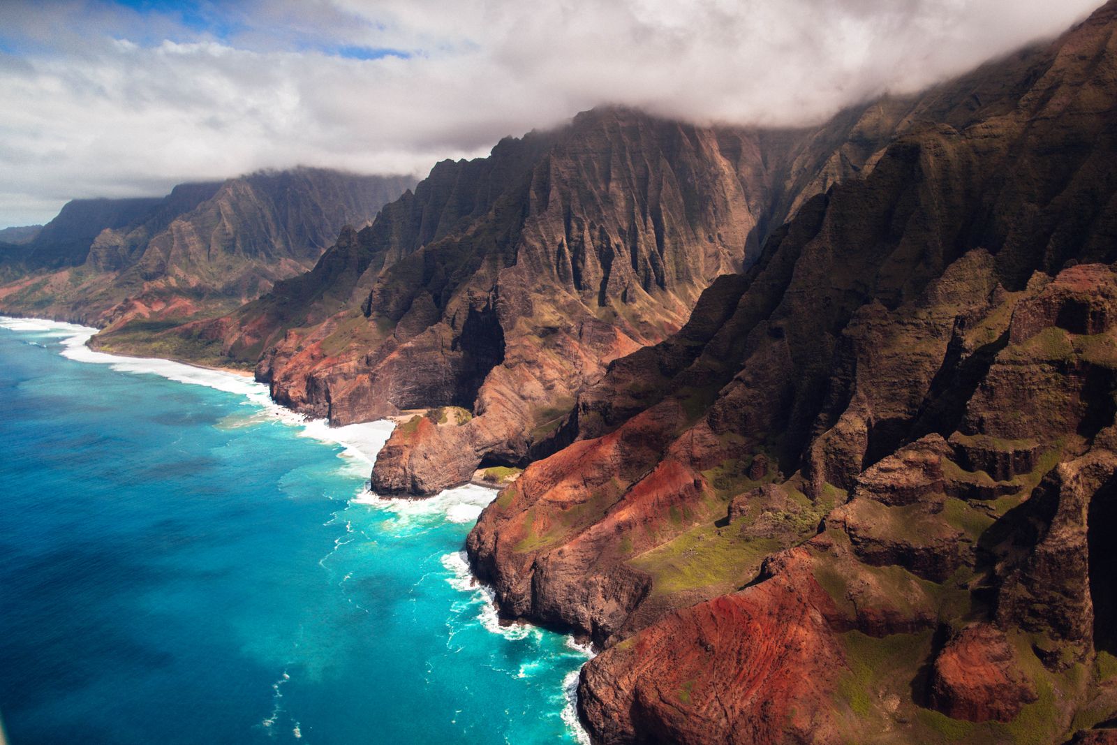
West of town the road leads to Hāʻena and the start of the Kalalau Trail, which needs a reservation for out-of-state visitors. Combine Hanalei with a summer boat trip or hike to see the Nā Pali Coast, and see things to do on Kauaʻi for the rest of the island. Our guide to visiting Hawaiʻi respectfully explains why small courtesies matter so much in a place like this.
Quick answers
Can you swim at Hanalei Bay?
Yes, in summer, roughly May to September, when the bay is usually calm. In winter north swells bring big surf, strong rip currents and shore break. Swim near a staffed lifeguard tower and follow the lifeguards' advice.
Where is the best view of the Hanalei taro fields?
The Hanalei National Wildlife Refuge viewpoint near Princeville, opened in 2024, has two lookouts and parking. Its listed hours are Tuesday to Saturday, 8.30 a.m. to 4.30 p.m. The refuge and farms themselves are closed to visitors.
How do the one-lane bridges on Kauaʻi work?
Cars cross in groups. Let the line from the other side finish, then your side goes, usually a handful of cars at a time. Never stop on a bridge, and give a shaka to say thanks.
When was Hanalei Pier built?
A wooden pier stood here before 1892. It was lengthened in 1912 and given a concrete deck in 1922, and it was listed on the National Register of Historic Places in 1979.
Is Hanalei good for surfing?
Yes, for all levels in different seasons. Small summer waves near the pier suit lessons, while winter swells on the outer reefs are for experienced surfers only.
Facts checked October 2026. Reservations, fees, opening hours and trail or road closures change often in Hawaii, so confirm with the official source before you go.