There is no road along Kauaʻi's Nā Pali Coast, so every view is earned by sea, by air or on foot. Here is how each option works, when to go, and what is open after the 2026 hurricane season.
After the storm
On the night of 7 September 2026, Hurricane Lowell passed close to Kauaʻi. Lower Limahuli, at the start of the Nā Pali Coast, recorded almost 16 inches (about 400 mm) of rain, the most on the island. By morning the north shore highway was blocked, most of Kauaʻi had lost power, and the west side harbour at Port Allen, the base for many Nā Pali boat tours, had been wrecked.
The cliffs themselves have stood through far worse. But the way visitors reach them changed for a while. Hāʻena State Park, the gateway to the Kalalau Trail, reopened for day hikers on 14 October 2026, while overnight camping and the trail beyond the 2-mile point stayed closed. Everything in this guide is as of October 2026: check the Division of State Parks notices before you go.
Why Nā Pali is special
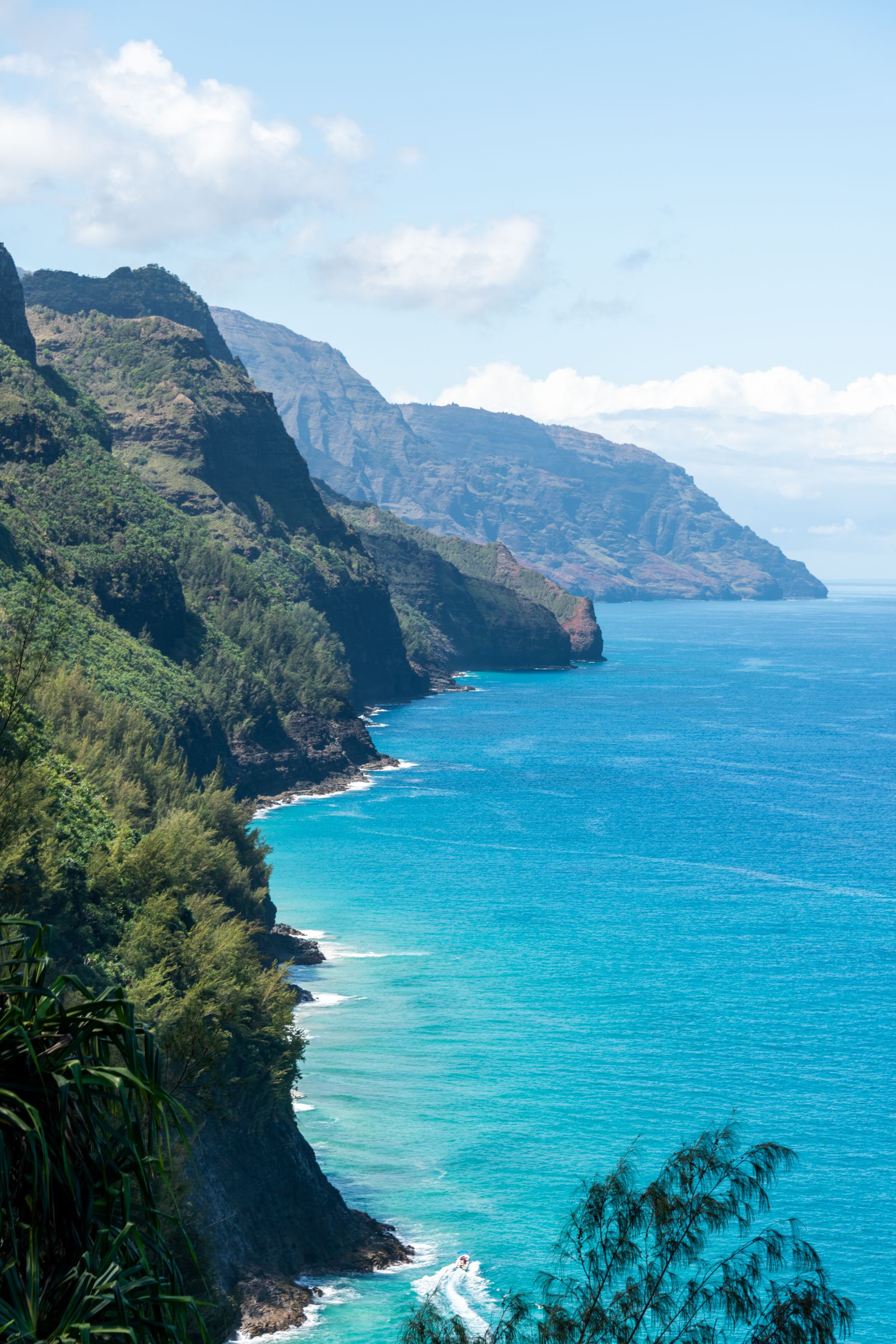
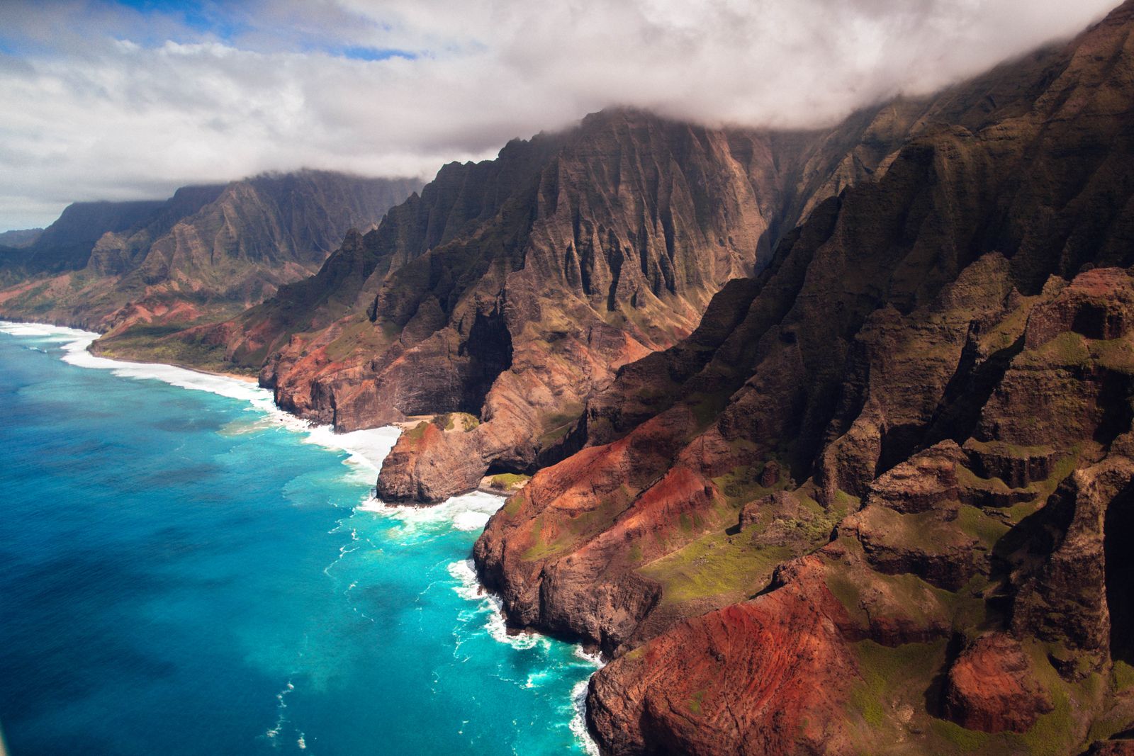
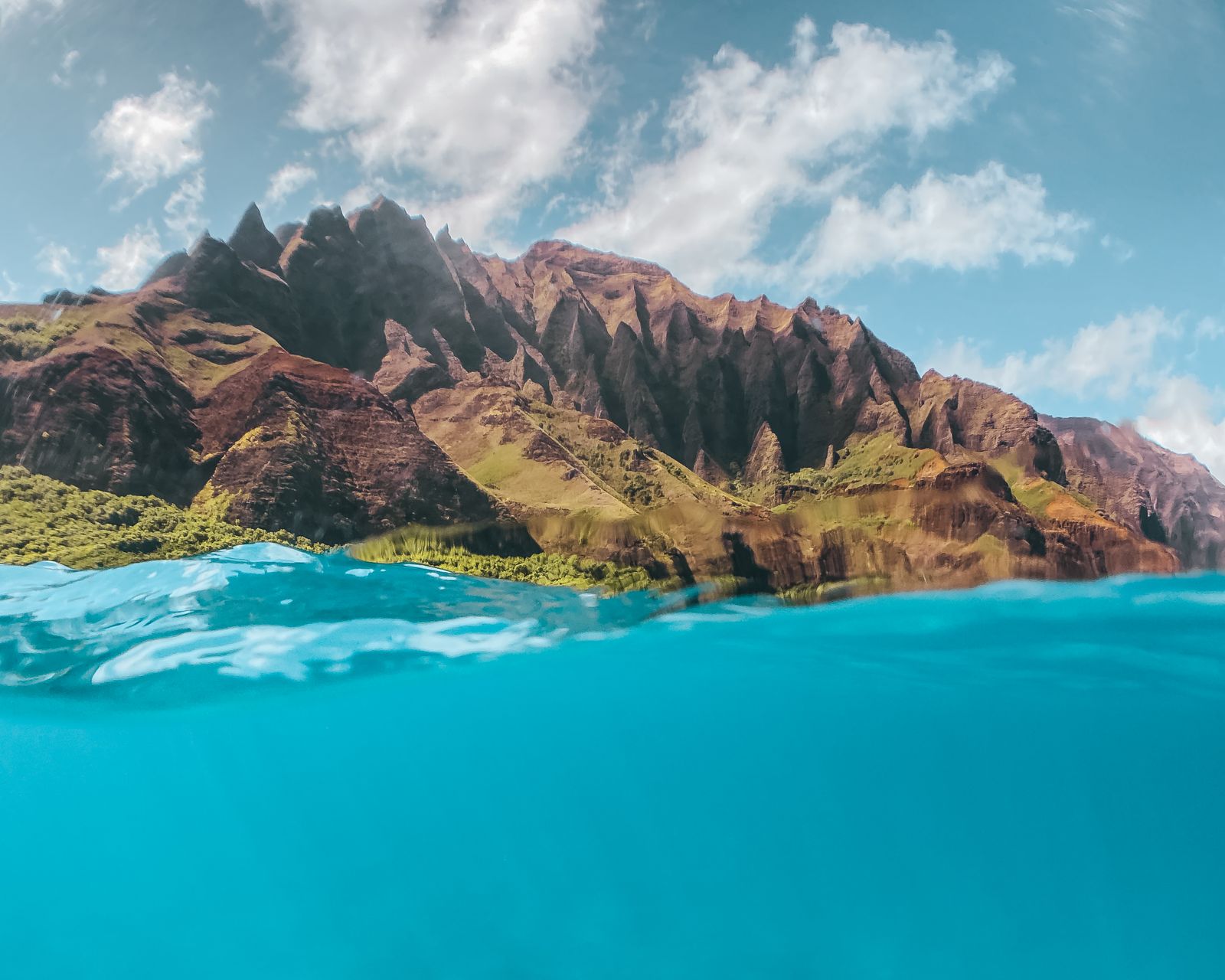
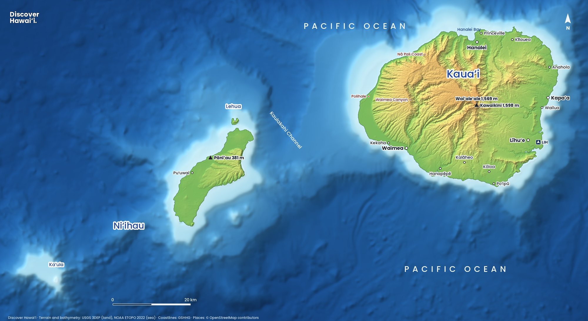
Nā Pali means "the cliffs". For roughly 27 km (17 miles) the coast is a wall of fluted green ridges, rising more than 1,000 metres (over 3,000 feet) in places, cut by narrow valleys that open onto small beaches. No road has ever been built along it. The whole coast is protected as the Nāpali Coast State Wilderness Park.
The shape comes from age and rain. Kauaʻi is the oldest of the main islands, built by a shield volcano around five million years ago, and for millions of years wind, waves and heavy rainfall have cut into its flanks. Streams carved the deep valleys; the sea undercut the ridges between them, leaving the knife-edged spires and sheer faces you see today. The same forces are still at work, which is why rockfall and landslides are a real hazard along the trail and under the cliffs.
It is not an empty wilderness in Hawaiian terms. Families once lived in the valley bottoms, growing taro on stone-walled terraces that can still be found in Kalalau and other valleys, and fishing from beaches such as Nuʻalolo Kai. Treat every wall and platform you see as a cultural site, not a ruin to climb.
Five ways to see Nā Pali
| Option | What you see | Season | Status, Oct 2026 |
|---|---|---|---|
| Boat tour | Sea caves, cliffs, dolphins, snorkel stop | Year-round; calmer May to Sept | Disrupted; check operators |
| Helicopter | Whole coast plus Waimea Canyon and the interior | Year-round | Confirm with operator; book early in your trip |
| Kayak | The full coast at sea level | 15 May to 7 Sept only | Out of season |
| Kalalau Trail | First 2 miles to Hanakāpīʻai | Year-round, weather permitting | Open for day use |
| Kalalau Lookout | Kalalau Valley from 1,200 m (4,000 ft) | Year-round | Closed with Kōkeʻe Road |
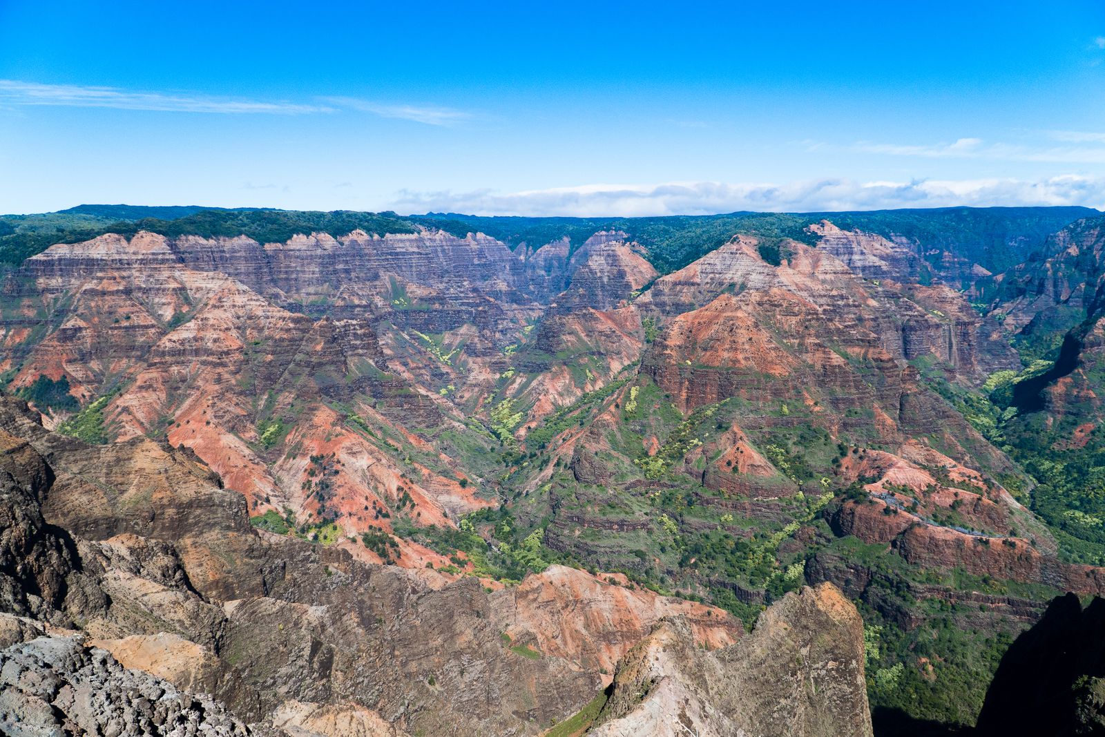
If you only do one, the choice is usually between a boat and a helicopter. A boat lets you feel the scale of the cliffs from below and, on calm days, slip into sea caves. A helicopter shows you what no boat can: the hanging valleys, waterfalls and the canyon country inland.
By boat
Most Nā Pali boat tours leave from the south and west of the island, mainly Port Allen, and sail up the coast; a few seasonal tours run from Hanalei in summer. Catamarans are larger and steadier. Motorised rafts are faster and can enter caves, but they are rough, and in winter swell they are not for anyone with back problems, motion sickness or young children.
Hurricane Lowell left the Port Allen Small Boat Harbor badly damaged, and in October 2026 the state said full repairs could take up to five years and around 19 million dollars. Some operators lost boats; others work from the main Port Allen harbour or have changed their schedules. Book directly with a company, confirm where it now departs, and read the cancellation terms.
Most catamaran trips last four to six hours and include a snorkel stop when the sea allows, often at Nuʻalolo Kai, where permitted raft tours may land. Sunset and afternoon sightseeing cruises skip the snorkelling but catch the cliffs in warm evening light. Spinner dolphins are common, sea turtles likely, and in winter you may see humpbacks. Bring a light jacket, a dry bag and seasickness tablets taken before you board, not once you feel ill.
Only licensed operators may run tours here. Commercial drop-offs at Kalalau or Miloliʻi are not legal, so avoid anyone offering to land you on a beach.
By air and by kayak
Helicopter. Tours fly from Līhuʻe year-round and are not affected by ocean swell. Clouds often build over the interior by late morning, so take the first flight of the day, and book early in your stay so you have spare days if weather cancels it.
Kayak. Paddling the full coast is allowed only from 15 May to 7 September; outside that window sea conditions make it unsafe. Guided trips run with permitted outfitters, usually from Hāʻena to Polihale with the prevailing wind and current. Landing is only allowed at Kalalau (with a camping permit) and Miloliʻi; all other beaches, including Hanakāpīʻai, Honopū and Nuʻalolo Kai, are off-limits to kayak landings. This is a serious open-ocean day of around 27 km, not a casual paddle.
On foot and from the lookouts
The Kalalau Trail starts at Kēʻē Beach in Hāʻena State Park. Day hikers can walk the first 2 miles (3.2 km) to Hanakāpīʻai Beach, or continue inland to Hanakāpīʻai Falls, with a Hāʻena entry or parking reservation. Out-of-state visitors book at gohaena.com up to 30 days in advance; Hawaiʻi residents with ID enter free. Going past Hanakāpīʻai needs a camping permit, and that section was closed in October 2026.
From above, the classic view is at the end of the road through Kōkeʻe State Park: the Kalalau Lookout and Puʻu o Kila Lookout, at around 1,200 metres (4,000 feet), look straight down into Kalalau Valley. After Lowell, Kōkeʻe Road was closed by fallen trees and remained closed in late October 2026; only the Waimea Canyon Lookout lower down had reopened. See our Waimea Canyon guide for the drive.
When to go and how to stay safe
Summer, roughly May to September, brings calm seas on the north and west coasts: the best time for boats, kayaks and the beaches. From October, big north swells start to arrive. Catamarans still run, but sea caves and snorkel stops may be skipped, and early departures are the calmest. Winter is also whale season, with humpbacks often seen on boat tours.
- Do not swim at Hanakāpīʻai. It has no reef, strong rips and a long record of drownings.
- Respect closures. After a hurricane, a closed trail can hide unstable slopes and fallen trees.
- Watch the weather. Heavy rain causes flash floods on streams within minutes.
- Stay legal. Use permitted operators and never camp without a permit.
Respect matters here as much as safety. Stay out of the valley interiors unless you hold a permit, leave stone walls and terraces untouched, carry out all rubbish and never fly a drone over people or wildlife. The coast is home to seabirds, monk seals and dolphins that should be watched from a distance.
Our ocean safety guide and hurricane season guide explain the risks in more detail.
Nearby: the north shore
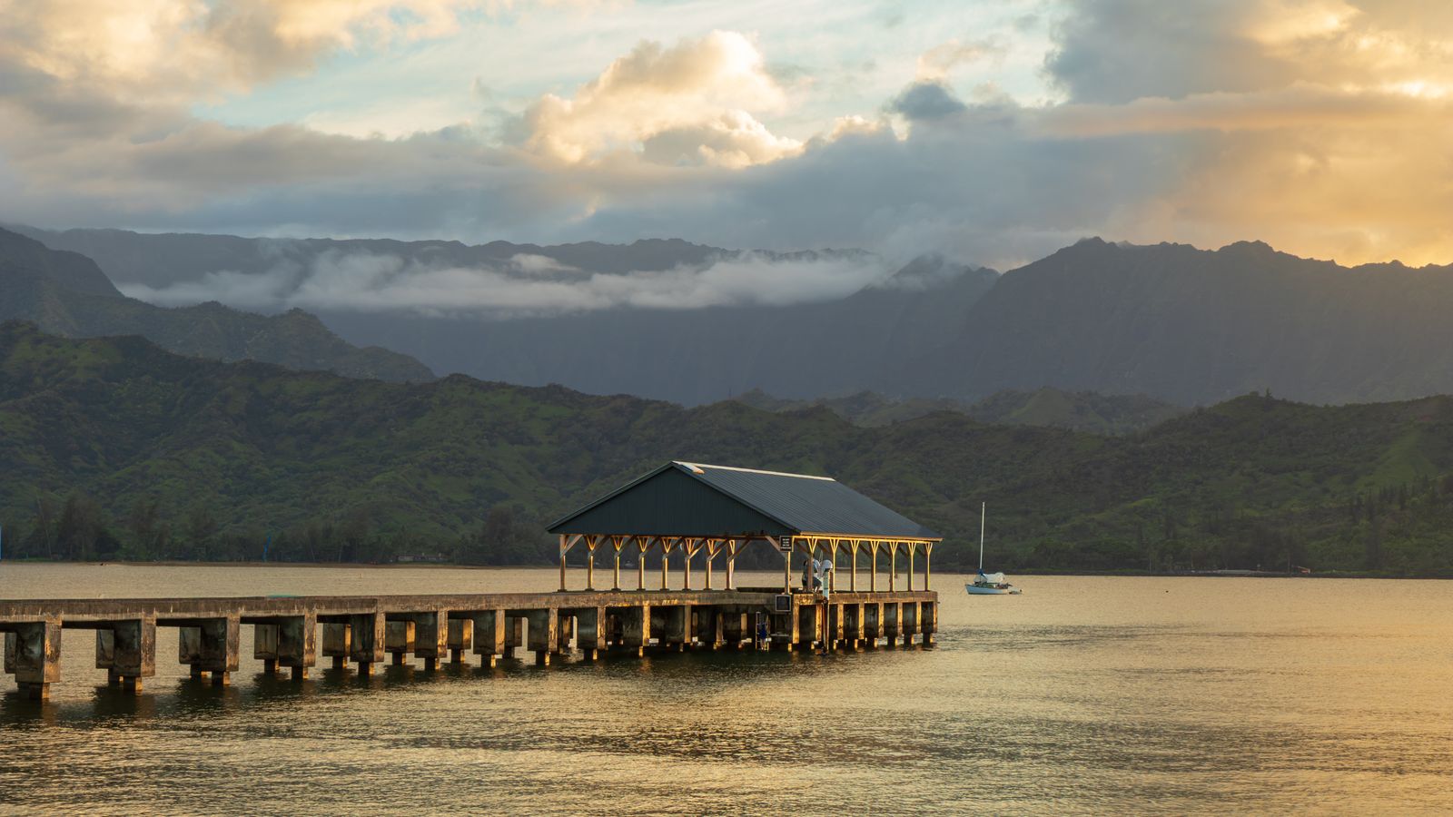
The road to Hāʻena runs through Hanalei, with its pier, taro fields and one-lane bridges, so combine a Nā Pali day with time in town. Hāʻena and Wainiha were hit hard by the storm, and many local businesses lost weeks of income: buying lunch, coffee or a tour locally helps. For a wider plan of the island, see things to do on Kauaʻi and our Kauaʻi itinerary.
Quick answers
What is the best way to see the Nā Pali Coast?
For most people it is a catamaran tour or a helicopter flight. A boat shows the cliffs and sea caves from below; a helicopter adds the valleys, waterfalls and Waimea Canyon. Fit hikers can also walk the first 2 miles of the Kalalau Trail with a Hāʻena reservation.
Do you need a reservation to see the Nā Pali Coast?
Not for boat or helicopter tours, beyond booking the tour. To hike the Kalalau Trail from Hāʻena, out-of-state visitors need a Hāʻena State Park entry or parking reservation from gohaena.com, available up to 30 days ahead.
Can you kayak the Nā Pali Coast in winter?
No. Paddling the coast is allowed only from 15 May to 7 September because winter swells make it unsafe. Guided full-coast trips run in that summer window.
Are Nā Pali boat tours running after Hurricane Lowell?
Some are, but the September 2026 storm badly damaged the Port Allen Small Boat Harbor and several operators lost boats or changed departure points. Check directly with the company and confirm the departure harbour before you book.
Is the Kalalau Lookout open?
As of late October 2026, no. Kōkeʻe Road, which leads to the Kalalau and Puʻu o Kila lookouts, was closed after Hurricane Lowell. Only the Waimea Canyon Lookout had reopened. Check State Parks notices for updates.
Facts checked October 2026. Reservations, fees, opening hours and trail or road closures change often in Hawaii, so confirm with the official source before you go.
- Hawaiʻi DLNR Division of State Parks: important park notices
- DLNR: Boating Nāpali (kayak season and landing rules)
- DLNR: Hāʻena and Nāpali Coast access information
- Honolulu Star-Advertiser: Hāʻena State Park reopened for day hikers (14 Oct 2026)
- Civil Beat: Hurricane Lowell hit Kauaʻi hard but worst fears averted
- Civil Beat: Devastated Kauaʻi harbor may take 5 years to fix
- Beat of Hawaii: Nā Pali tours upended as two Kauaʻi harbors stay closed
- Hawaii Guide: Nā Pali Coast fall access guide