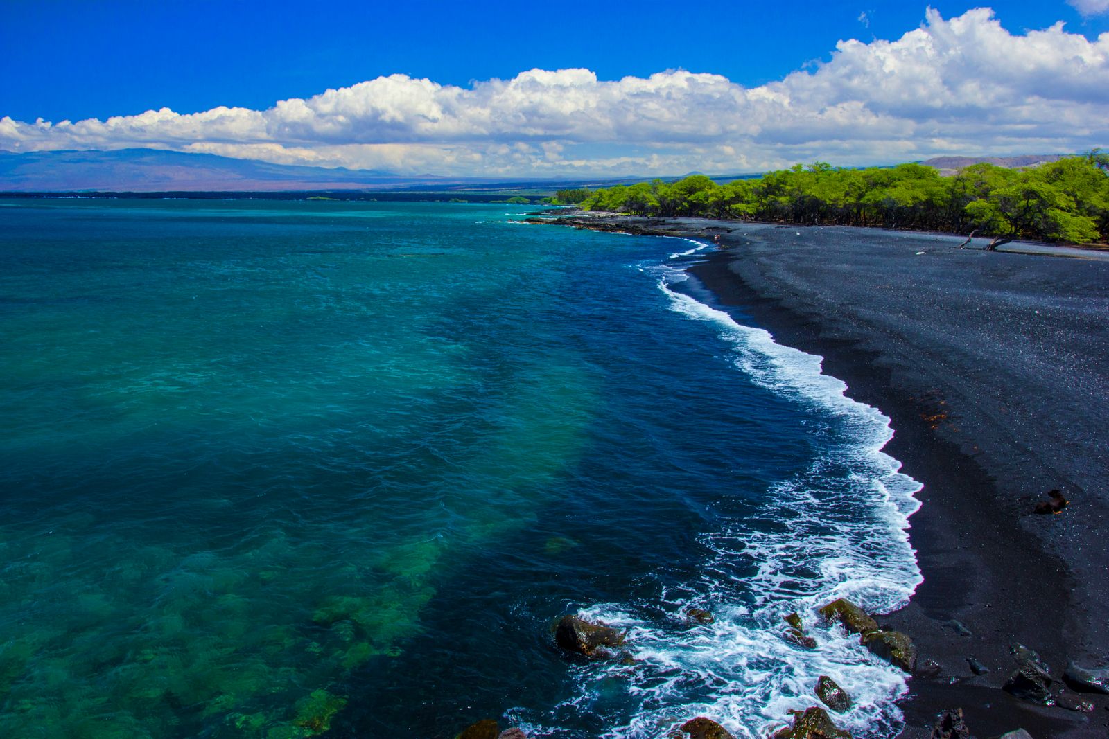
Olive-green sand in a half-collapsed volcanic cone at the windswept southern tip of Hawaiʻi. Getting there means a hot walk across Hawaiian Home Lands, and doing it the right way matters.
Green sand at the end of the world
The wind at Ka Lae never seems to stop. It flattens the grass, bends the few trees almost sideways and pushes against you as you walk east along the coast. For an hour there is nothing but pasture, cliffs and a hard blue sea. Then the ground falls away into a bowl of eroded ash, and at the bottom, where the waves rush in, the beach glints a strange olive green.
This is Papakōlea, at Mahana Bay, one of only a handful of green-sand beaches in the world. It is a geological marvel, a hard, exposed walk, and a place where how you travel makes a real difference to the land and the people who care for it.
Why the sand is green
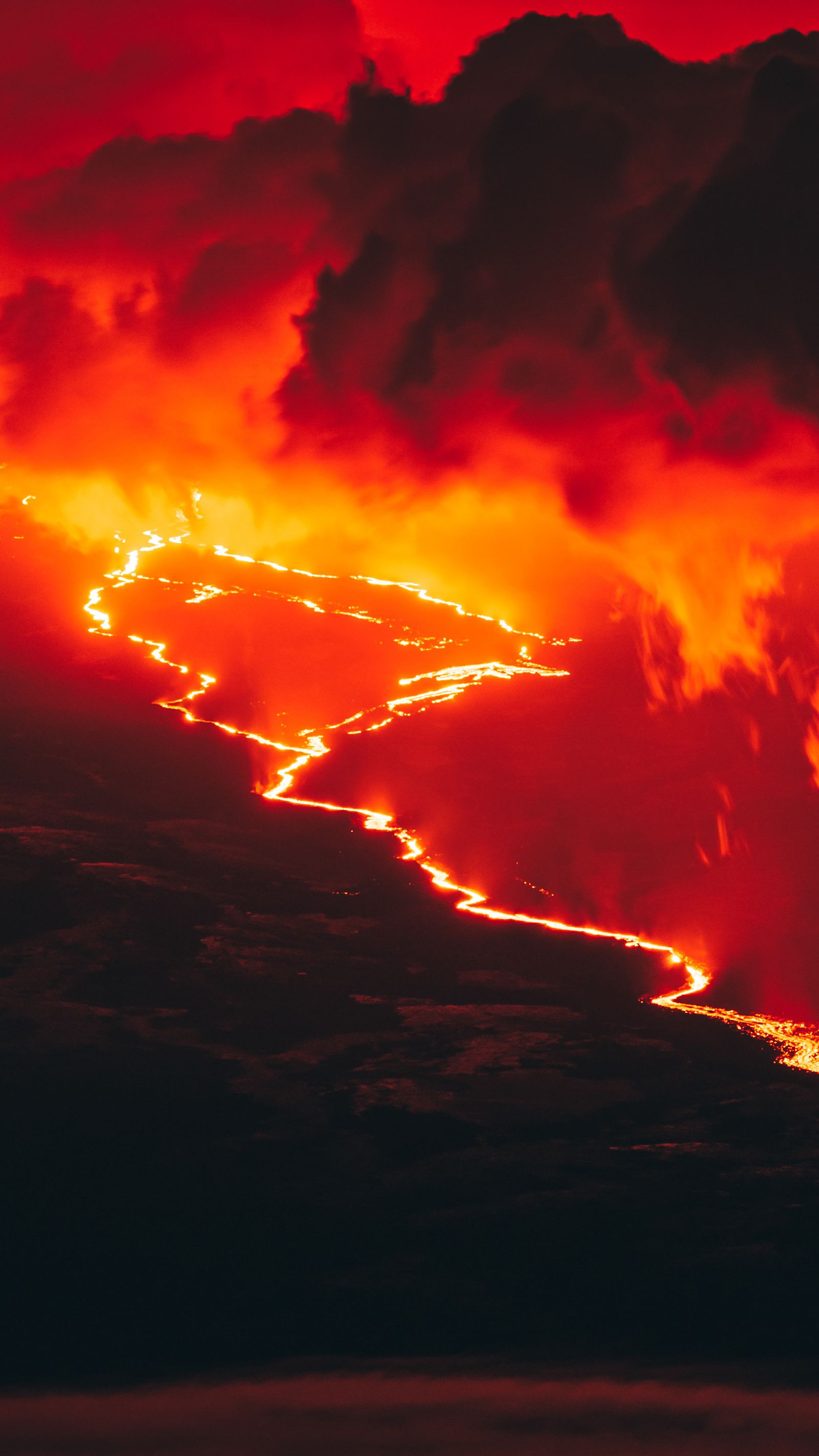
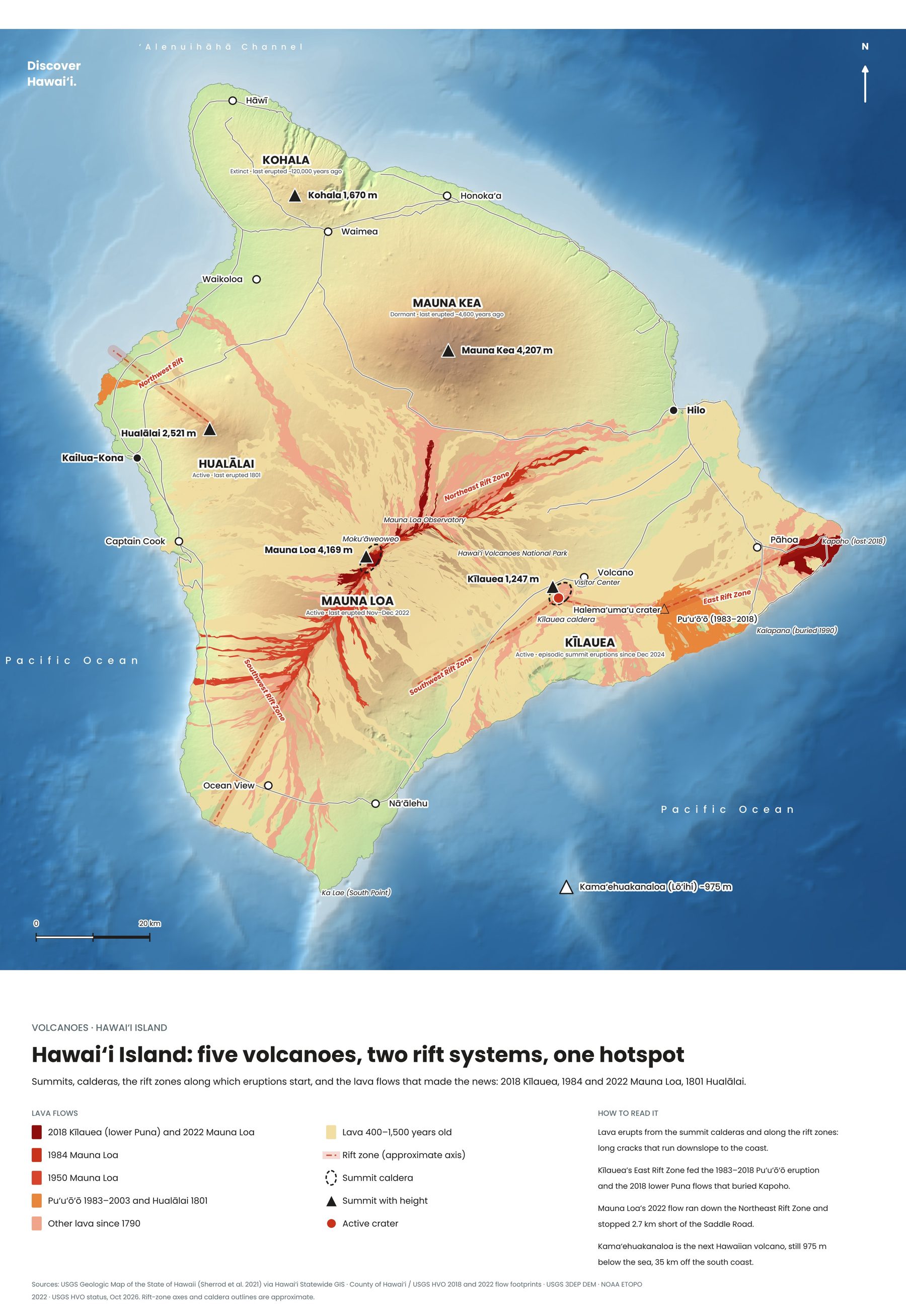
The colour comes from olivine, a green mineral common in Hawaiian lava. The beach sits inside the remains of Puʻu Mahana, a tuff ring (a cone of ash and rock) that formed on the flank of Mauna Loa more than 49,000 years ago. The sea has broken open one side of the cone and is steadily eating into its walls.
As the cone erodes, the olivine crystals tumble onto the beach. They are denser than the surrounding ash, so the waves carry the lighter material out to sea and leave the heavy green grains behind. Look closely and you will see the grains glitter like tiny pieces of bottle glass.
Every grain counts. Taking sand, rocks or other beach deposits from the shoreline is prohibited under Hawaiʻi law, and here the supply is finite. Leave it all in the bay.
The hike from South Point
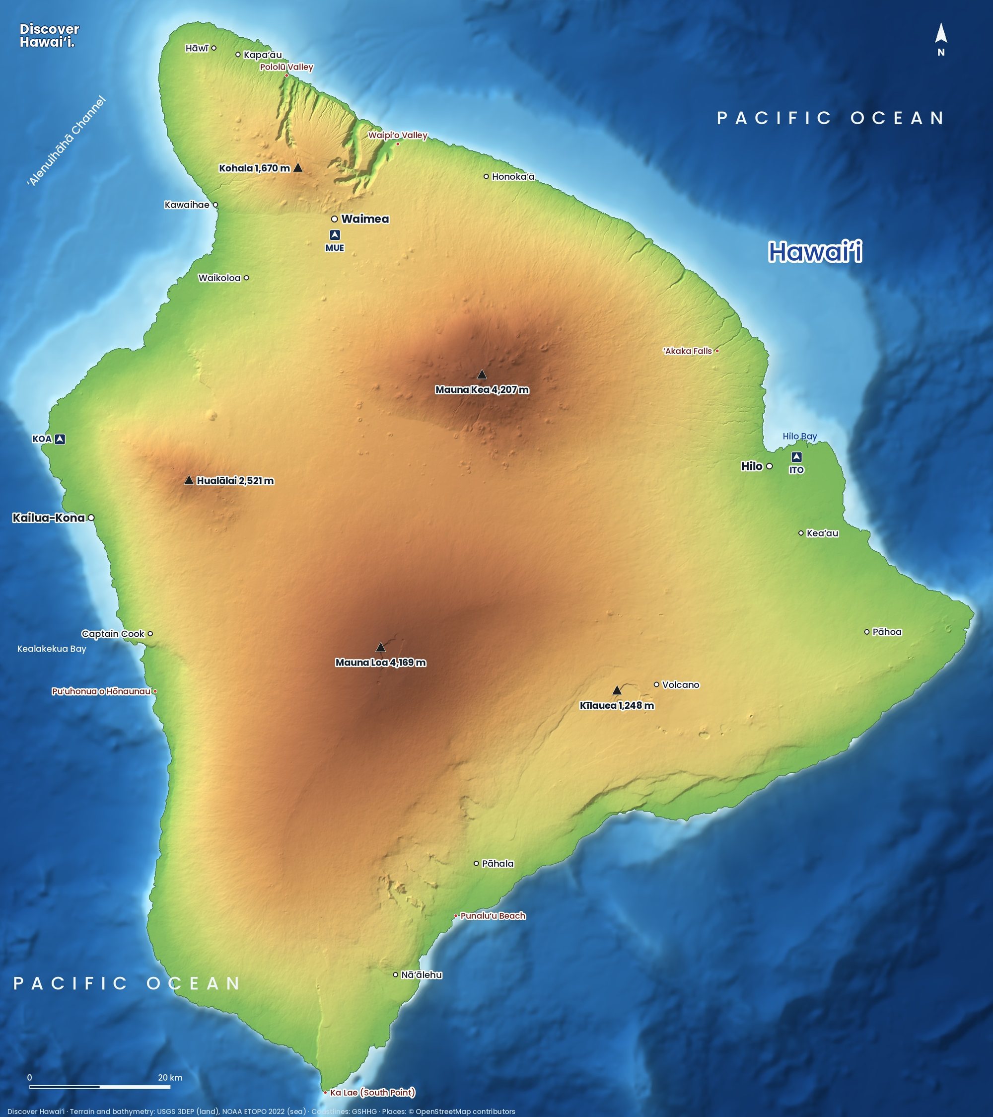
From the end of South Point Road, which leaves Highway 11 west of Nāʻālehu, follow the signs to the parking area for the green sand beach. From there it is roughly 4 kilometres (2.5 miles) each way along a network of dirt tracks above the coast, with little climbing until the end. Most people take 60 to 90 minutes each way.
- Heat and wind: there is almost no shade and no water. Carry at least two litres each, a hat and sun cream, and start early.
- The descent: the last stretch is a steep scramble down the eroded cone on loose ash. Take it slowly and use the established route.
- Footwear: wear proper shoes, not flip-flops. The tracks are rutted and can be muddy after rain.
- Signal: mobile coverage is patchy, so tell someone your plan and download an offline map.
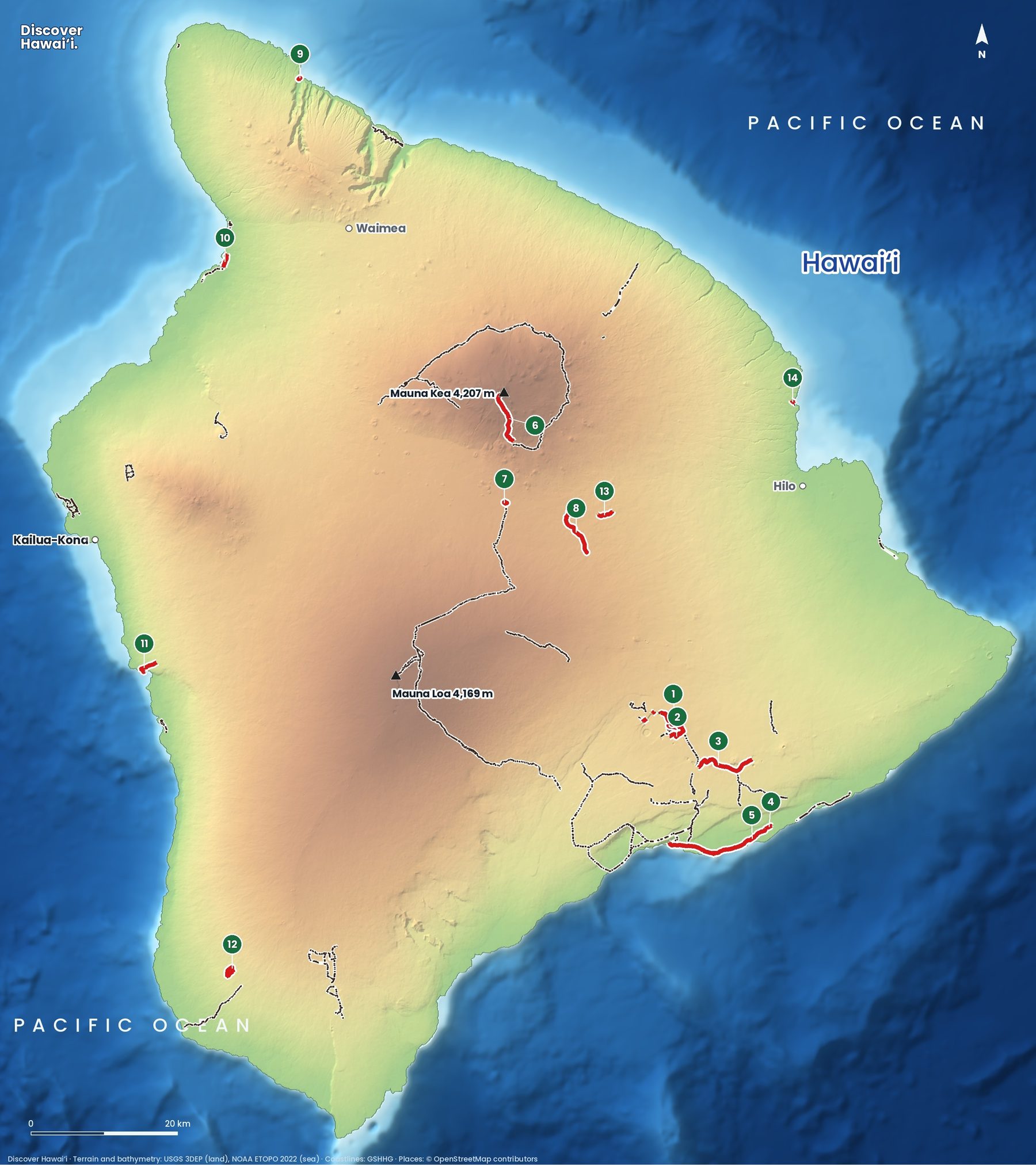
For other walks on the island, see our Big Island hiking trails map.
The tracks split and rejoin many times, and some lead to dead ends at the cliffs. As a rule, keep the sea on your right on the way out and stay on the most-used track heading east. The landmark to aim for is the low, eroded hill of Puʻu Mahana; once you see its rim, the bay is just below. On the way back, the wind is often in your face and the walk feels longer, so save some water and energy for it.
Getting there and when to go
Papakōlea is a long way from the resorts. From Kailua-Kona, allow about 2 hours to the South Point parking area; from Volcano village it is a little over an hour. South Point Road itself is narrow, partly single-track in places and runs for many kilometres past wind turbines and cattle pasture, so drive slowly and pull over to let others pass.
- Go early: the trade winds usually strengthen through the day, and the midday sun on the exposed track is fierce. Starting by 8 am makes the walk far more pleasant.
- Avoid heavy rain: the ash tracks turn to slippery mud, and the scramble into the bay becomes dangerous.
- Weekdays are quieter: holiday weekends bring crowds and more pressure on the land.
- Fuel and food: buy supplies in Nāʻālehu or Ocean View. There is nothing at the trailhead.
Pair it with the drive east along the Kaʻū coast, or with a day in Hawaiʻi Volcanoes National Park.
Hawaiian Home Lands and the truck rides
The land between South Point and Papakōlea belongs to the Department of Hawaiian Home Lands (DHHL), a trust created by Congress in 1921 to return Native Hawaiians to the land. It is not a state or national park, and you are a guest here.
For years, some people have offered paid rides to the beach in pick-up trucks, and many visitors have driven their own hire cars down the tracks. Vehicle access to the beach is not permitted, and the land is legally reached on foot. The traffic has carved a maze of deep ruts, in places more than 2.4 metres (8 ft) deep, stripping the grassland and letting the wind blow the soil away. DHHL has said its priority is to regain control of the area and manage vehicle access, and it has long planned a proper footpath, sanitation and parking.
- Walk, do not ride: unpermitted rides add to the damage, and hire car contracts typically forbid off-road driving.
- Stay on the main track: do not create new paths around muddy sections.
- Pack out everything: there are no bins or toilets at the beach.
- Respect residents: Kaʻū is a rural, largely Hawaiian community. Be courteous, and never block gates or driveways.
Our guide to visiting Hawaii respectfully explains why places like this matter so much to local families.
Ocean safety at Papakōlea
Mahana Bay faces the open southern ocean with no reef to protect it. There is no lifeguard, help is a long way off, and the surf can surge right up the beach, especially during summer south swells. Rip currents form as waves pull back out of the bay.
On calm days a paddle at the edge is lovely, but strong swimmers have been caught out here. If the waves are breaking on the sand, stay out. Keep children close and well up the beach, and never turn your back on the sea. Our Hawaii ocean safety guide explains how to read conditions.
Sunburn and dehydration cause far more problems here than the sea. Rest in the little shade the cliffs offer, drink before you feel thirsty, and turn back early if anyone in your group feels dizzy or sick.
Ka Lae: where Hawaiian history may have begun
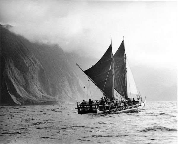
Before or after the beach, walk to Ka Lae itself, the southernmost point of the United States. The area is protected as the South Point Complex National Historic Landmark and is believed to be one of the earliest places settled in the islands, perhaps the landing place of the first voyagers (see how Polynesians discovered Hawaii).
In 1956 a Bishop Museum team excavated a sand dune here and recovered more than 14,000 artefacts, including the tools and fish hooks of people who fished this coast for over a thousand years. Look for Kalalea Heiau, a fishing shrine dedicated to Kūʻula, god of fishing, where offerings are still left today, and for holes drilled through the rock ledges, where canoes were once tied and allowed to drift out to the deep fishing grounds.
Visitors also jump from the cliffs into the sea here. The currents off Ka Lae are notoriously strong, and we do not recommend it. Treat the heiau as a sacred site: look, but do not touch, climb or move stones. The whole story of the first settlers is told in The History of Hawaii, and Punaluʻu Black Sand Beach makes a fine second stop on the drive back east.
Quick answers
How long is the hike to Green Sand Beach?
Roughly 4 kilometres (2.5 miles) each way from the parking area near South Point, so about 8 kilometres (5 miles) return. Allow three to four hours including time on the beach.
Can you drive to Papakolea Green Sand Beach?
No. Vehicle access is not permitted on the Hawaiian Home Lands tracks, and the land is legally reached on foot. Off-road driving has badly eroded the area, and hire car contracts usually forbid it.
Why is the sand green at Papakolea?
It is made of olivine crystals eroding out of Puʻu Mahana, an old ash cone on Mauna Loa's flank. The heavy green grains stay on the beach while lighter ash washes away.
Is it safe to swim at Green Sand Beach?
Only with great care on very calm days. There is no lifeguard, no reef protection and strong surges and rip currents are common. If waves are breaking on the sand, stay out.
Can you take green sand home?
No. Hawaiʻi law prohibits taking sand from the shoreline, and the olivine at Papakōlea is a finite supply. Leave every grain in the bay.
Facts checked October 2026. Reservations, fees, opening hours and trail or road closures change often in Hawaii, so confirm with the official source before you go.