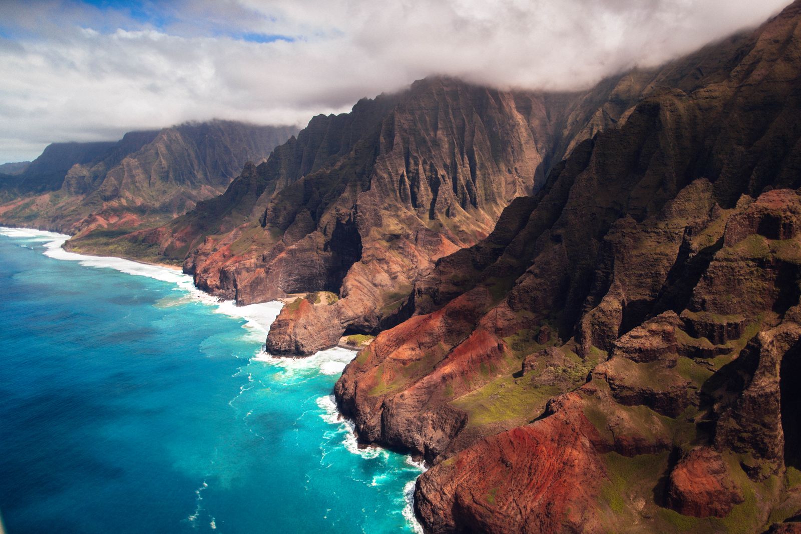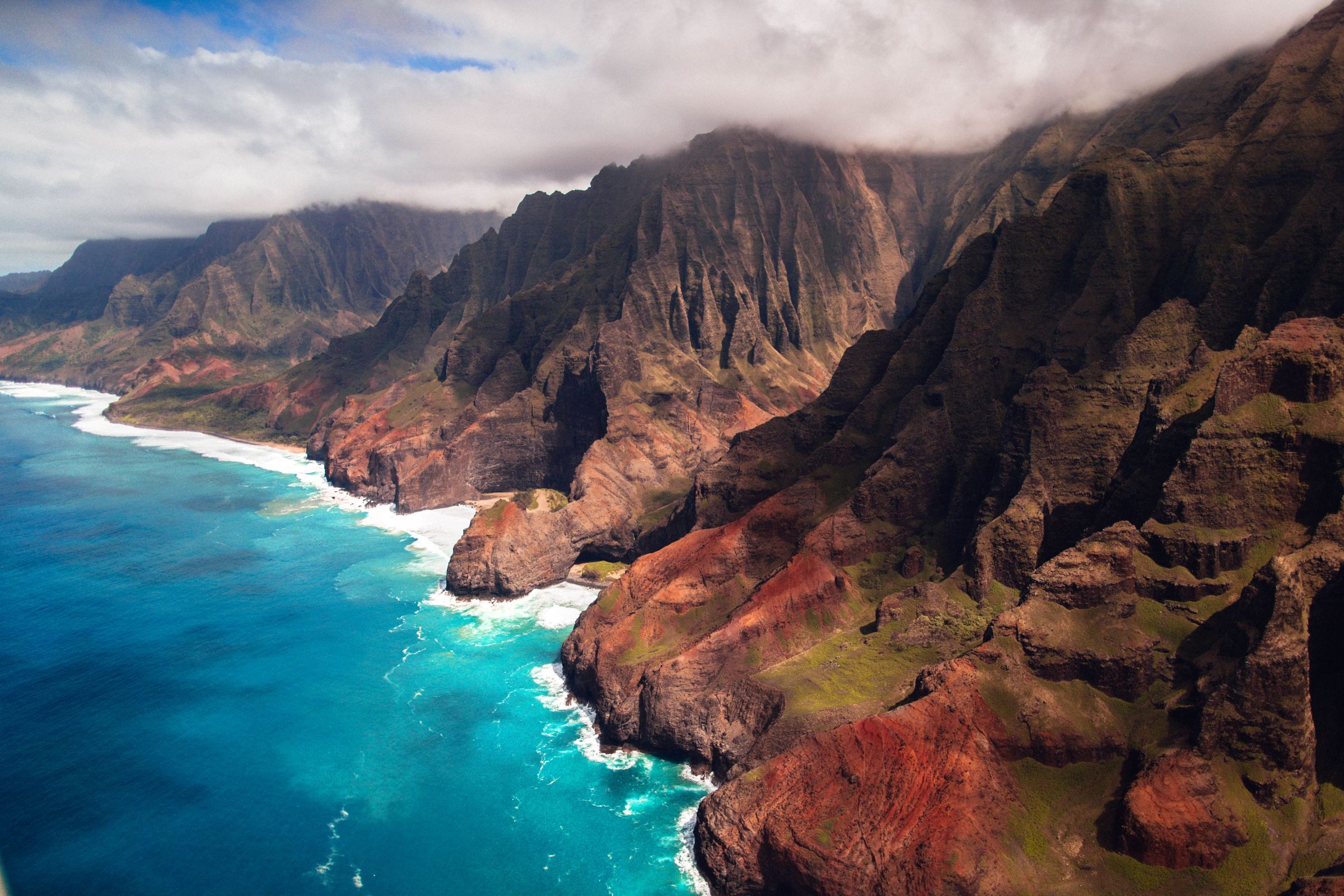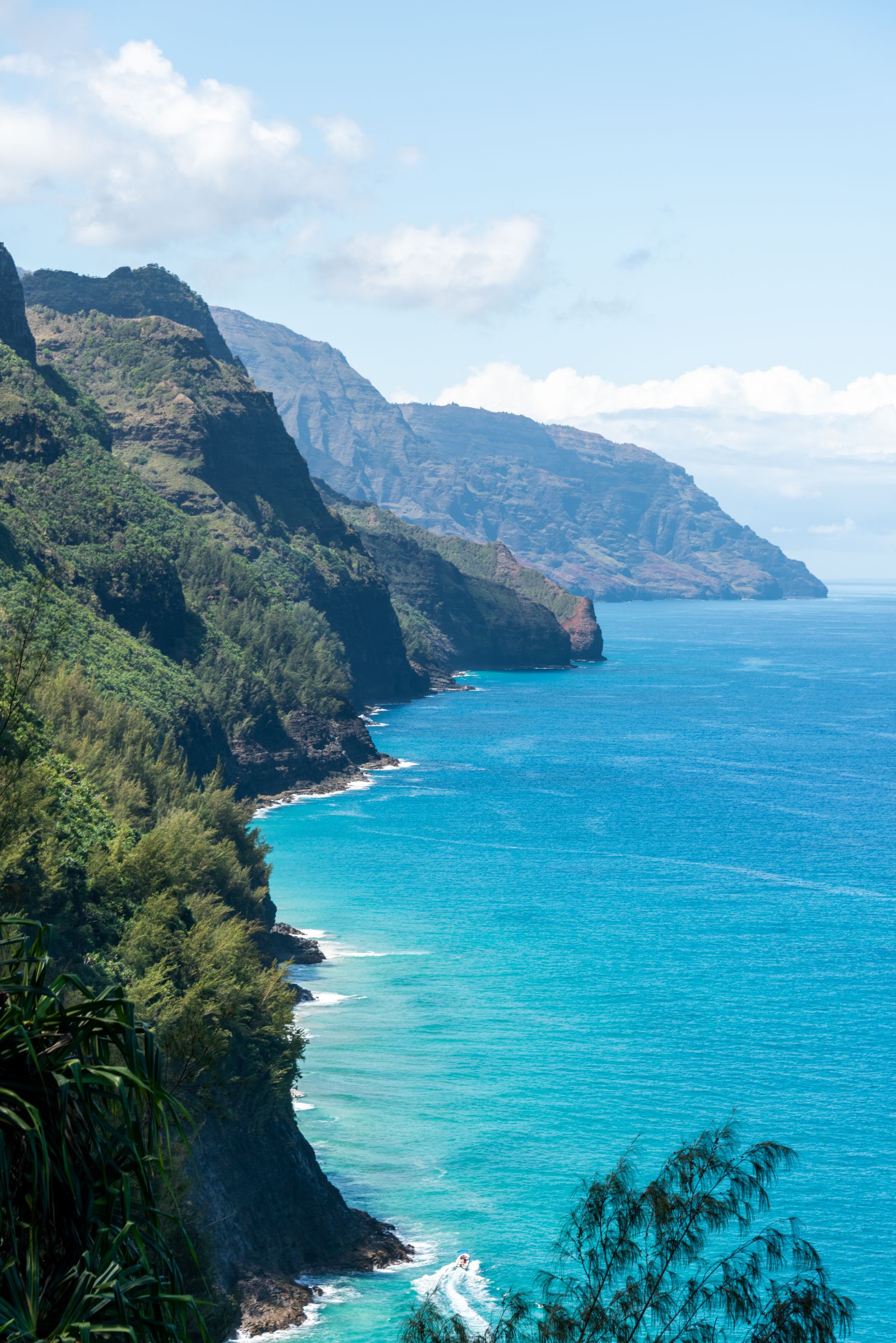
Hawaiʻi's most famous trail climbs and drops for 11 miles along the Nā Pali cliffs to a valley with no road. Most people walk only the first 2 miles, and that is plenty. Here is how to book, what to expect and how not to become a statistic.
The sign at Hanakāpīʻai
Two miles along the Kalalau Trail, where the path drops to a boulder beach at the mouth of Hanakāpīʻai Valley, a hand-painted sign stands by the stream. It warns visitors not to go near the water, and beneath the words someone has added rows of tally marks. By August 2014 there were 82 of them.
The sign has no official sponsor and the count is not a verified record. But the danger is real. A local newspaper estimated that about 30 people drowned at Hanakāpīʻai between 1970 and 2010, and the bodies of many victims were never found. The beach has no reef to break the waves, rip currents are powerful, and the nearest safe landing for anyone swept out is about 6 miles (10 km) down the coast. Look, take a photograph, and stay out of the sea.
The trail in brief
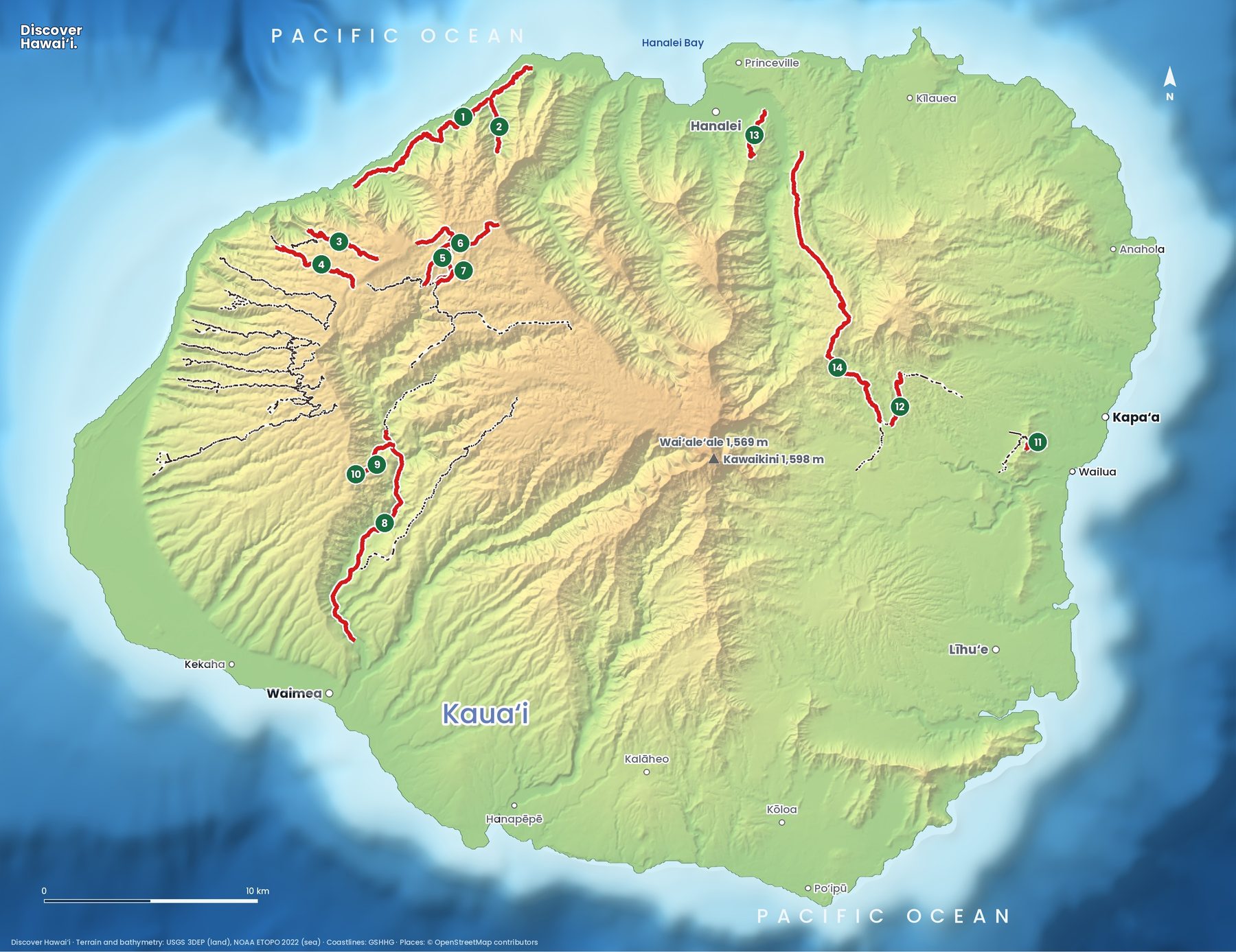
The Kalalau Trail is the only land route along the Nā Pali Coast. It starts at Kēʻē Beach at the end of the road in Hāʻena State Park and runs 11 miles (17.7 km) to Kalalau Beach, 22 miles (35 km) return. The state rates it difficult: wet gulches, steep switchbacks and exposed open ridges.
| Point | From trailhead | What you need |
|---|---|---|
| Hanakāpīʻai Beach | 2 miles (3.2 km) | Hāʻena reservation |
| Hanakāpīʻai Falls | About 4 miles (6.4 km), inland | Hāʻena reservation |
| Hanakoa Valley | 6 miles (9.7 km) | Nāpali camping permit |
| Kalalau Beach | 11 miles (17.7 km) | Nāpali camping permit |
Before you set off, notice where you are. The cliffs above Kēʻē hold Ke Ahu a Laka, one of the most revered hula sites in the islands, and Hāʻena State Park also protects old taro terraces and house sites. Hāʻena's community has worked hard to restore them and to limit visitor numbers, which is why the reservation system exists.
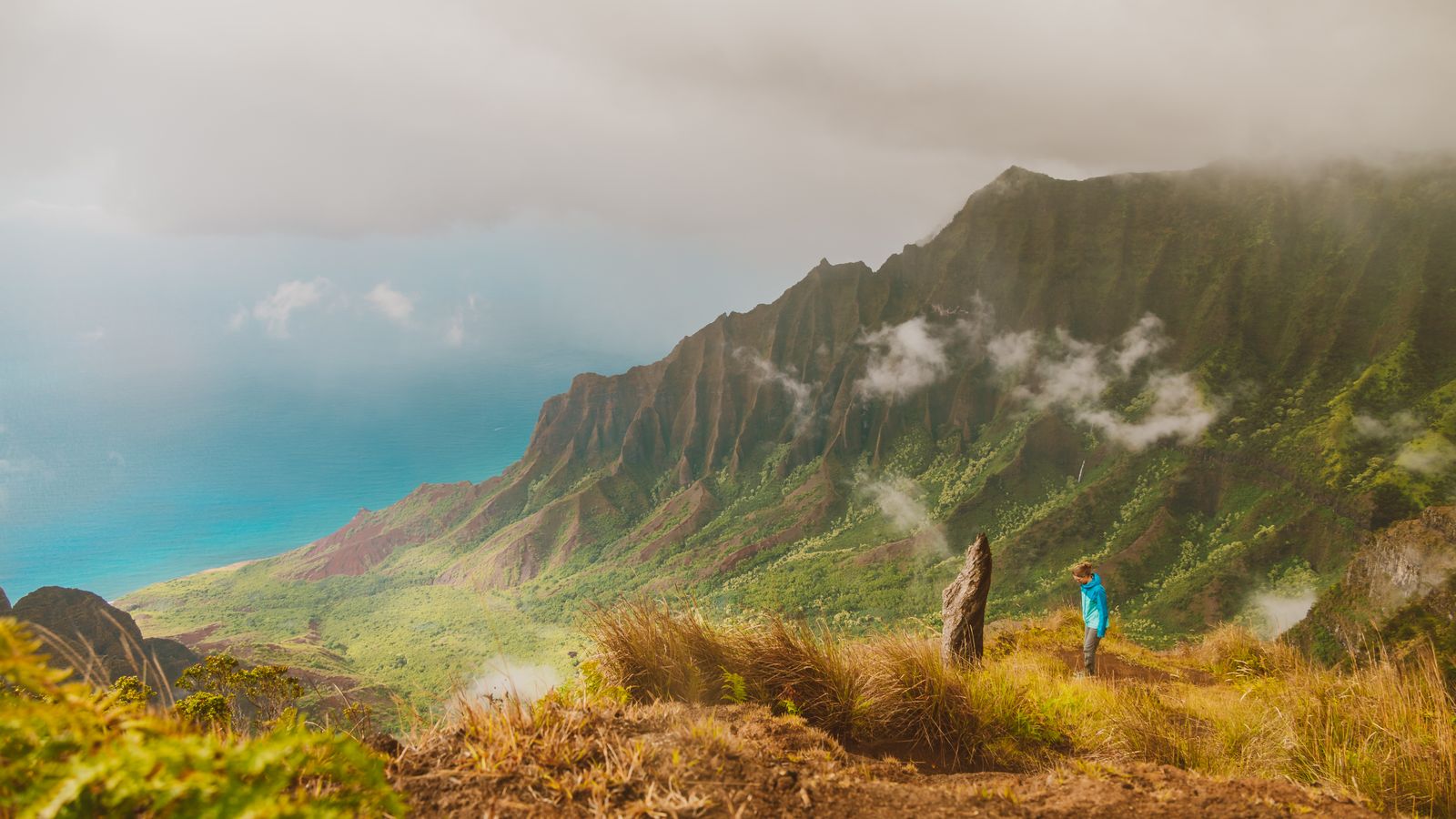
The first 2 miles climb from Kēʻē onto the cliffs, with views back to Hāʻena, then descend to Hanakāpīʻai. Beyond the stream the trail climbs about 240 metres (800 feet) out of the valley and the real wilderness begins, including the narrow, eroded stretch past Hanakoa that hikers call Crawler's Ledge.
Status as of October 2026
Hurricane Lowell passed Kauaʻi on 7 to 8 September 2026, and the state closed Hāʻena State Park for public safety while crews removed fallen and damaged trees. It reopened for day use on 14 October 2026, with the shuttle running again. Day hikers can now reach Hanakāpīʻai Beach and Hanakāpīʻai Falls.
Overnight camping, and hiking beyond the 2-mile point, remained closed until further notice. Anyone whose camping permit or day pass fell during the closure is being refunded. If you are planning the full trail for 2027, watch the Division of State Parks notices; permits cannot be used until the state reopens the wilderness section.
Booking the day hike to Hanakāpīʻai
Hāʻena State Park uses a reservation system to limit numbers on this narrow stretch of coast. Hawaiʻi residents with a state ID or driver's licence enter free without a reservation. Everyone else needs one, booked at gohaena.com.
- When: reservations open 30 days in advance and popular dates sell out.
- Cost, out-of-state visitors: 5 dollars per person entry (children 3 and under free) and 10 dollars per vehicle for parking, as reported in October 2026.
- Parking slots: a parking reservation covers only the time slots you book, so allow enough time for the falls.
- Shuttle: a north shore shuttle, run in partnership with the community nonprofit Hanalei Initiative, is the easiest option when parking is gone.
- Hours: 7 a.m. to 6:45 p.m. daily after the October 2026 reopening.
Allow about two to three hours return for the beach, and five to seven hours for the falls. The inland path to the falls follows Hanakāpīʻai Stream, crosses it several times, and is muddy and slippery after rain. Under the falls, rocks can fall from high above; admire it from a distance rather than swimming beneath it. More booking tips are in our Hawaii reservations guide.
The full trail: camping permits
When the wilderness section is open, anyone going past Hanakāpīʻai needs a Nāpali Coast State Wilderness Park camping permit, even for a day walk. Permits go on sale 90 days in advance and summer dates sell out very quickly.
- Fee: 35 dollars per person per night for non-residents, 25 dollars for Hawaiʻi residents.
- Maximum stay: five nights, with no two nights in a row at Hanakoa.
- Overnight parking: only for valid Kalalau permit holders, booked up to 90 days ahead and charged for each night plus one day. Otherwise arrive by shuttle or drop-off.
- No shortcuts: commercial boat drop-offs at Kalalau are illegal, and camping without a permit can bring heavy fines.
Kalalau Valley was once home to Hawaiian families, and old taro terraces and house sites remain. Camp only in designated areas, use the composting toilets, and leave walls and stones untouched.
Streams and flash floods
The streams are the most dangerous part of the Kalalau Trail. Heavy rain high in the mountains can turn Hanakāpīʻai Stream from a knee-deep crossing into a brown, boulder-rolling torrent in minutes, even when it is not raining where you stand. In February 2016 a flash flood on Hanakāpīʻai Stream left at least a dozen hikers spending an extra night in the wilderness rather than risk the crossing.
- Check the forecast and turn back if heavy rain or a flash flood watch is issued.
- Never cross rising, brown or noisy water. If the stream is up, wait, often for hours, until it drops.
- Watch for warning signs: sudden rise in water level, debris, or a roar from upstream.
- Carry enough water, food, a headlamp and a warm layer to wait safely.
- Keep out of the sea at every beach on the trail.
Our ocean safety guide covers rip currents and shore break, and the Kauaʻi hiking trails map shows other walks on the island.
Best time to hike
The north shore is wet all year, but summer, roughly May to September, is usually drier, with calmer seas below the cliffs and longer daylight. Winter brings more frequent heavy rain, which means muddier ground, higher streams and more flash-flood closures, plus big north swells that make every beach on the trail even more dangerous. Fall permits for the full trail have historically been easier to get than summer ones.
Whatever the month, start early. The first hours after the park opens are cooler and quieter, the light on the cliffs is softer, and you have more margin if a stream rises in the afternoon. Weekdays are calmer than weekends, when many residents, who need no reservation, also come to Kēʻē and the trail.
Do not plan the hike for your last day on the island. If heavy rain is forecast, or the state closes the trail, you want spare days to try again. Our Kauaʻi itinerary shows how to fit it into a week.
What to bring and how to hike well
Wear shoes with real grip; the red mud is slick and the rocks at the stream crossings are polished smooth. Start early, both for cooler air and for parking slots. Bring at least 2 litres of water each for the day hike and a way to treat stream water if you go further, as streams can carry leptospirosis.
Stay on the trail, give way on narrow sections, and pack out everything you carry in. Combine the hike with time in Hanalei on the way back, or a meal on the north shore, where storm recovery is still under way and local spending matters.
Quick answers
Do you need a permit to hike the Kalalau Trail?
For the first 2 miles to Hanakāpīʻai you need a Hāʻena State Park entry or parking reservation (out-of-state visitors only). Going beyond Hanakāpīʻai requires a Nāpali Coast camping permit, even as a day hike.
Is the Kalalau Trail open now?
As of late October 2026, Hāʻena State Park is open for day use, so you can hike to Hanakāpīʻai Beach and Falls. Overnight camping and the trail beyond the 2-mile point were closed after Hurricane Lowell until further notice.
How hard is the hike to Hanakāpīʻai Falls?
It is about 8 miles (13 km) return from the trailhead, with muddy, rocky ground and several stream crossings. Most fit hikers take five to seven hours. Do not attempt it in heavy rain.
Can you swim at Hanakāpīʻai Beach?
No. It has no protecting reef, strong rip currents and dangerous shore break, and many people have drowned there. Enjoy it from the sand.
How much is a Kalalau camping permit?
35 dollars per person per night for non-residents and 25 dollars for Hawaiʻi residents, for up to five nights. Permits open 90 days ahead on the state camping website.
Facts checked October 2026. Reservations, fees, opening hours and trail or road closures change often in Hawaii, so confirm with the official source before you go.
- DLNR Division of State Parks: Kalalau Trail
- DLNR: Hāʻena and Nāpali Coast access information
- Honolulu Star-Advertiser: Hāʻena State Park reopened for day hikers (14 Oct 2026)
- Hawaii News Now: Kauaʻi residents hope reopening of state park will boost business
- DLNR Division of State Parks: important park notices
- Wikipedia: Hanakāpīʻai Beach
- Honolulu Star-Advertiser: Flash flood strands tourists overnight on Kauai (2016)