HaleakalāA summit above the clouds
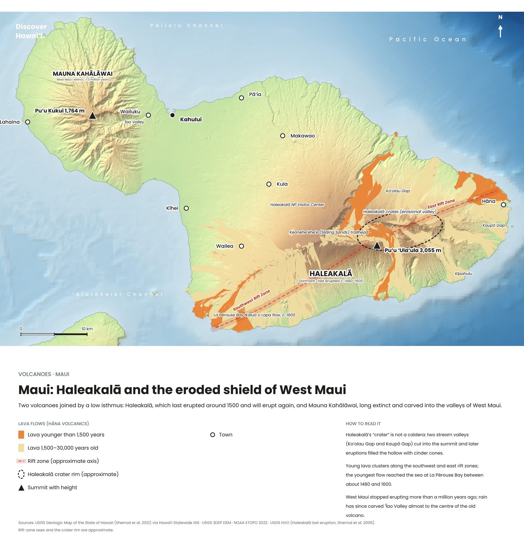
Maui is two volcanoes joined by a low isthmus. The great dome of Haleakalā, the house of the sun, fills the east of the island and rises to 3,055 metres. In Hawaiian tradition the demigod Māui climbed to its summit and lassoed the sun to slow its path across the sky, giving his mother longer days to dry her kapa cloth.
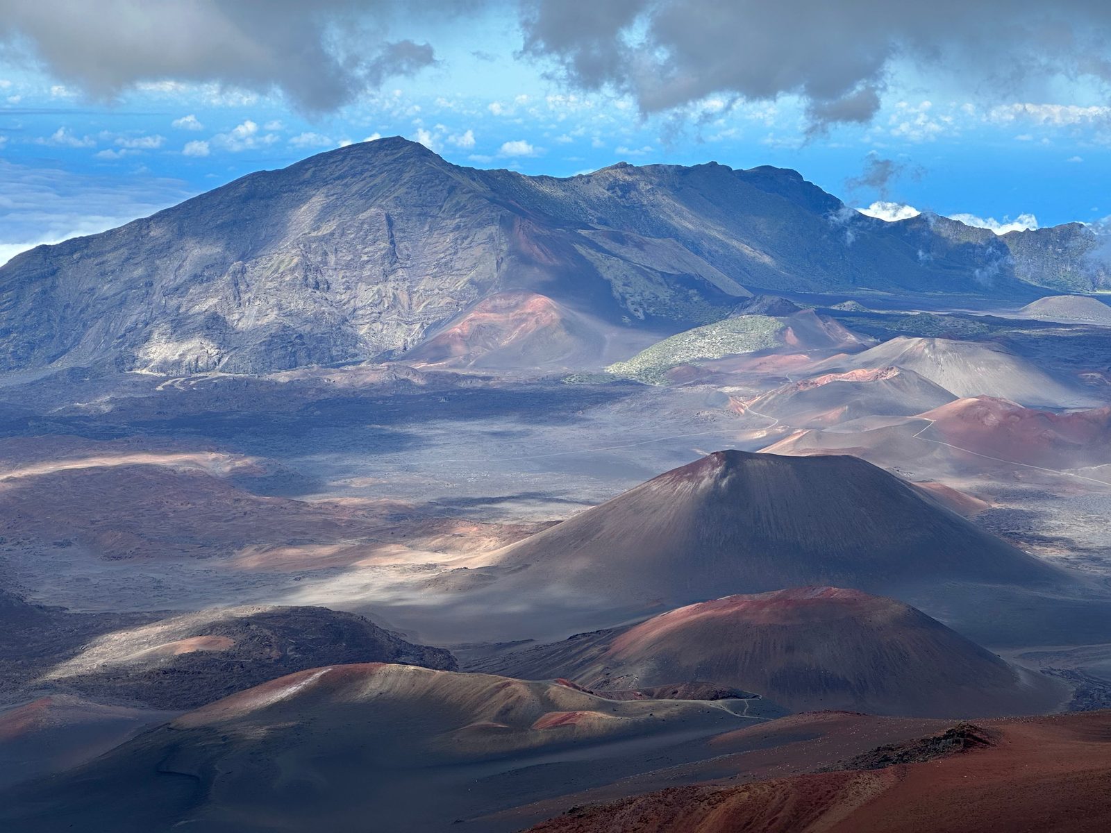
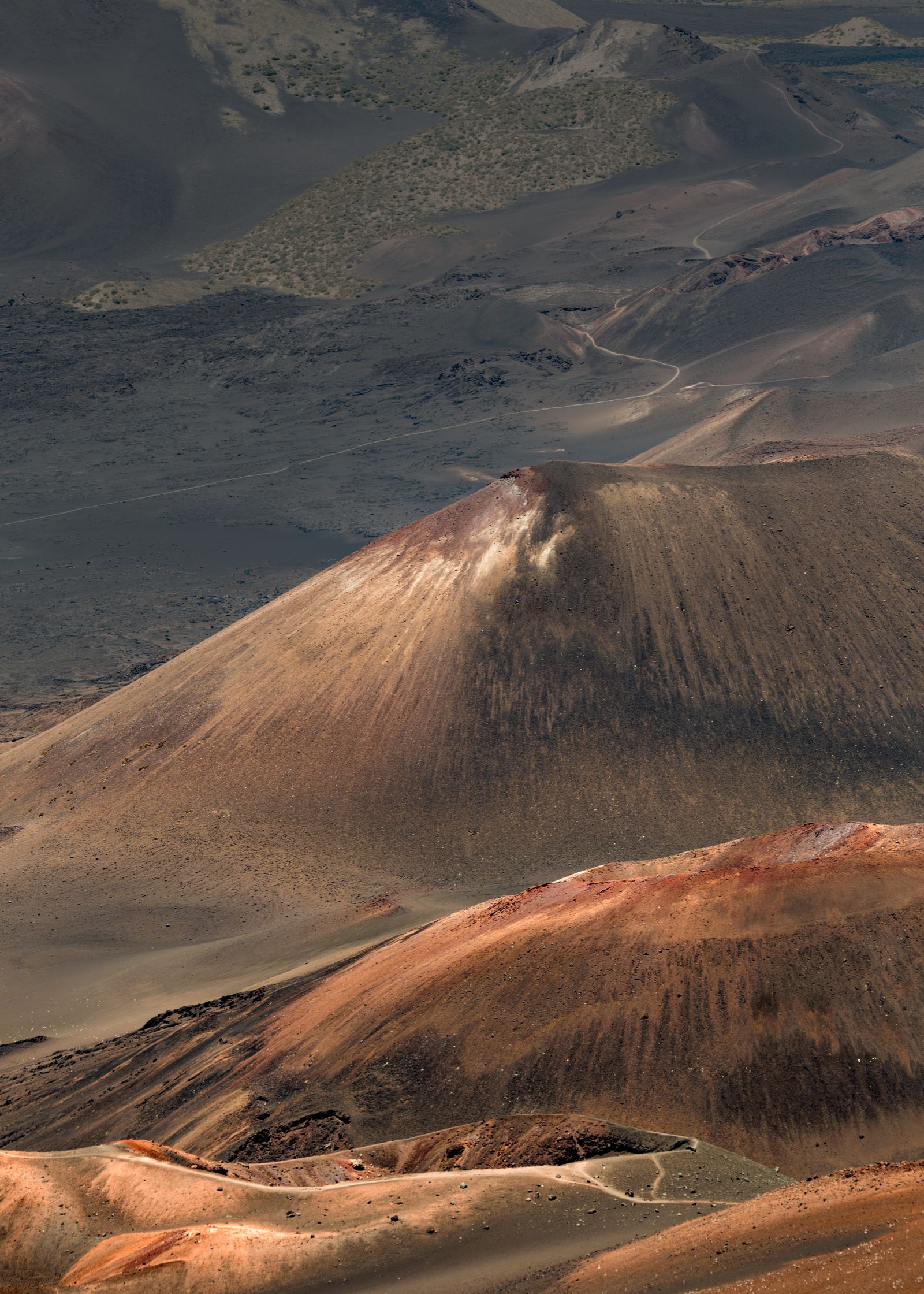
Its summit "crater" is not a true crater at all but a vast erosional valley, about 11 kilometres long and 800 metres deep, later partly refilled by younger cinder cones in shades of rust, ochre and grey. From the rim on a clear morning you can see the Big Island's Mauna Kea and Mauna Loa floating above the clouds.
Not extinctA volcano that will erupt again
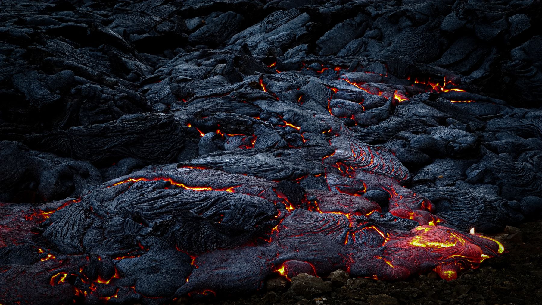
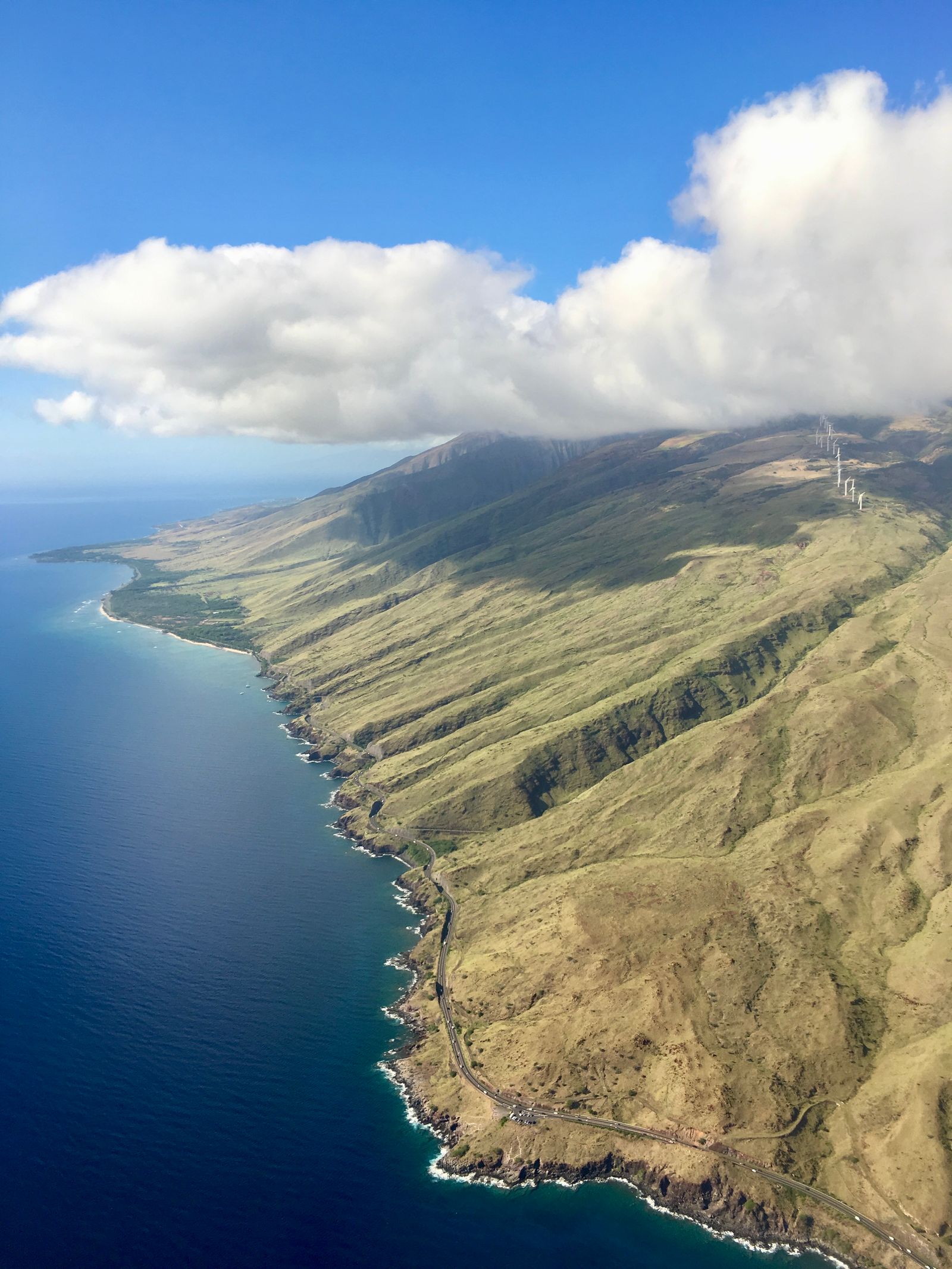
Haleakalā is not extinct. Its most recent eruption happened sometime between about 1480 and 1600, when lava flowed from vents on its southwest rift zone down towards the coast near La Perouse Bay. It has erupted at least ten times in the past thousand years.
The USGS counts it among Hawaii's six active volcanoes and monitors it for signs of unrest. There is no sign of an eruption coming soon, but the black, barely weathered lava flows on the drive to Mākena are a reminder of how recently the mountain was alive.
Sunrise and the crater trailsHaleakalā National Park
Haleakalā National Park is famous for sunrise from the summit, which requires an advance reservation for the drive up, and for trails like Sliding Sands (Keoneheʻeheʻe) that drop into the crater among cinder cones and the rare ʻāhinahina, or silversword, a plant found nowhere else on Earth.
The summit is cold before dawn, often near freezing, and the thin air at over 3,000 metres affects some visitors, so bring warm layers and take it slowly. The park's coastal Kīpahulu district near Hāna, with its pools and bamboo forest, is a separate drive on the other side of the mountain.