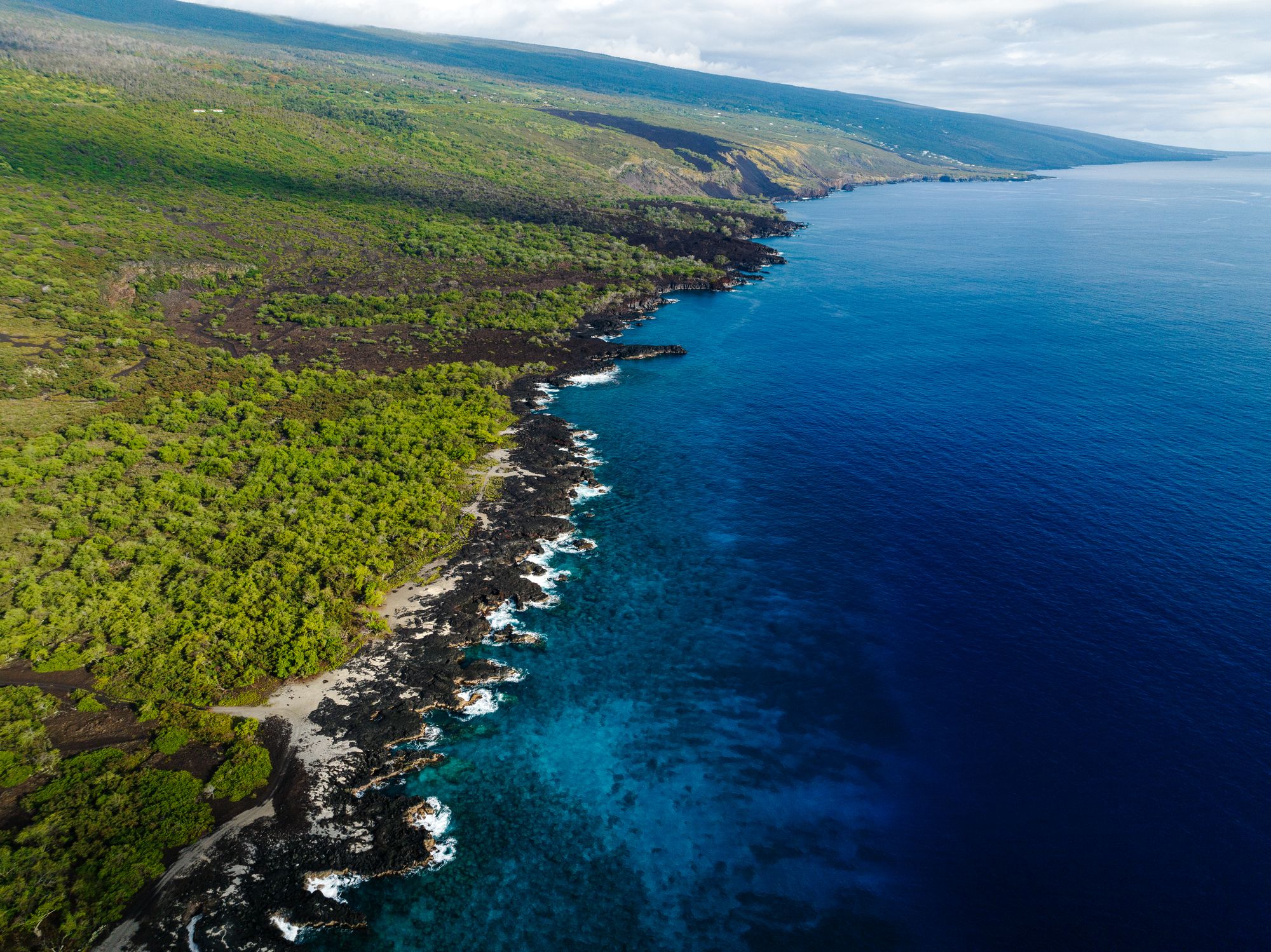
Forest meeting the sea on the Kona coast below Hualālai

Volcanoes · Hawaiʻi Island

Hualālai.

The volcano above Kona: quiet for two centuries, but still active and sure to erupt again.

3 min read

2,521 mSummit height above the sea
1801Last eruption
ActiveUSGS status
3rdMost active volcano on the island
Kona's volcano · Active

HualālaiThe mountain above Kona

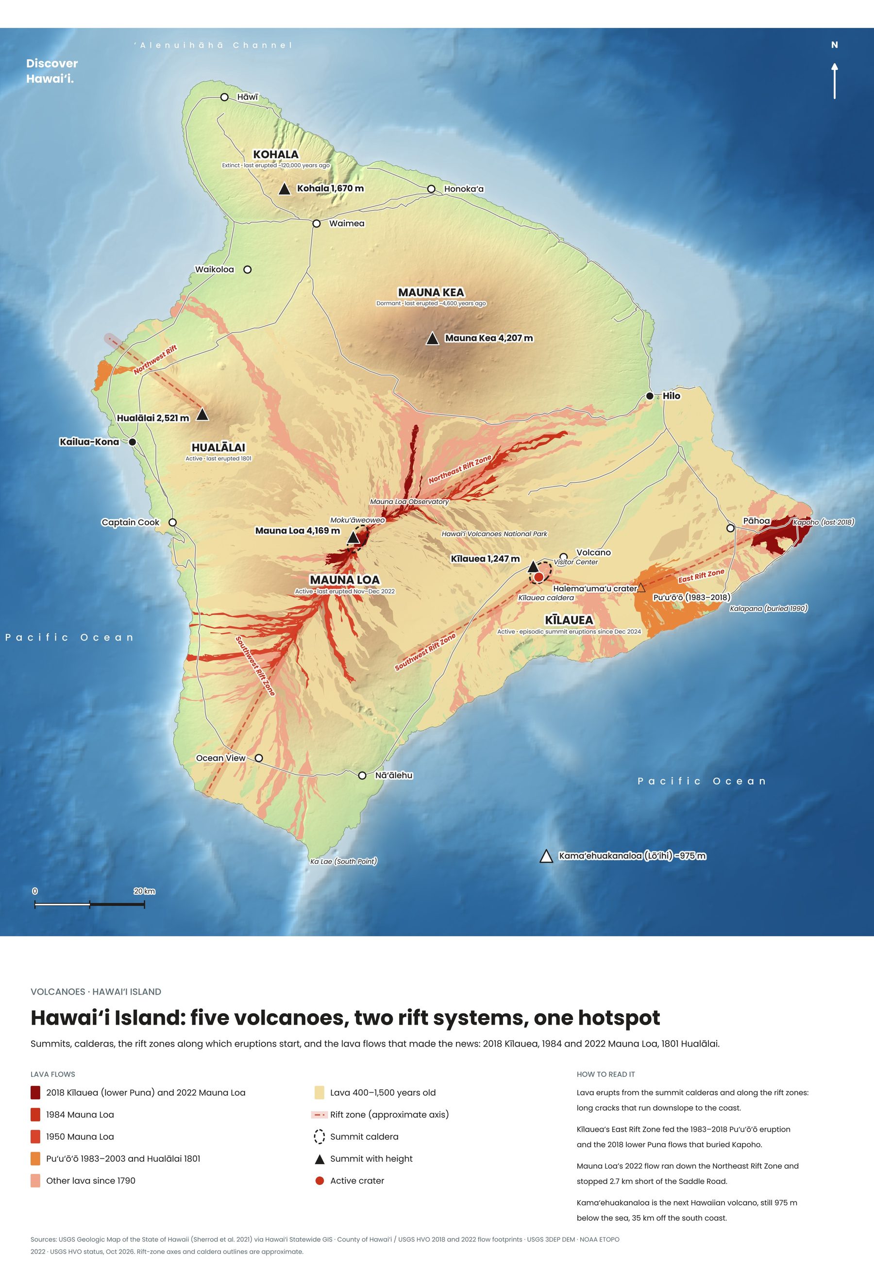
Hualālai rises behind Kailua-Kona to 2,521 metres, the third-highest volcano on the Big Island and the third most active, after Kīlauea and Mauna Loa. Its slopes are dotted with cinder and spatter cones, and its lava flows form much of the Kona coast.

It last erupted around 1800–1801, when lava from vents on its northwest flank poured down to the sea. One of those flows lies beneath the runway of Kona International Airport, and the black lava fields you cross on the drive north from the airport are among its youngest.
2,521 mSummit height
1801Last eruption
Map of the five volcanoes of Hawaiʻi Island, with rift zones and historic lava flows
Hawaiʻi Island: five volcanoes, two rift systems, one hotspot. Tap to enlarge.
Will it erupt again?

The next eruptionA volcano worth watching

Hualālai is very much alive. In 1929 a swarm of earthquakes shook the volcano for weeks, probably as magma moved beneath it, though no lava reached the surface. Geologists expect it to erupt again, and because its flows could reach the sea in hours, it is one of the most closely watched volcanoes for the Kona coast.

For visitors there is no immediate concern, and the USGS Hawaiian Volcano Observatory monitors it continuously. Its slopes are mostly private land, but the Kona coast below, from Kekaha Kai to Kaloko-Honokōhau, shows its handiwork everywhere: fresh lava meeting turquoise water.
Keep exploring

More volcanoes in Hawaii

← All volcanoes on the map
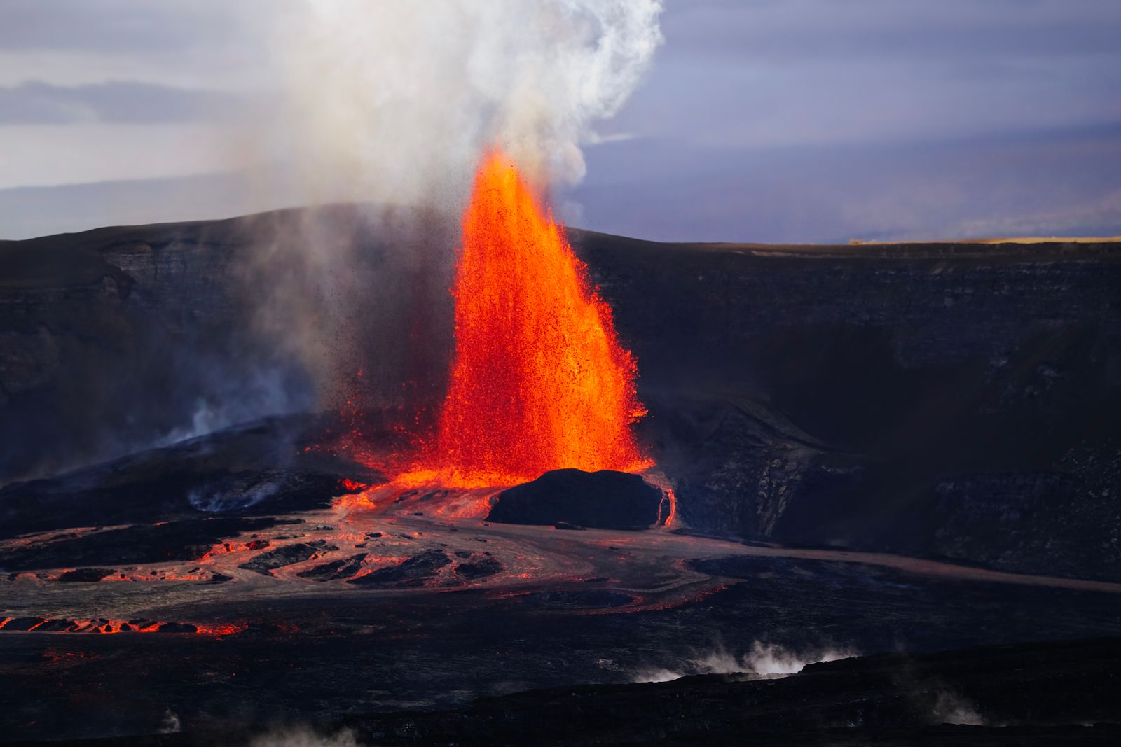
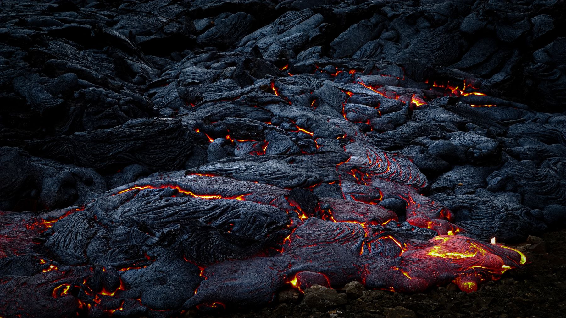
Glowing lava moving across cooled black rock at night on the Big Island
Discover Hawaii: Volcanoes, Complete Guide, 2027 edition, cover

The volcano guide · Out now

Volcanoes

Inside the Islands' Mountains of Fire


Kīlauea, Mauna Loa, Haleakalā and beyond. Our complete 2027 guide takes you inside Hawaii's living volcanoes, from the hotspot that built the islands to the overlooks where you can watch lava tonight: 220 pages of hiking maps, crater guides and practical travel tips.

Every volcano, island by islandKīlauea, Mauna Loa, Mauna Kea, Hualālai, Kohala, Haleakalā and the older islands
Hiking & crater mapsTrails with the best volcano views, summit routes and caldera rims, mapped
Watching lava safelyEruption updates, vog, closures and the best overlooks at Kīlauea
Plan the tripPark fees, permits, summit cabins, Haleakalā sunrise reservations and where to stay

Instant PDF download · 220 pages · Apple Pay, card or PayPal