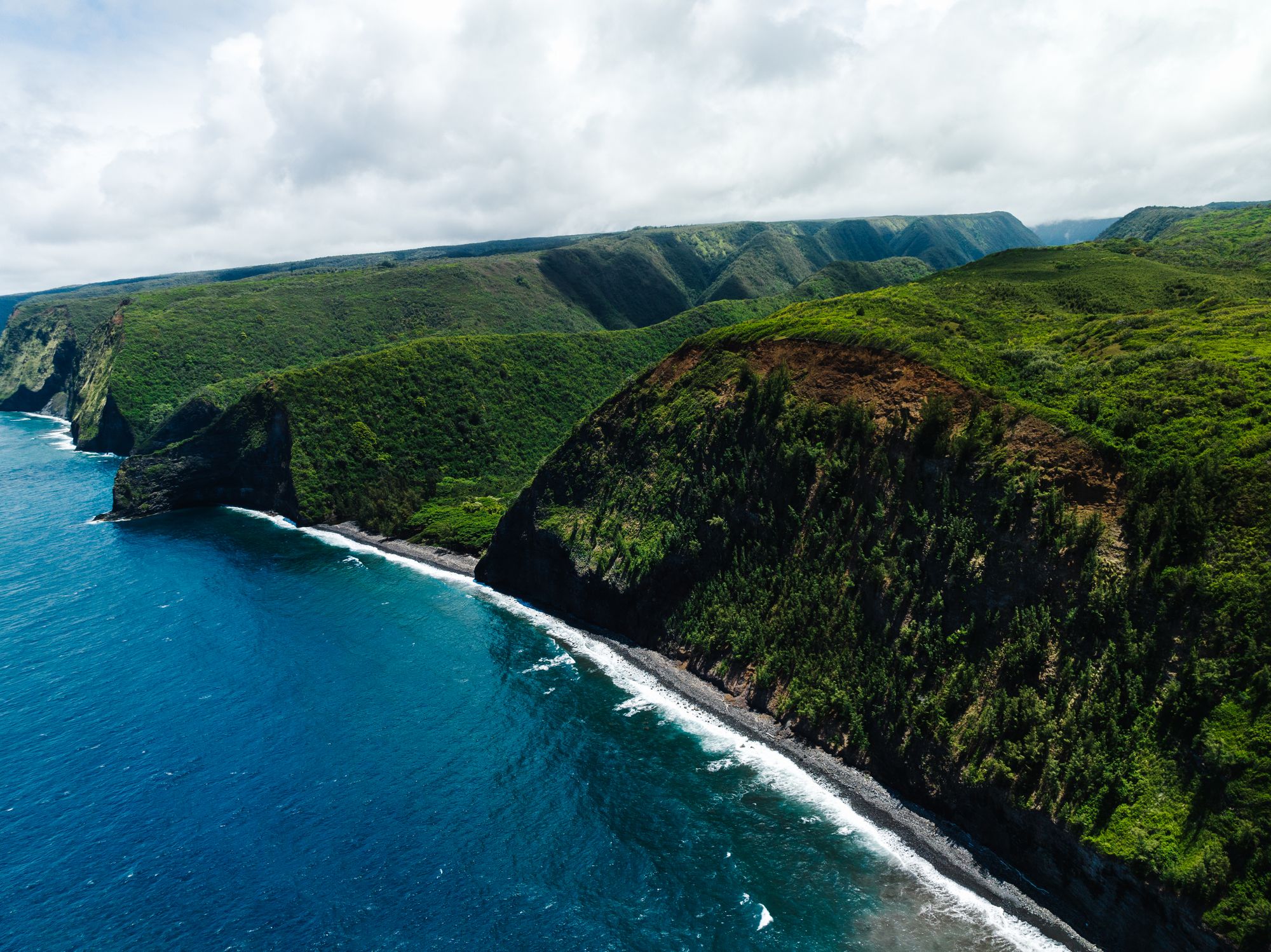
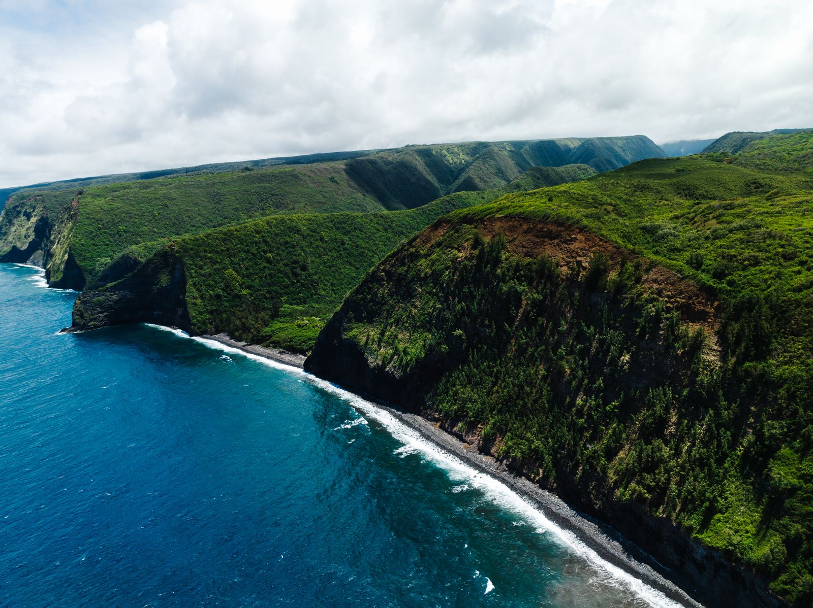
Sea cliffs and deep valleys on the northern coast of the Big Island

Volcanoes · Hawaiʻi Island

Kohala.

The oldest of the Big Island's five volcanoes, long extinct and carved into the island's deepest green valleys.

3 min read

1,670 mSummit height above the sea
~120,000 yrsSince its last eruption
ExtinctWill not erupt again
WaipiʻoIts most famous valley
The oldest · Extinct

KohalaWhere the Big Island began

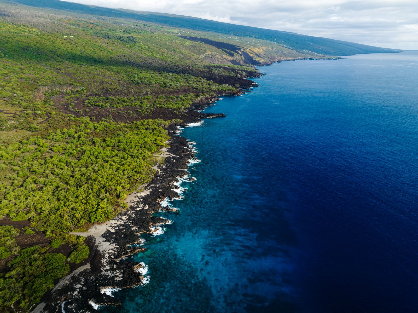
Kohala, at the island's northern tip, is the oldest of the Big Island's five volcanoes and the first to rise above the sea. It last erupted around 120,000 years ago and is extinct. Its summit reaches 1,670 metres, much lower than it once stood, because the volcano has sunk and been worn down by rain and waves.

On its wet, windward side, streams have cut the deep amphitheatre valleys of Waipiʻo, Waimanu and Pololū, with sheer walls and waterfalls dropping to black-sand beaches. A giant landslide long ago carried part of the volcano into the sea, leaving the high sea cliffs of the northeast coast.
1,670 mSummit height
~120,000 yrsSince last eruption
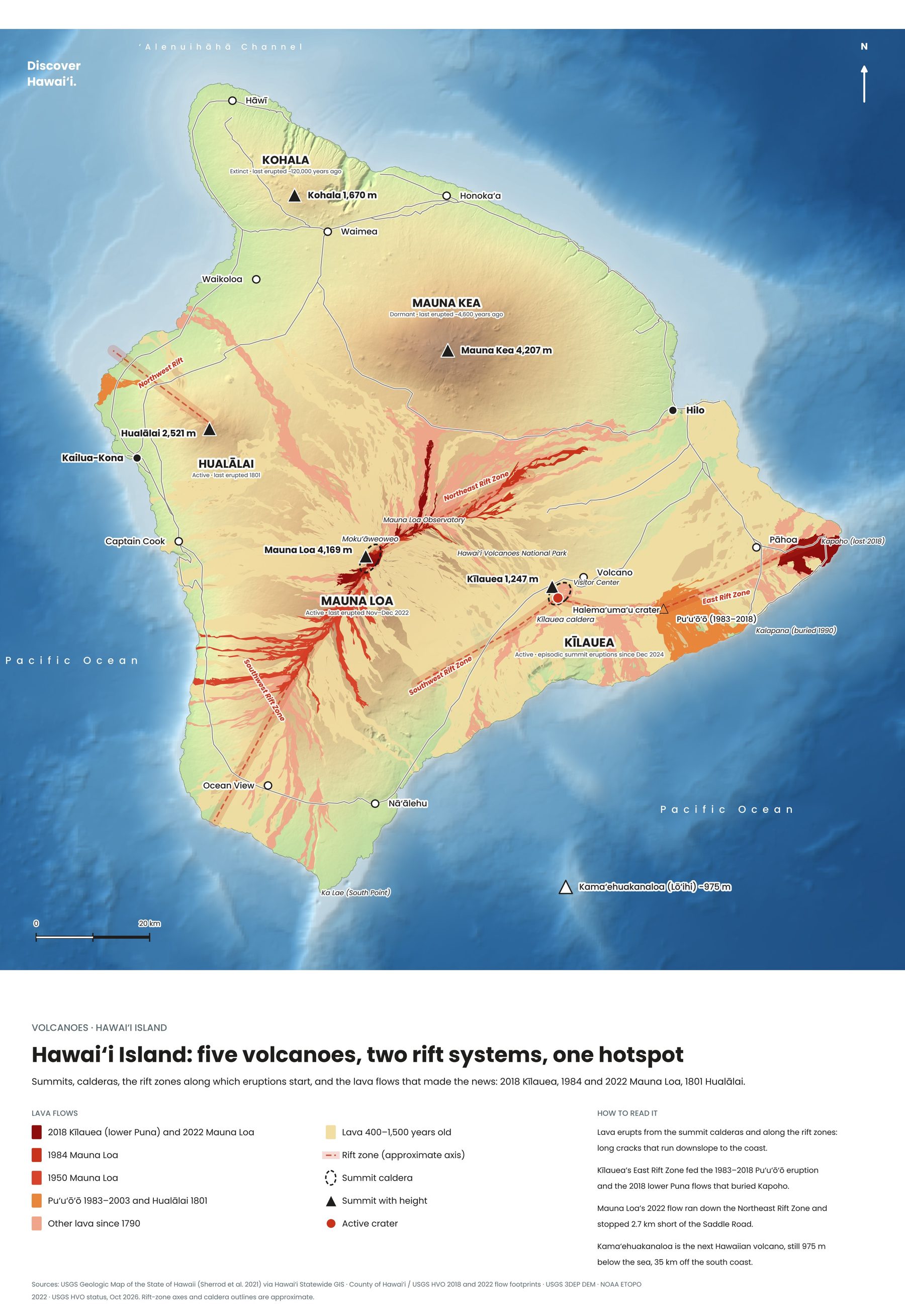
Map of the five volcanoes of Hawaiʻi Island, with rift zones and historic lava flows
Hawaiʻi Island: five volcanoes, two rift systems, one hotspot. Tap to enlarge.
History and land

The birthplace of a kingNorth Kohala

North Kohala is where Kamehameha the Great, who united the Hawaiian Islands into one kingdom, was born around 1758, and the district is rich in history, from the ancient Moʻokini Heiau to the original Kamehameha statue in Kapaʻau.

Today it is one of the most rewarding corners of the island to explore. The short, steep Pololū Valley trail descends to a boulder beach, and the Waipiʻo Valley lookout gives a view straight into the valley Hawaiians call the valley of the kings.
c. 1758Kamehameha born here
PololūValley trail
Keep exploring

More volcanoes in Hawaii

← All volcanoes on the map
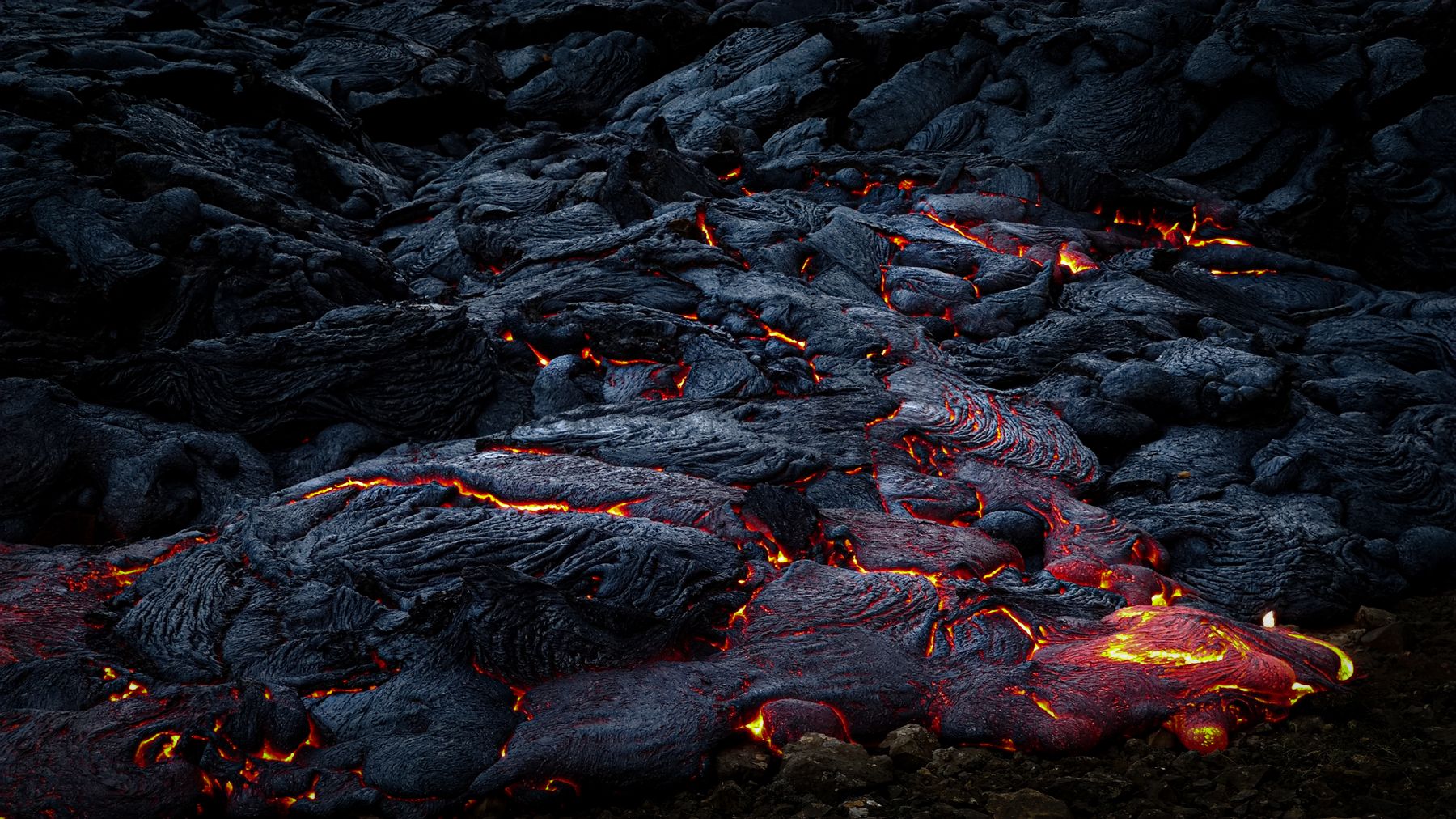
Glowing lava moving across cooled black rock at night on the Big Island
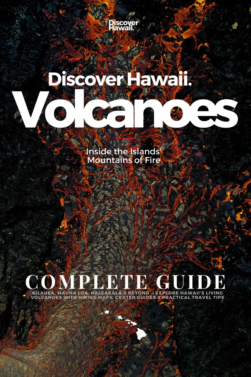
Discover Hawaii: Volcanoes, Complete Guide, 2027 edition, cover

The volcano guide · Out now

Volcanoes

Inside the Islands' Mountains of Fire


Kīlauea, Mauna Loa, Haleakalā and beyond. Our complete 2027 guide takes you inside Hawaii's living volcanoes, from the hotspot that built the islands to the overlooks where you can watch lava tonight: 220 pages of hiking maps, crater guides and practical travel tips.

Every volcano, island by islandKīlauea, Mauna Loa, Mauna Kea, Hualālai, Kohala, Haleakalā and the older islands
Hiking & crater mapsTrails with the best volcano views, summit routes and caldera rims, mapped
Watching lava safelyEruption updates, vog, closures and the best overlooks at Kīlauea
Plan the tripPark fees, permits, summit cabins, Haleakalā sunrise reservations and where to stay

Instant PDF download · 220 pages · Apple Pay, card or PayPal