The largest volcano on EarthHiding in plain sight
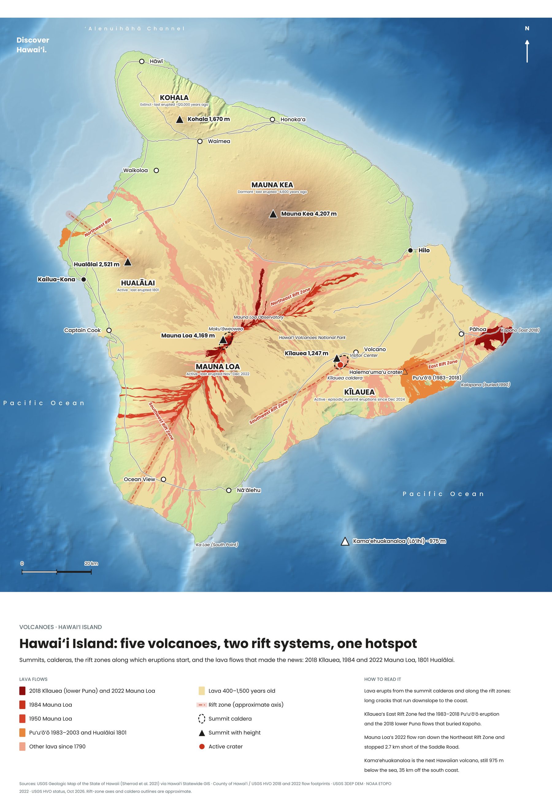
Mauna Loa does not look dramatic from a distance. It rises so gently, in a long, smooth dome, that it is easy to miss just how enormous it is. It covers about half of the Big Island and is the largest active volcano in the world, rising 4,169 metres above the sea and several kilometres more from the ocean floor beneath it.
Its name means "long mountain", and the summit caldera, Mokuʻāweoweo, is several kilometres across. Two rift zones run from it to the northeast and southwest, and it is along these that most of its lava has poured out, sometimes reaching the sea and, in 1880–81, coming within a few kilometres of Hilo.
The 2022 eruptionTwo weeks of fire
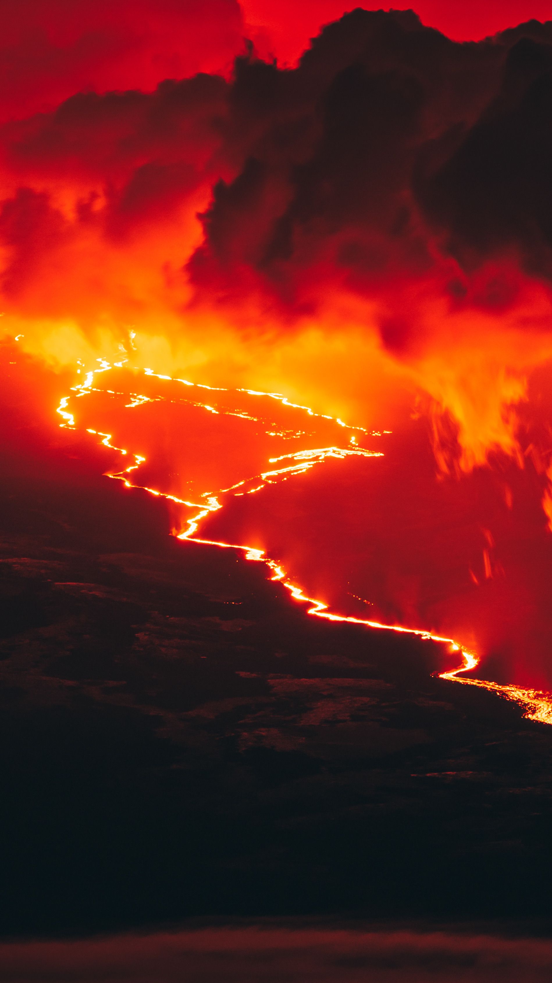
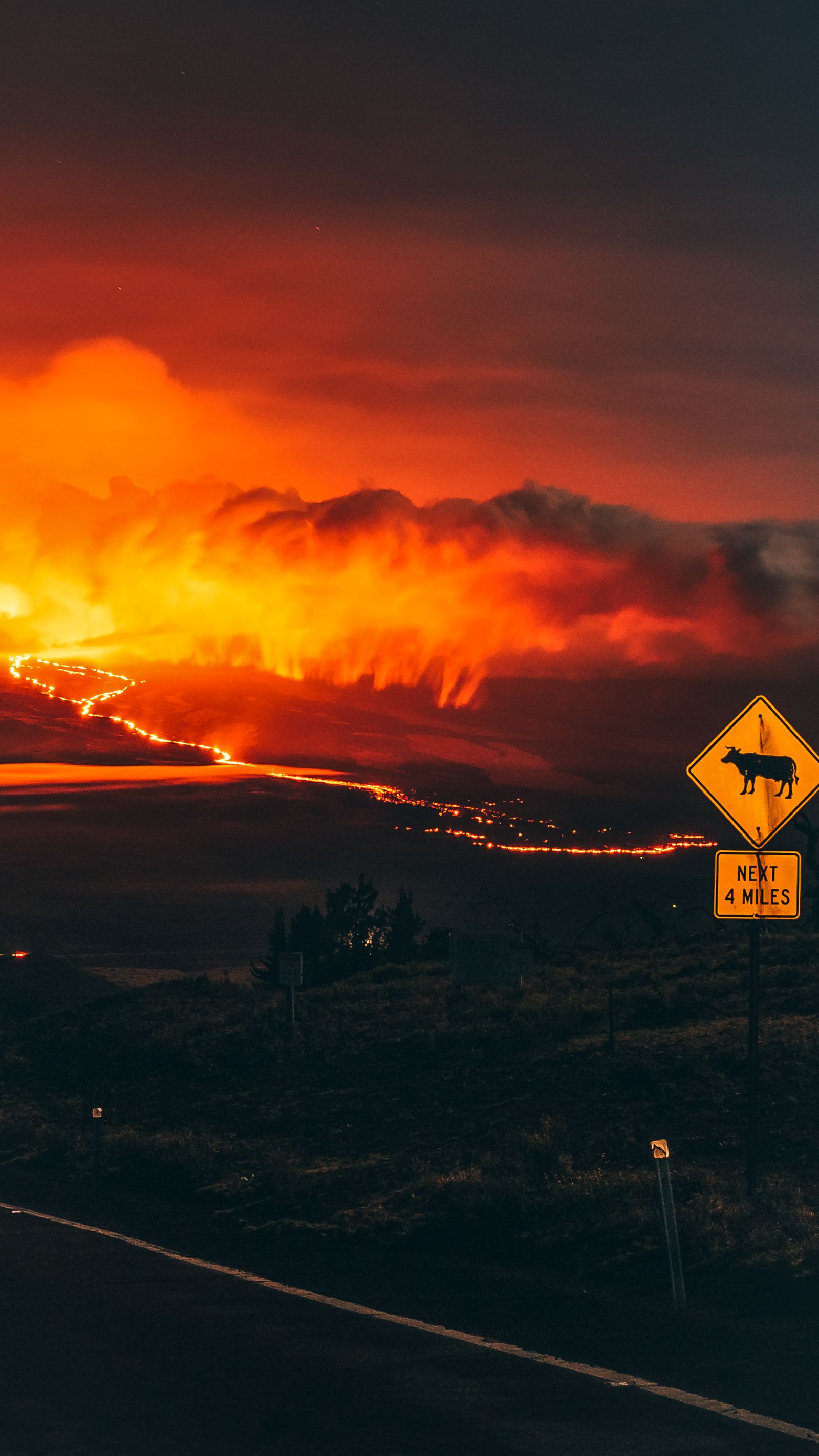
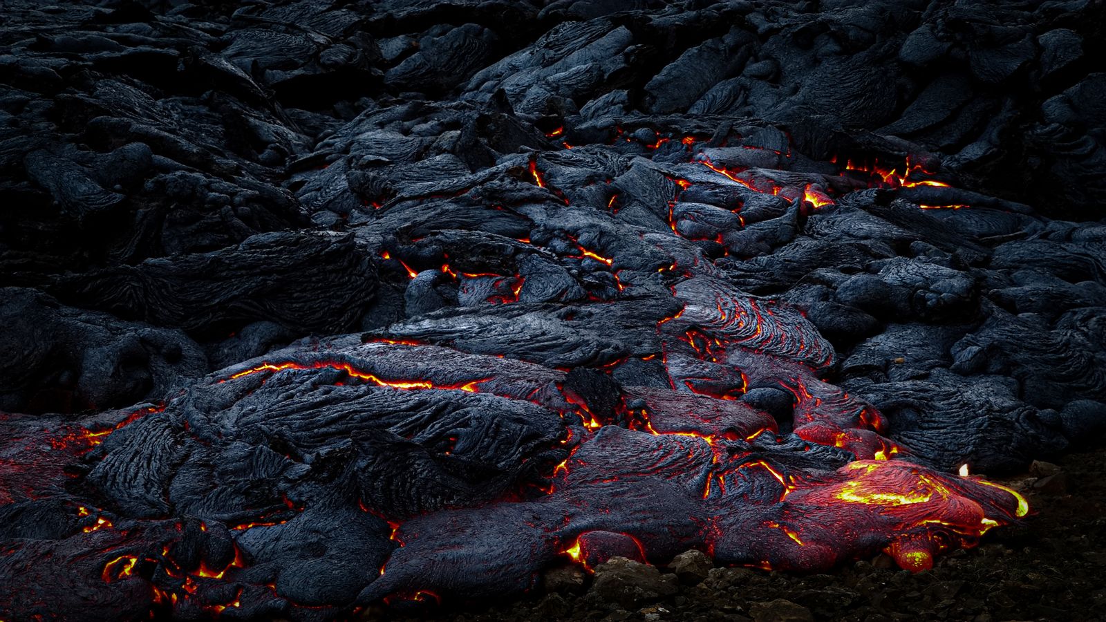
After 38 quiet years, Mauna Loa woke on 27 November 2022. Lava fountains opened in the summit caldera, then moved to the Northeast Rift Zone, where a river of lava flowed towards the Saddle Road between Hilo and Kona. Thousands of people drove out at night to watch it glow across the island.
The eruption ended on 13 December, with the flow front a few kilometres short of the highway. Lava did cut the power line to NOAA's Mauna Loa Observatory, where scientists have measured carbon dioxide in the atmosphere since 1958, and measurements moved to Mauna Kea while it was repaired.
Seeing Mauna LoaFrom the Saddle Road to the summit
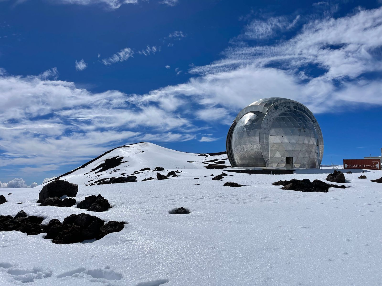
The summit is a serious high-altitude trek through a stark world of cinder and lava, with a permit-only cabin at the caldera rim, and it is only for fit, well-equipped hikers who have acclimatised. For most visitors, the best views of its vast slopes are from the Saddle Road, from Kīlauea's overlooks and from Mauna Kea across the valley.
Mauna Loa is closely watched by the USGS Hawaiian Volcano Observatory, which publishes its alert level. Because it can erupt with little warning and its flows move fast, it is one of the most hazardous volcanoes in the United States for the communities on its flanks.