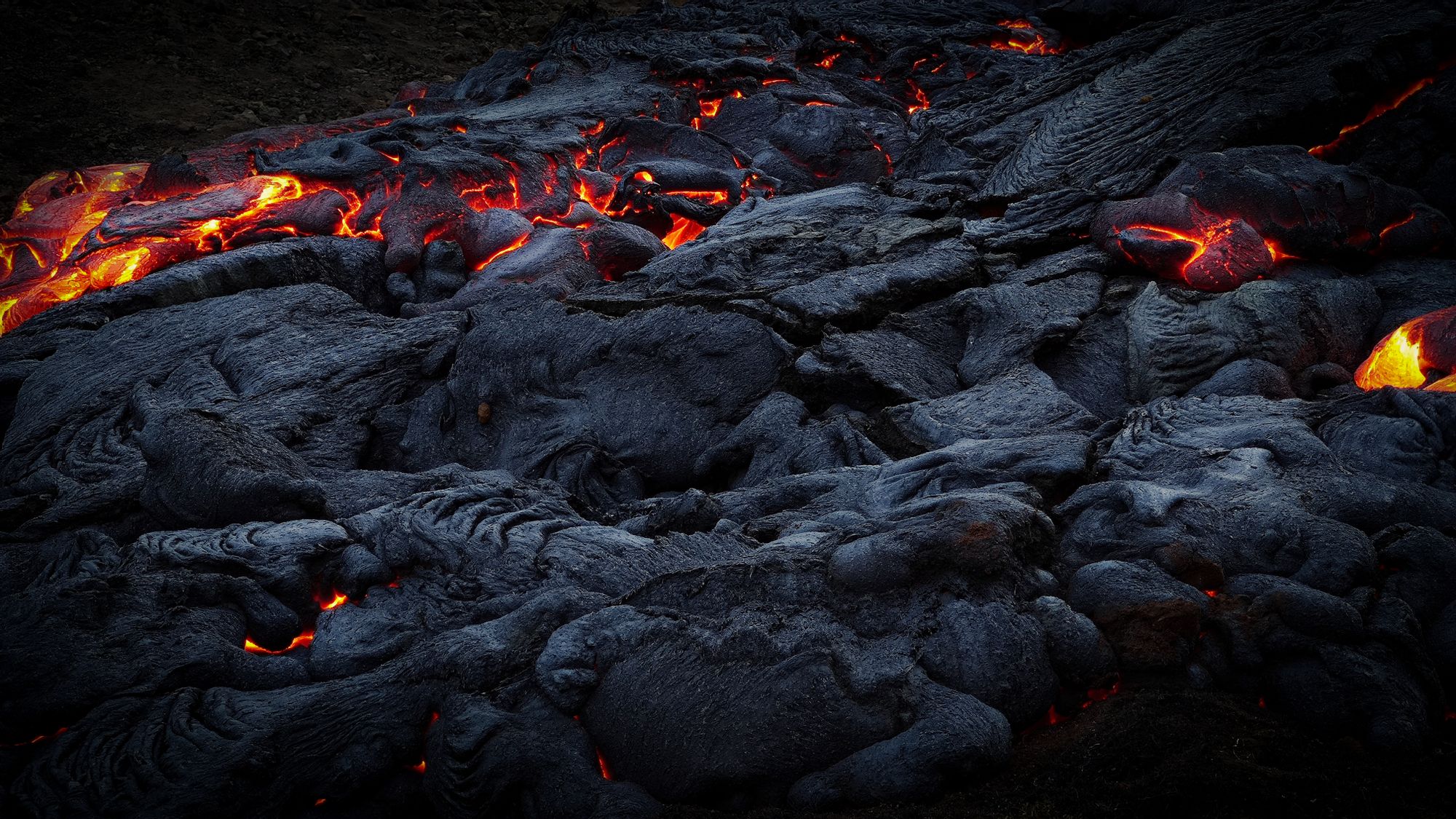
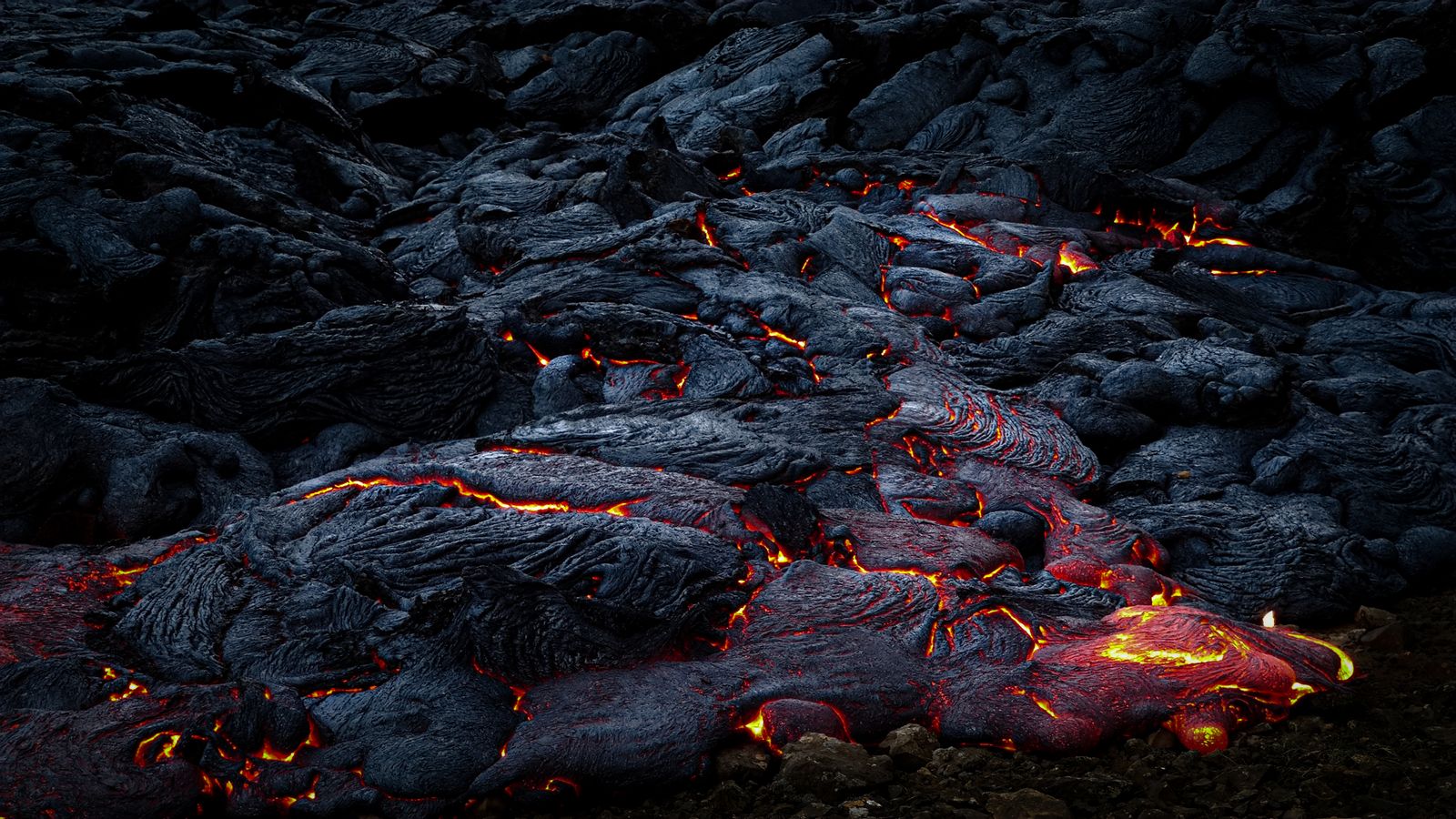
Lava meeting the ocean off the Big Island

Volcanoes · Under the sea

Kamaʻehuakanaloa.

The next Hawaiian island, still growing on the sea floor about 30 km off the Big Island's southeast coast.

3 min read

−969 mSummit depth below the sea
~30 kmOff the Big Island's southeast coast
1996Last confirmed eruption
2021Year it was renamed
The next island

KamaʻehuakanaloaAn island still under the sea

About 30 kilometres off the Big Island's southeast coast, a new volcano is growing on the sea floor. Kamaʻehuakanaloa, formerly known as Lōʻihi, rises from the deep ocean, and its summit still lies about 969 metres below the surface. It was renamed in 2021 by the Hawaii Board on Geographic Names, and its name evokes the reddish child of Kanaloa, the god of the ocean.

It is the youngest volcano of the Hawaiian chain and sits closest to the hotspot. Scientists expect it will take many thousands of years to reach the surface, by which time it may well have merged with the Big Island.
−969 mSummit depth
YoungestVolcano in the chain
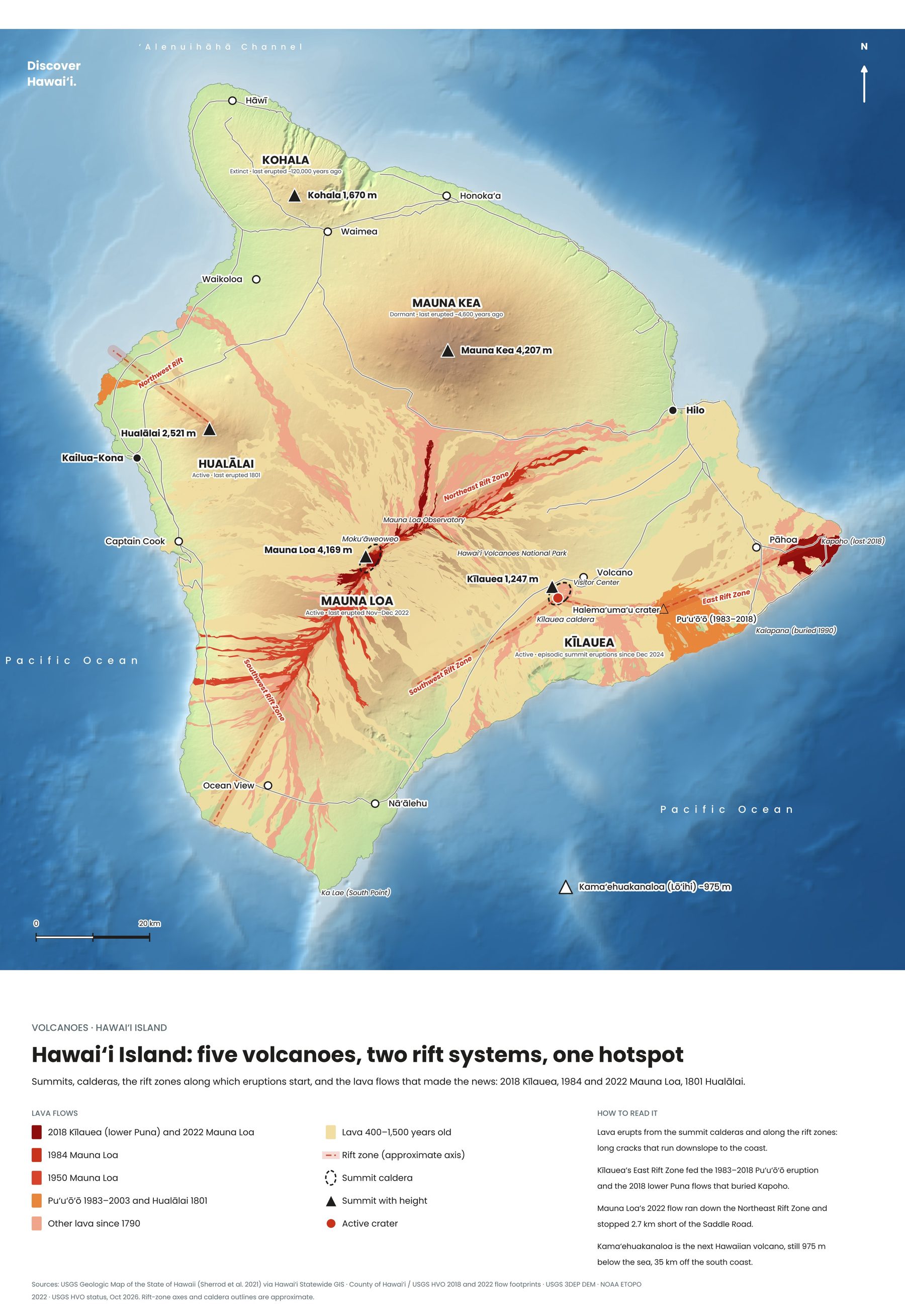
Map of the five volcanoes of Hawaiʻi Island, with rift zones and historic lava flows
Hawaiʻi Island: five volcanoes, two rift systems, one hotspot. Tap to enlarge.
Science in the deep

Life at the ventsEarthquakes, submarines and microbes

Its last confirmed eruption came in 1996, announced by one of the largest earthquake swarms ever recorded in Hawaii. Research submarines that dived afterwards found a new pit crater on its summit, named Pele's Pit, where the volcano had collapsed.

Around its hot springs, iron-rich water feeds mats of microbes that coat the rocks in rust-orange, and scientists study them as a window into how life may have begun on the early Earth. The volcano is monitored by instruments and the occasional research cruise; it is the one Hawaiian volcano no visitor will ever stand on, at least for a few thousand years.
Keep exploring

More volcanoes in Hawaii

← All volcanoes on the map
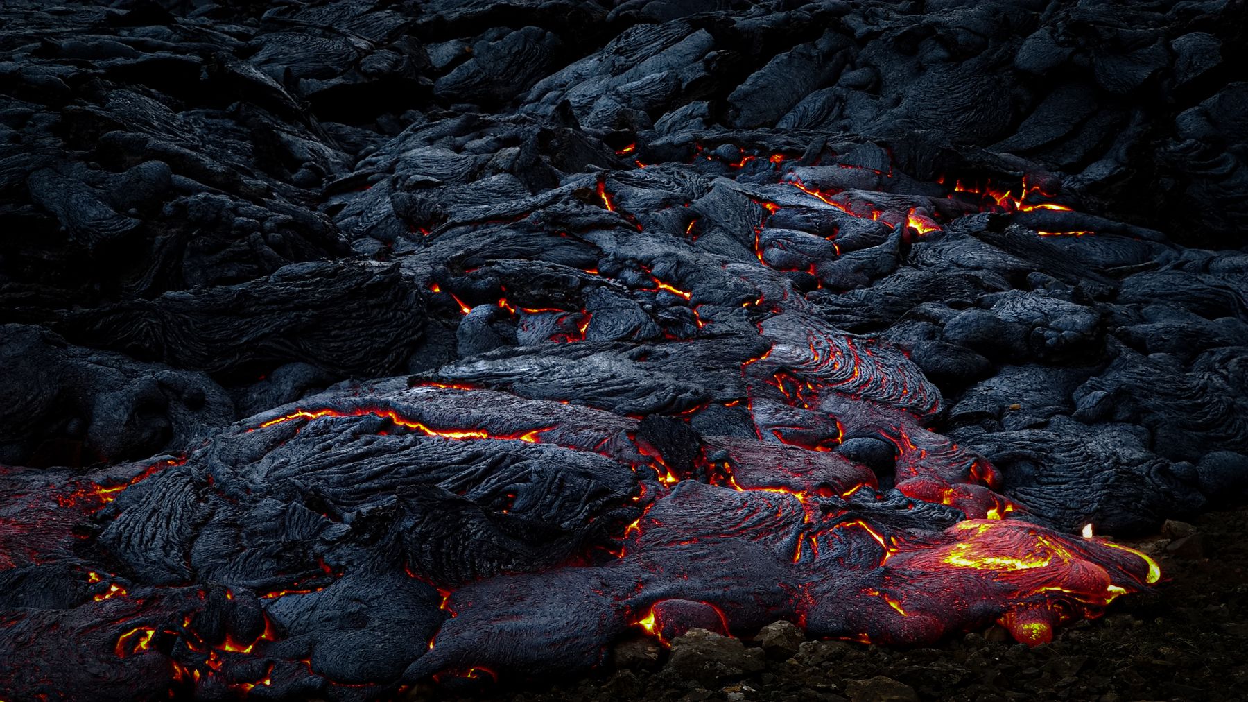
Glowing lava moving across cooled black rock at night on the Big Island
Discover Hawaii: Volcanoes, Complete Guide, 2027 edition, cover

The volcano guide · Out now

Volcanoes

Inside the Islands' Mountains of Fire


Kīlauea, Mauna Loa, Haleakalā and beyond. Our complete 2027 guide takes you inside Hawaii's living volcanoes, from the hotspot that built the islands to the overlooks where you can watch lava tonight: 220 pages of hiking maps, crater guides and practical travel tips.

Every volcano, island by islandKīlauea, Mauna Loa, Mauna Kea, Hualālai, Kohala, Haleakalā and the older islands
Hiking & crater mapsTrails with the best volcano views, summit routes and caldera rims, mapped
Watching lava safelyEruption updates, vog, closures and the best overlooks at Kīlauea
Plan the tripPark fees, permits, summit cabins, Haleakalā sunrise reservations and where to stay

Instant PDF download · 220 pages · Apple Pay, card or PayPal