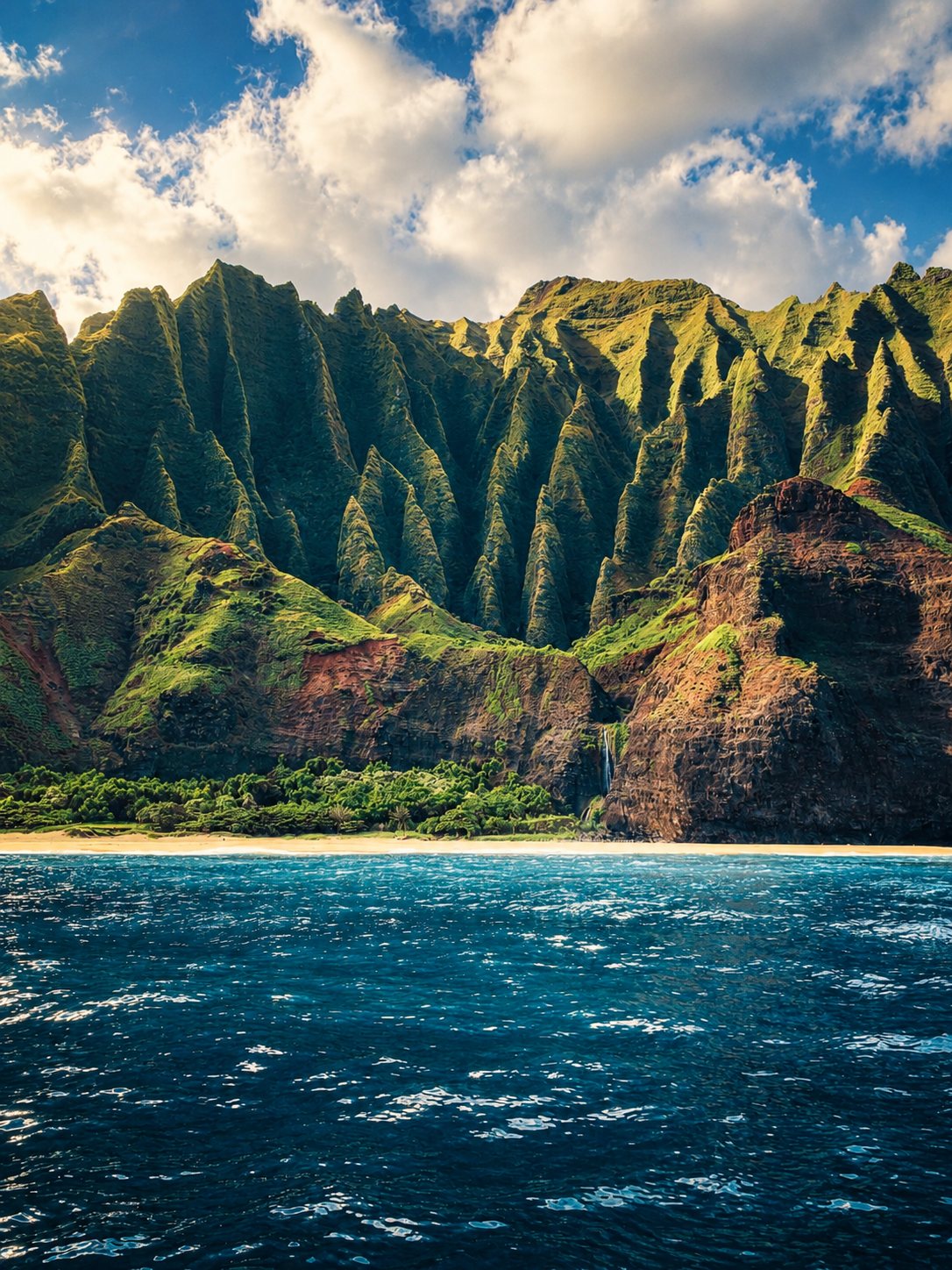
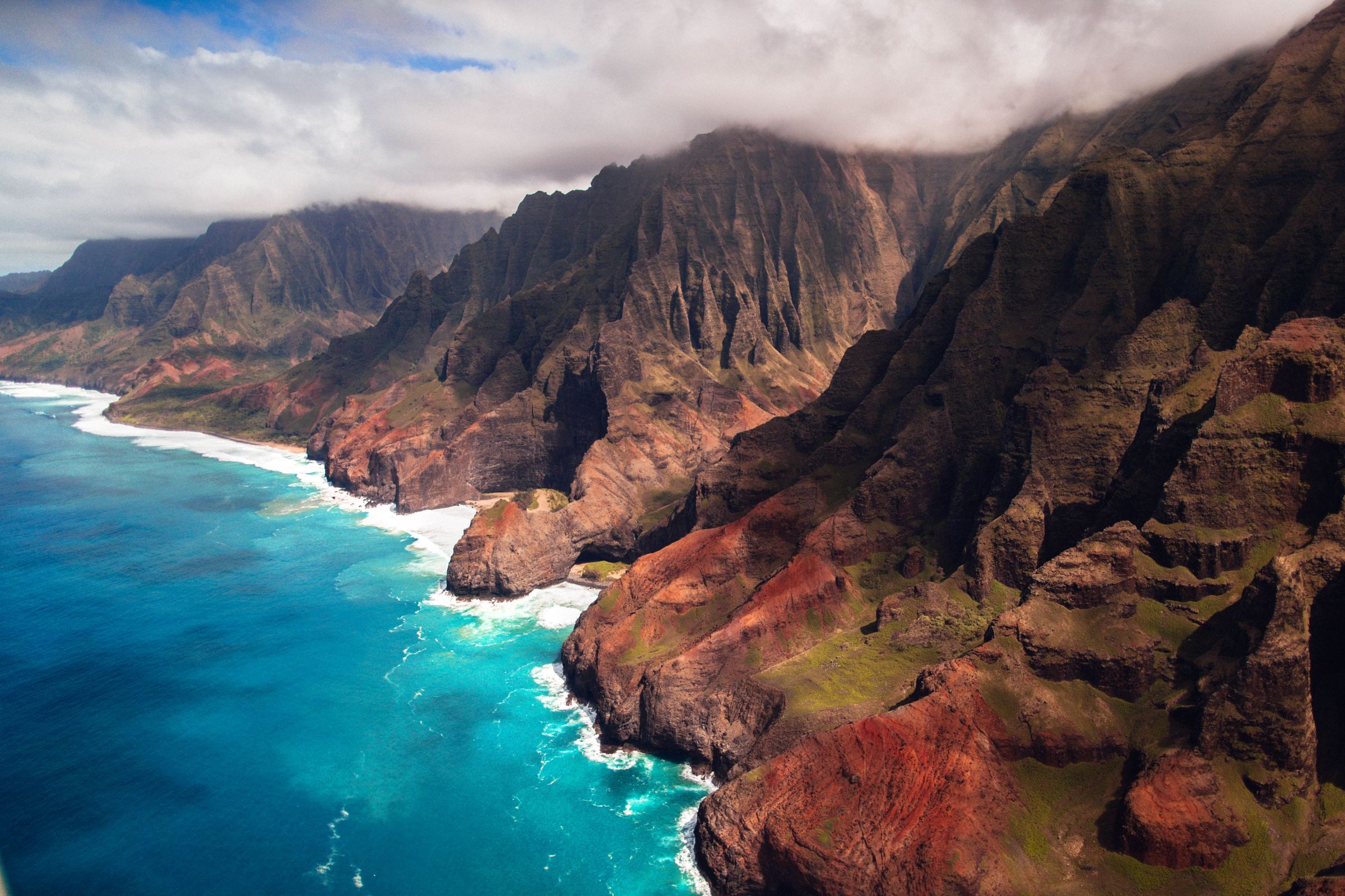
The fluted green sea cliffs of the Nā Pali Coast on Kauaʻi

Volcanoes · Kauaʻi

Kauaʻi.

The oldest of the main islands: one great volcano, five million years of rain, and the result is Waimea Canyon and the Nā Pali Coast.

3 min read

~5 millionYears: the age of Kauaʻi
1,598 mKawaikini, Kauaʻi's highest point
16–19 kmWidth of its caldera, the largest in Hawaii
~430 inOf rain a year on Mount Waiʻaleʻale
Kauaʻi · Extinct

The Kauaʻi volcanoThe oldest main island

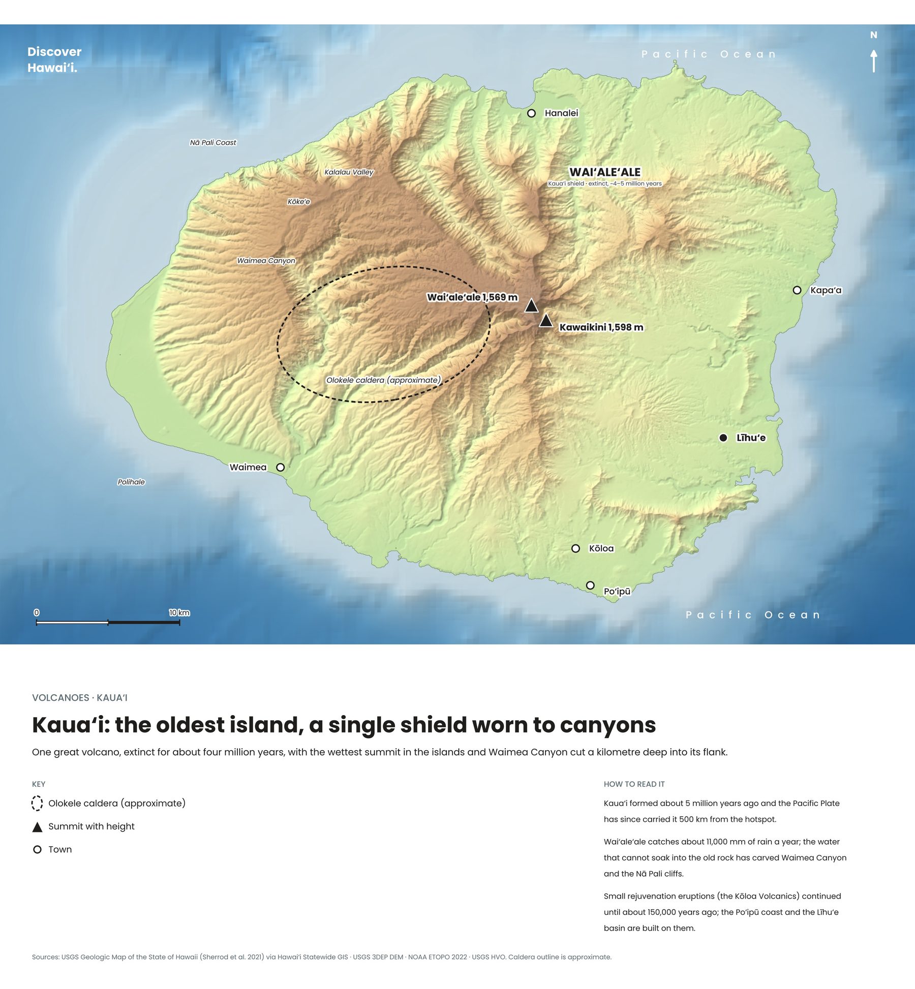
Kauaʻi is the oldest of the eight main Hawaiian islands, built by a single great shield volcano that rose from the sea about five million years ago. When the top of the shield collapsed it left a caldera 16 to 19 kilometres across, the largest in the Hawaiian Islands, which later filled with thick lava flows.

The main volcano went quiet around four million years ago, but small eruptions on the eastern side continued sporadically until about half a million years ago. Its highest summits, Kawaikini at 1,598 metres and Waiʻaleʻale beside it, catch so much rain, around 430 inches a year, that Waiʻaleʻale is one of the wettest places on Earth.
~5 millionYears old
1,598 mKawaikini
Map of Kauaʻi's volcano
Kauaʻi: one volcano, five million years of erosion. Tap to enlarge.
Erosion at work

Waimea Canyon & Nā PaliWhat rain does to a volcano

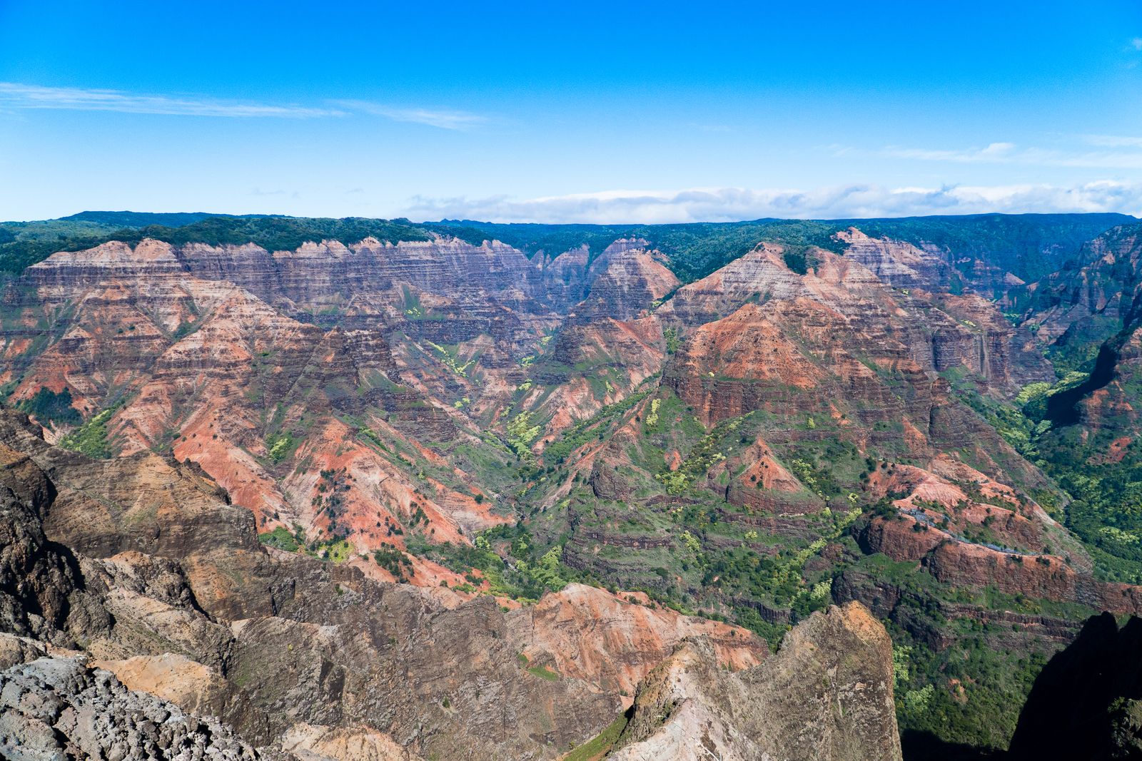
All that rain has carved the old volcano into some of the most dramatic landscapes in the Pacific. Waimea Canyon, sometimes called the Grand Canyon of the Pacific, cuts through layers of lava that ponded in the old caldera, its red and green walls telling the story of eruption after eruption.

On the north and west coasts, waves and streams have shaped the knife-edge ridges of the Nā Pali Coast, which is reached on foot by the Kalalau Trail, or by boat and helicopter. Look closely at the cliffs and you can see the volcano's lava flows stacked like the pages of a book.
Waimea CanyonGrand Canyon of the Pacific
KalalauTrail along Nā Pali
Keep exploring

More volcanoes in Hawaii

← All volcanoes on the map
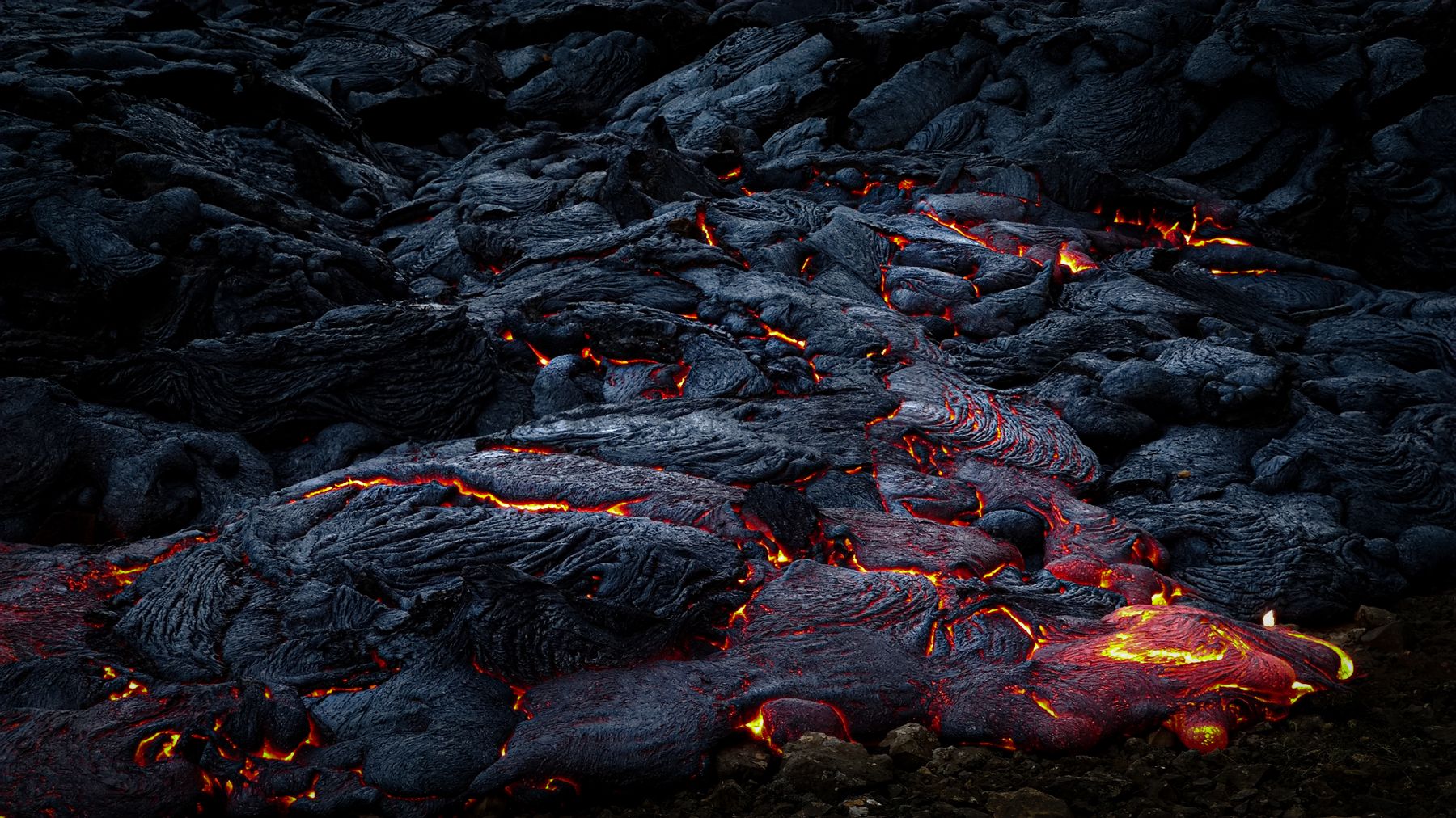
Glowing lava moving across cooled black rock at night on the Big Island
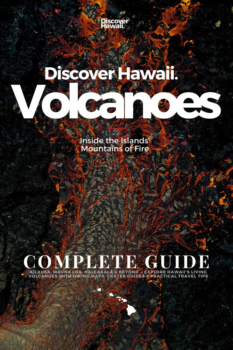
Discover Hawaii: Volcanoes, Complete Guide, 2027 edition, cover

The volcano guide · Out now

Volcanoes

Inside the Islands' Mountains of Fire


Kīlauea, Mauna Loa, Haleakalā and beyond. Our complete 2027 guide takes you inside Hawaii's living volcanoes, from the hotspot that built the islands to the overlooks where you can watch lava tonight: 220 pages of hiking maps, crater guides and practical travel tips.

Every volcano, island by islandKīlauea, Mauna Loa, Mauna Kea, Hualālai, Kohala, Haleakalā and the older islands
Hiking & crater mapsTrails with the best volcano views, summit routes and caldera rims, mapped
Watching lava safelyEruption updates, vog, closures and the best overlooks at Kīlauea
Plan the tripPark fees, permits, summit cabins, Haleakalā sunrise reservations and where to stay

Instant PDF download · 220 pages · Apple Pay, card or PayPal