Maui NuiOne island, four today
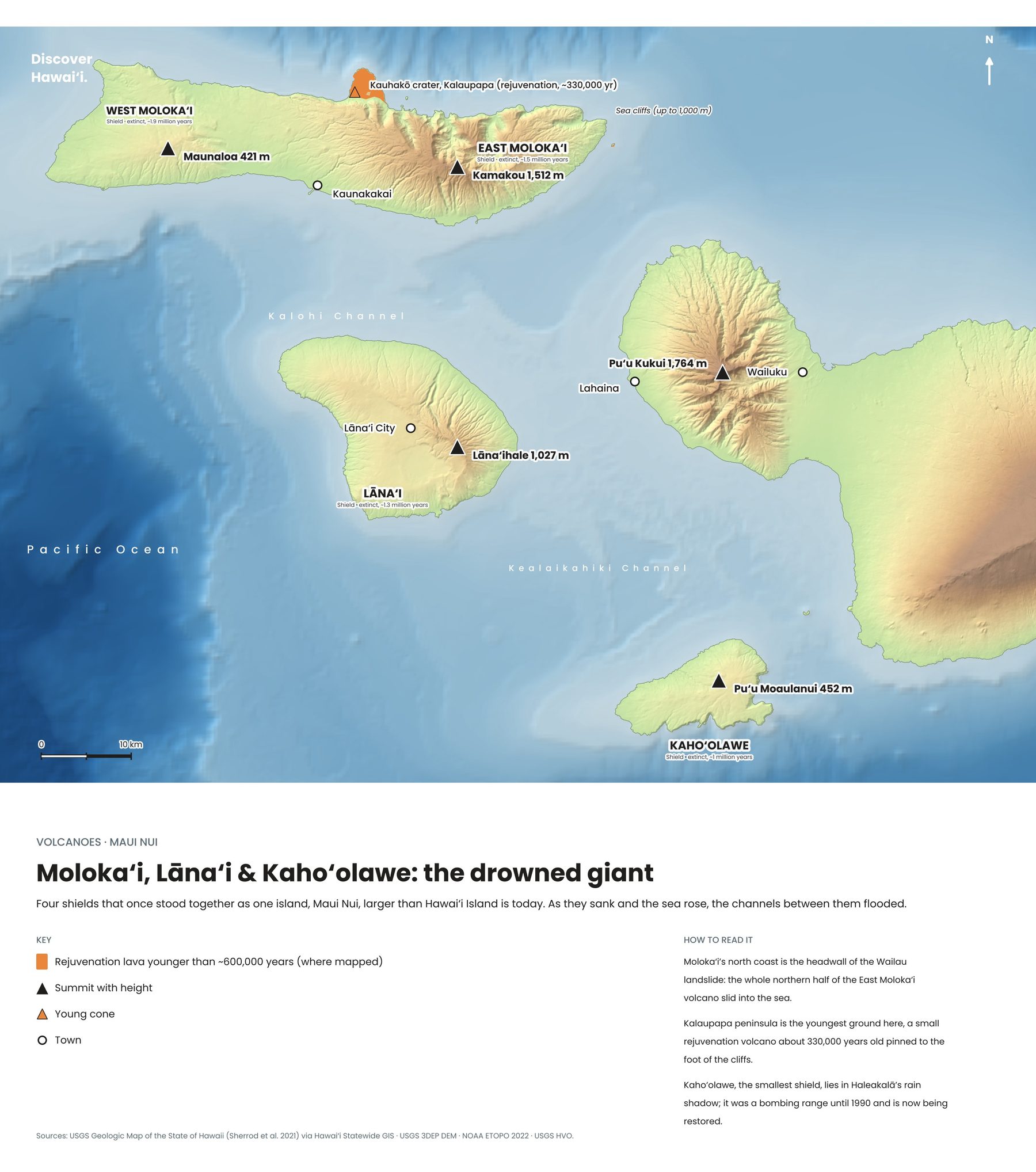
Look at a map and Maui, Molokaʻi, Lānaʻi and Kahoʻolawe seem to almost touch. That is because they were once joined. At its largest, Maui Nui, "great Maui", covered about 16,000 square kilometres, larger than today's Big Island, and was built by six or seven volcanoes: Haleakalā, West Maui, East and West Molokaʻi, Lānaʻi, Kahoʻolawe and the drowned Penguin Bank.
As the volcanoes cooled and the heavy island sank, the sea flooded the low saddles between them. Around 300,000 to 400,000 years ago Maui Nui split into two, and within the last couple of hundred thousand years Lānaʻi and Kahoʻolawe became islands of their own. During the ice ages, when sea levels fell, they were briefly joined again.
West MauiThe mountains above Lahaina
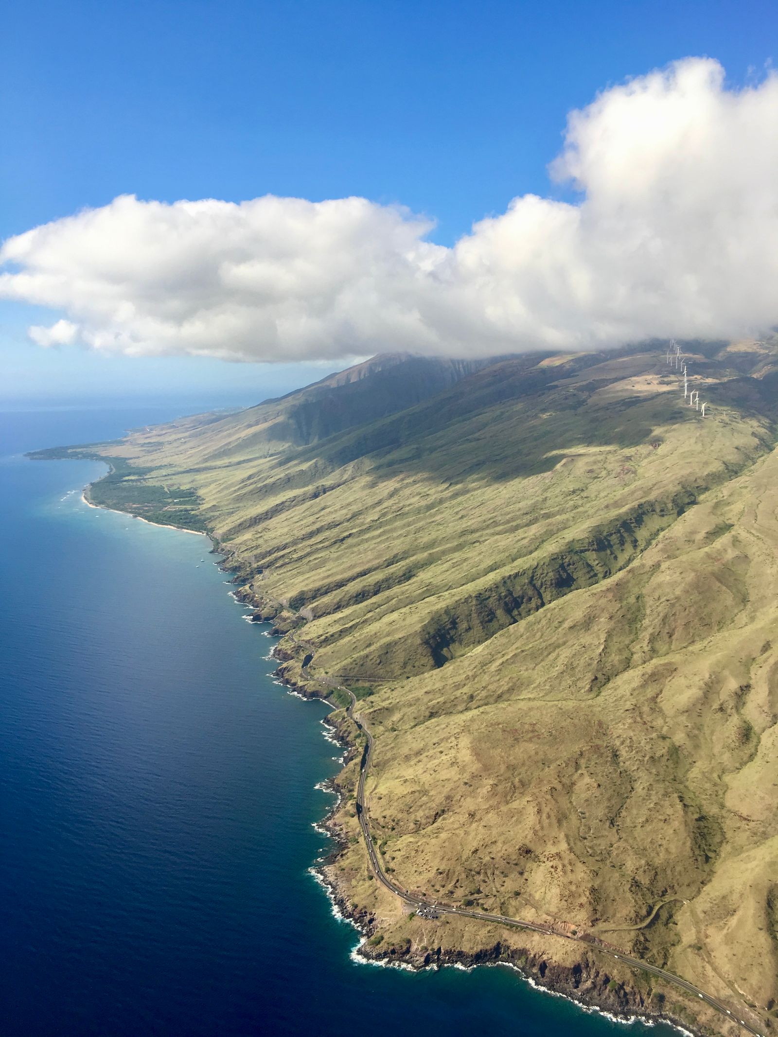
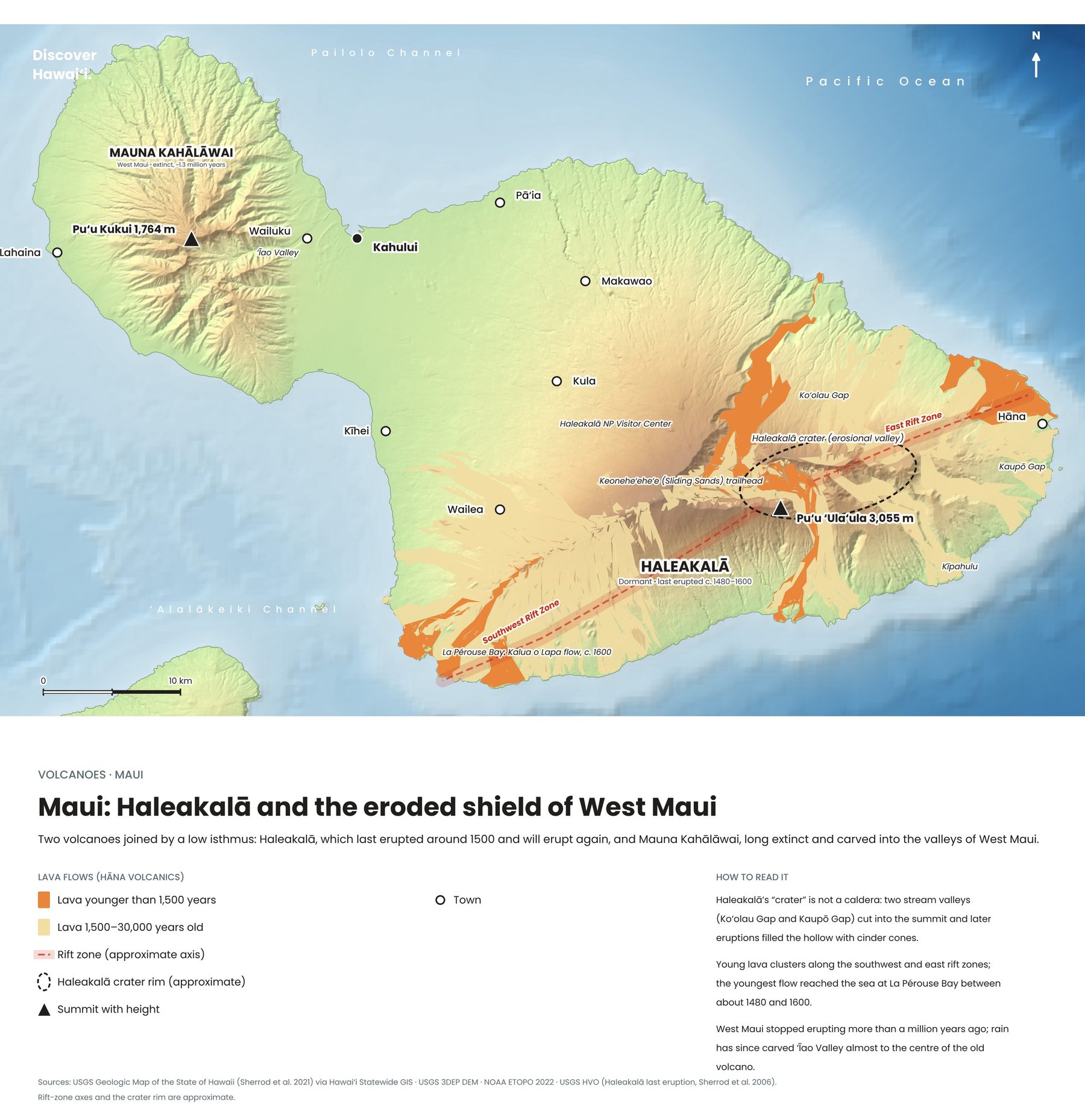
The West Maui Mountains are the eroded remains of a volcano that built its shield between about two and 1.6 million years ago. Its summit, Puʻu Kukui, rises to 1,764 metres and is one of the wettest places in Hawaii, and its slopes are cut by deep valleys such as ʻĪao, with its famous needle.
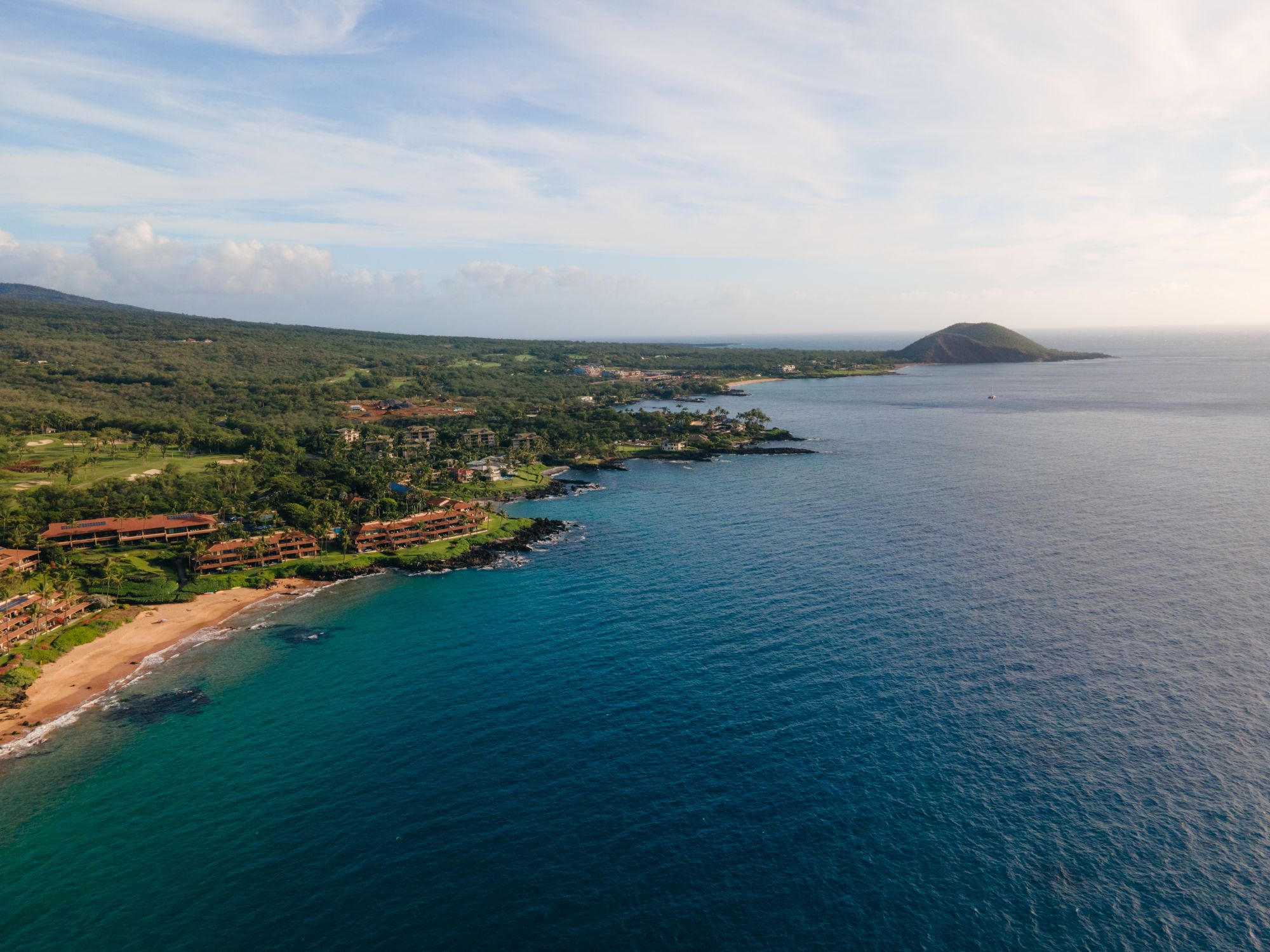
Its last small eruption, at Puʻu Laina near Lahaina, happened around 380,000 years ago. Haleakalā, the younger volcano on the other side of the isthmus, is the only part of Maui Nui that is still active.
The western volcanoesSea cliffs, a peninsula and a sacred island
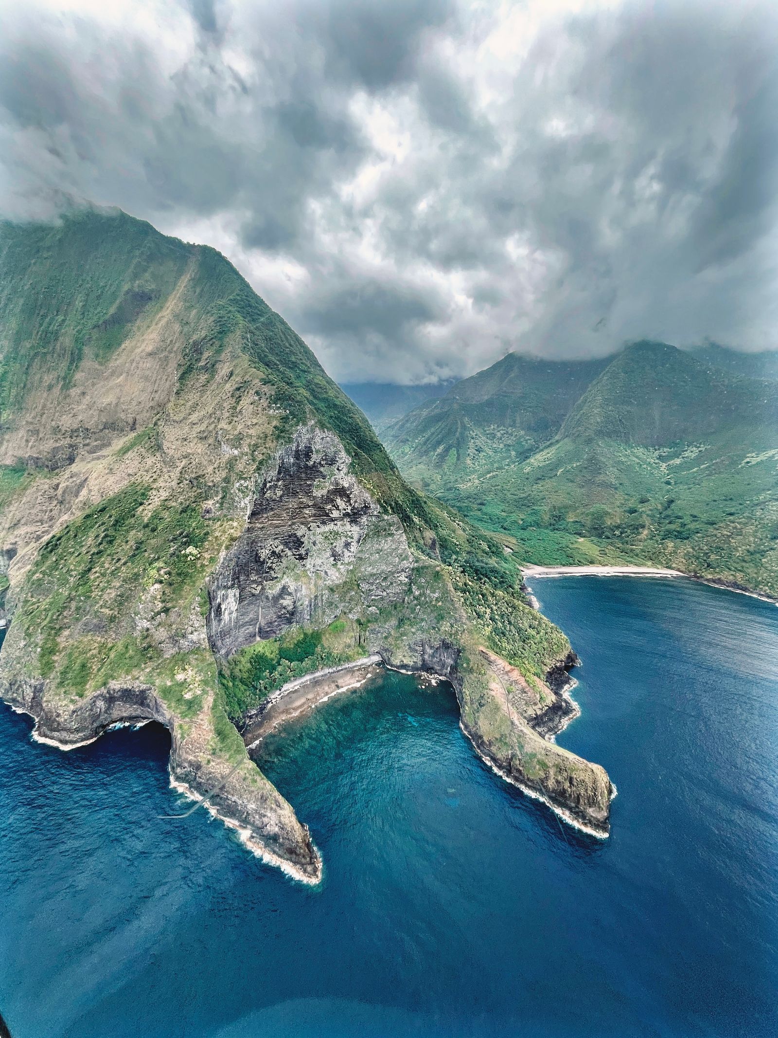
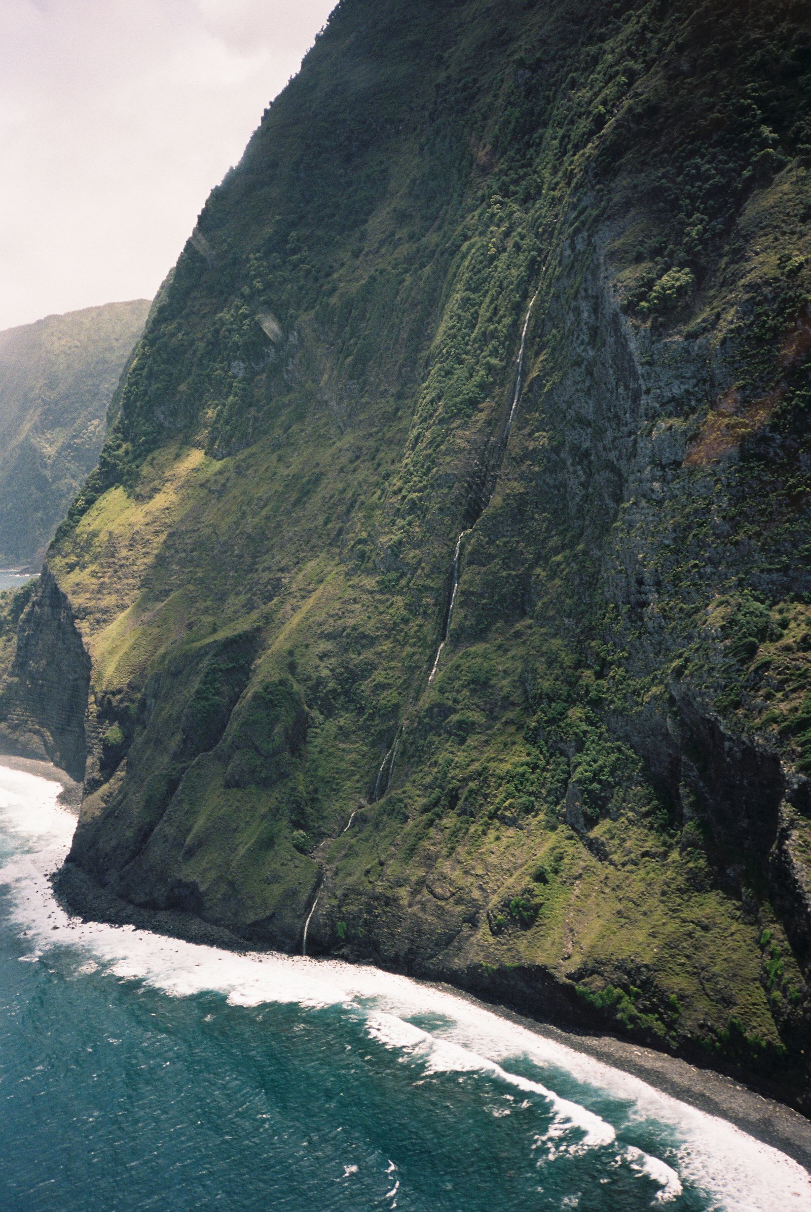
Molokaʻi is two volcanoes. East Molokaʻi, the larger, collapsed in a giant landslide that left the island's north shore with some of the highest sea cliffs in the world. Much later, a small eruption at their foot built the flat Kalaupapa peninsula, between about 500,000 and 380,000 years ago. Its summit, Kamakou, rises to 1,512 metres. West Molokaʻi is older and lower, last active around 1.8 million years ago.
Lānaʻi is a single shield volcano that went quiet about 1.25 million years ago; its summit, Lānaʻihale, reaches 1,026 metres. Kahoʻolawe, the smallest, last erupted around 1.15 million years ago and rises to 452 metres at Moaʻulanui. Once used as a military bombing range, it is now a reserve being restored by and for Native Hawaiians.